City of Brigantine, Atlantic County–Brigantine Golf Links–Lease for Clubhouse Restaurant


Pursuant to N.J.A.C. 7:36-25.13, the NJDEP has been asked to review the following proposed lease of Green Acres encumbered parkland:

Park Owner:  City of Brigantine

Park Name/Location:  

Brigantine Golf Links
1075 N Shore Dr, Brigantine, NJ 08203
https://www.brigantinegolf.com/ 

Block 8501, Lot 1

Proposed Lessee:  To be determined through public bid

Proposed Leased Premises:  Clubhouse restaurant at Brigantine Links Golf Course

Purpose of Lease:  To provide food service to golf course patrons on behalf of the City

Proposed Lease Term:  5 years (exact dates to be determined)

Proposed Compensation:  To be determined through public bid

For additional information, please contact: 

Tiger Platt
City of Brigantine Manager
Telephone:  (609) 266-7600 Ext. 212
Email: tplatt@brigantinenj.gov

Public Hearing–Minor Diversion/Disposal Application–Township of Woodbridge, Middlesex County–Merrill Park–Sewer Line Upgrade


Click Here for Full Public Hearing Notice

Applicant:  Middlesex County

Parkland Name/Location: 

Merrill Park
Township of Woodbridge
Block 426, Lot 1.01

Description of Proposed Diversion/Disposal:  

The New Jersey Department of Environmental Protection has received an application from Middlesex County requesting approval to divert 0.088 acre of Merrill Park in connection with a project to upgrade an existing sanitary sewer that passes through the park to prevent sanitary sewer backups. The project will reroute the sewer away from a tributary of the South Branch of the Rahway River and away from a footbridge and the Fairview Avenue Bridge over this tributary to minimize impacts on the park’s natural resources and infrastructure. As compensation for the proposed diversion, the County of Middlesex proposes to remit $25,000 to the New Jersey Department of Environmental Protection for deposit into the Garden State Preservation Trust Fund as compensation for the area to be occupied by the new subsurface easement.

A map of the proposed diversion area may be found here:  Map of Proposed Diversion Area

This application has been classified as a minor diversion/disposal of parkland.  Pursuant to N.J.A.C. 7:26.6(c), a public hearing on the proposed diversion/disposal application will be conducted as set forth below.

Hearing Date/Time:  Thursday, January 16, 2025 at 6:00 PM

Hearing Location:  

Woodbridge Town Hall
1 Main Street
Woodbridge, New Jersey

Public Comments Accepted Through:  Thursday, January 30, 2025

Please see public notice linked above for information about how to submit written comments.  Emailed comments to the Department are preferred.  Please include “SHC 1200052 Merrill Park Sewer Line” in the subject line of any comments emailed to the Department.

Final Hearing–City of Cape May, Cape May County–Lafayette Street Recreation Area–Disposal for Police Station


Click Here for Full Public Hearing Notice

Applicant:  City of Cape May, Cape May County

Park Name:  Lafayette Street Recreation Area

Proposed Action:

The City of Cape May has applied for approval to dispose of 0.14 +/- acre of parkland, which is located along St. John Street near the intersection of St. John Street and Lafayette Street and identified as Block 1061, Lots 44 and 47 of the Official Tax Maps of the City of Cape May, in connection with the proposed relocation of the City’s police station and development of a new police station facility on this site and adjacent non-parkland lots. The existing parkland is located within a designated Overburdened Community and in accordance with Executive Order 23, the Department will be taking Environmental Justice issues into consideration when evaluating the proposed disposal application to the extent not inconsistent with law.

As compensation for the proposed disposal, the City proposes to dedicate as parkland approximately 6.607 +/- acres of City-owned land, commonly known as the Sewell Tract, and identified as Block 1163, Lot 7; Block 1164, Lot 6; Block 1165, Lots 1 and 6; and, Block 1167, Lot 2; and Block 1168, Lot 2 on the Official Tax Maps of the City of Cape May, along with road rights of way to be vacated between these lots.

Maps of the proposed disposal area and proposed replacement parcels, and a rendering of the proposed police station building, are here:

Aerial Map of Proposed Disposal Area
Aerial Map of Proposed Replacement Parcels
Survey of Proposed Replacement Parcels
Police Building Elevation

Hearing Date/Time:  Tuesday, January 21, 2025 at 6 PM

Hearing Location: 

City of Cape May City Hall Auditorium
643 Washington Street
Cape May, New Jersey 08204

Public Comments Accepted Through:  Tuesday, February 4, 2025

Please see public notice linked above for information about how to submit written comments.  Emailed comments to the Department are preferred.  Please include “SHC 0502001 Cape May Police Station” in the subject line of any comments emailed to the Department.

Public Hearing–Minor Diversion/Disposal Application–Township of Hamilton, Mercer County–Relocation of Access Easement


Click Here for Full Public Hearing Notice

Applicant:  Mercer County

Parkland Name/Location: 

Nami Tract
Township of Hamilton
Block 2732, Lot 3.01

Description of Proposed Diversion/Disposal:  

The New Jersey Department of Environmental Protection has received an application from Mercer County requesting approval to divert 0.106 acre of parkland, through the conveyance of an access easement to a neighboring property owner, to accommodate the relocation of part of an existing access easement and driveway from property owned by the New Jersey Turnpike Authority onto County-owned Green Acres encumbered property.  The relocation is needed to preserve legal access to properties owned by the County and the neighboring private landowner (Block 2732, Lot 6) to Crosswicks-Hamilton Square Road because of right of way acquisitions by the Authority as part of the Interchange 6 to 9 Widening Project.

As part of the Widening Project, the Authority needed to acquire certain parklands from Mercer County, including interests in Block 2732, Lot 3.01 in Hamilton Township. These interests were acquired pursuant to a prior diversion application which received State House Commission approval on October 27, 2010. At that time, the County and the Authority informed the NJDEP and the Commission that they were still in the process of resolving access issues involving the Nami Tract and the adjacent farm (Lot 6) and that additional approvals might be needed from the NJDEP and the Commission in the future.   The County and the Authority now seek to address the outstanding access issue through the diversion of a 0.106 acre easement in order to relocate the prior access easement, for the benefit of the County, the Authority and the owner of Lot 6, partly onto Authority-owned land and partly onto County-owned land.

As compensation for the proposed diversion, the County will acquire from the Authority and dedicate as Green Acres encumbered open space more than double the land proposed for the diversion. The proposed replacement lands consist of 0.45 acre: (i) a 0.274 acre parcel adjacent to Block 2732, Lot 3.01 and Crosswicks-Hamilton Square Road, and (ii) a 0.176 acre parcel adjacent to Block 2732, Lot 3.01 and Block 2732, Lot 6, both in the Township of Hamilton.

A map and a survey depicting the proposed diversion area and proposed replacement parcels are here:

Nami Tract Minor Diversion Map

Access Road Survey

This application has been classified as a minor diversion/disposal of parkland.  Pursuant to N.J.A.C. 7:26.6(c), a public hearing on the proposed diversion/disposal application will be conducted as set forth below.

Hearing Date/Time:  Thursday, January 9, 2025 at 6:00 PM

Hearing Location:  

Hamilton Township Public Library
1 Justice Samuel A. Alito, Jr. Way
Hamilton, New Jersey 08619

Public Comments Accepted Through:  Thursday, January 23, 2025

Please see public notice linked above for information about how to submit written comments.  Emailed comments to the Department are preferred.  Please include “SHC 1100016 Nami Tract Minor Diversion” in the subject line of any comments emailed to the Department.

Change in Use Hearing–Borough of Seaside Heights, Ocean County–Proposed Hiering Avenue Bathhouse

Click Here for Full Public Hearing Notice

Park Owner:  Borough of Seaside Heights

Park Name:  Hiering Avenue Parcel

Park Location:

1521 Ocean Terrace, Seaside Heights

Block 55, Lot 9

Proposed Action: 

The Borough of Seaside Heights is proposing to change the purpose or use of 0.054 acre of the Hiering Avenue Parcel (Block 55, Lot 9) from a vacant lot to a bathhouse.  The lot previously contained a bathhouse that was destroyed in Superstorm Sandy.  The Borough proposes to construct a new building that will provide restrooms, shower and changing facilities, and a lactation pod for public use. The building will also have a beach support service office on the first floor and an ocean facing open viewing area and storage space on the second floor.  The Hiering Avenue Parcel is located between Ocean Terrace and the Seaside Heights Boardwalk, at the terminus of Hiering Avenue.

Plans for proposed bathhouse may be found here:  Hiering Avenue Bathhouse Plans

Additional information about the bathhouse project may be found here:  Hiering & Boardwalk Bathhouse

Hearing Date/Time:  Wednesday, December 18, 2024 at 6:00 PM

Hearing Location: 

Seaside Heights Fire House
Court Room
116 Sherman Avenue
Seaside Heights, New Jersey 08751

Public Comments Accepted Through:  Wednesday, January 1, 2025

Please click the link above for the full Public Hearing Notice, including addresses where written comments should be sent.  Please include “CIU1527001 Seaside Heights Bathhouse” in the subject line of any comments sent by email.

Public Hearing–Minor Diversion/Disposal Application–Townships of Bridgewater and Hillsborough, Somerset County–Relocation of Sewer Line


Click Here for Full Public Hearing Notice

Applicant:  Somerset County

Parkland Name/Location: 

Duke Island Park

Block 102, Lots 10 and 39, Township of Bridgewater
Block 48, Lot 10, Township of Hillsborough

Description of Proposed Diversion/Disposal:  

The New Jersey Department of Environmental Protection has received an application from Somerset County requesting approval to divert 0.42 acre of parkland, through the conveyance of a subsurface easement, to accommodate the relocation of a 54-inch diameter sanitary sewer line as part of the Headgates Dam Removal Project at Raritan River Mile 29.9.  The easement holder in this location is Bridgewater Township.  The sanitary sewer line is part of the wastewater treatment system operated by the Somerset Raritan Valley Sewerage Authority (SRVSA).

A map depicting the proposed diversion area is here:  Headgates Dam Proposed Easements

As compensation for the proposed minor disposal of parkland, the County proposes to accept monetary compensation for the value of the new easement area.  The compensation will be deposited into Somerset County’s Open Space Preservation Trust Fund to be utilized for future acquisition of land for recreation or conservation purposes.

This application has been classified as a minor diversion/disposal of parkland.  Pursuant to N.J.A.C. 7:26.6(c), a public hearing on the proposed diversion/disposal application will be conducted as set forth below.

Hearing Date/Time:  December 3, 2024 at 6:00 PM

Hearing Location:  

North Branch Park
355 Milltown Road
Bridgewater, New Jersey

Public Comments Accepted Through:  December 17, 2024

Please see public notice linked above for information about how to submit written comments.  Emailed comments to the Department are preferred.  Please include “SHC 1800027 Headgates Dam Sewer Line Relocation” in the subject line of any comments emailed to the Department.

Change in Use Hearing–Township of Clark, Union County–Clark Reservoir

Click Here for Full Public Hearing Notice

Park Owner:  Union County

Park Name:  Clark Reservoir

Park Location:

Township of Clark, Union County

Block 33, Lot 35
Block 42, Lot 89.01
Block 52, Lots 11.03, 12, and 13
Block 53, Lot 35
Block 198, Lot 1.01

Proposed Action: 

Union County is proposing to make recreational improvements to a 1.14-acre portion of the undeveloped park area known as the Clark Reservoir.  The Clark Reservoir is a 200-acre park with a large body of water and surrounding land located in the municipalities of Clark, Scotch Plains and Westfield, New Jersey.   It was formerly known as the Middlesex Water Co. Reservoir.  With the exception of improvements to the dam, the Clark Reservoir has remained unchanged since the Middlesex Water Company transferred the property to the Township of Clark in the 1990s, and the Township transferred it to the County in 2008.

The proposed changes will include constructing: (1) a boat ramp with a floating dock; (2) a fishing pier; (3) a fixed timber pier with kayak storage and floating dock with kayak launches; (3) a boat storage building that will include a stamped concrete patio and public restrooms; (4) new hiking trails, or renovations to existing ones, including two pedestrian bridges and a retaining wall in the northeast corner of the central lake (between the Raritan Road and NJ Parkway Bridges); (5) a stormwater detention area solely serving the Park; (6) parking facilities that will have access through Madison Ave for the central lake; and (7) a boat ramp on the east lake (east of the Parkway Bridge) with parking area that will have access through Wendell Avenue.

A concept plan for the proposed park improvements may be found here:  Clark Reservoir Concept Plan

Hearing Date/Time:  Tuesday, November 26, 2024 at 6:00 PM

Hearing Location: 

Clark Council Chambers
315 Westfield Avenue
Clark, New Jersey 07066

Public Comments Accepted Through:  Wednesday, December 10, 2024

Please click the link above for the full Public Hearing Notice, including addresses where written comments should be sent.

Change in Use Hearing–City of Rahway, Union County–Wheatena Park Dog Park

Click Here for Full Public Hearing Notice

Park Owner:  Union County

Park Name:  Wheatena Park

Park Location:

1850 Elizabeth Avenue, Rahway, Union County

Block 224, Lot 34 and Block 227, Lot 6

Proposed Action: 

Union County is proposing to convert 0.41 acre of open space/parkland within Wheatena Park, a County park, to a dog park in response to a request from the City of Rahway.

The 18,000-square-foot park is proposed to have two separated areas: one for large dogs (11,000 square feet) and one for small dogs, (7,000 square feet).  Construction of the park will be funded with a $500,000 grant to the City of Rahway from the Department of Community Affairs.  The City is proposing to use the grant to install fencing around the perimeter of the dog park along with other dog park amenities.

A concept plan for the proposed dog park may be found here:  Wheatena Park Dog Park Concept Plan

Hearing Date/Time:  Wednesday, November 6, 2024 at 6:00 PM

Hearing Location: 

Rahway City Hall
1 City Hall Plaza
Rahway, New Jersey 07065

Public Comments Accepted Through:  Wednesday, November 20, 2024

Please click the link above for the full Public Hearing Notice, including addresses where written comments should be sent.

Application Update–Seaside Heights Public Beach

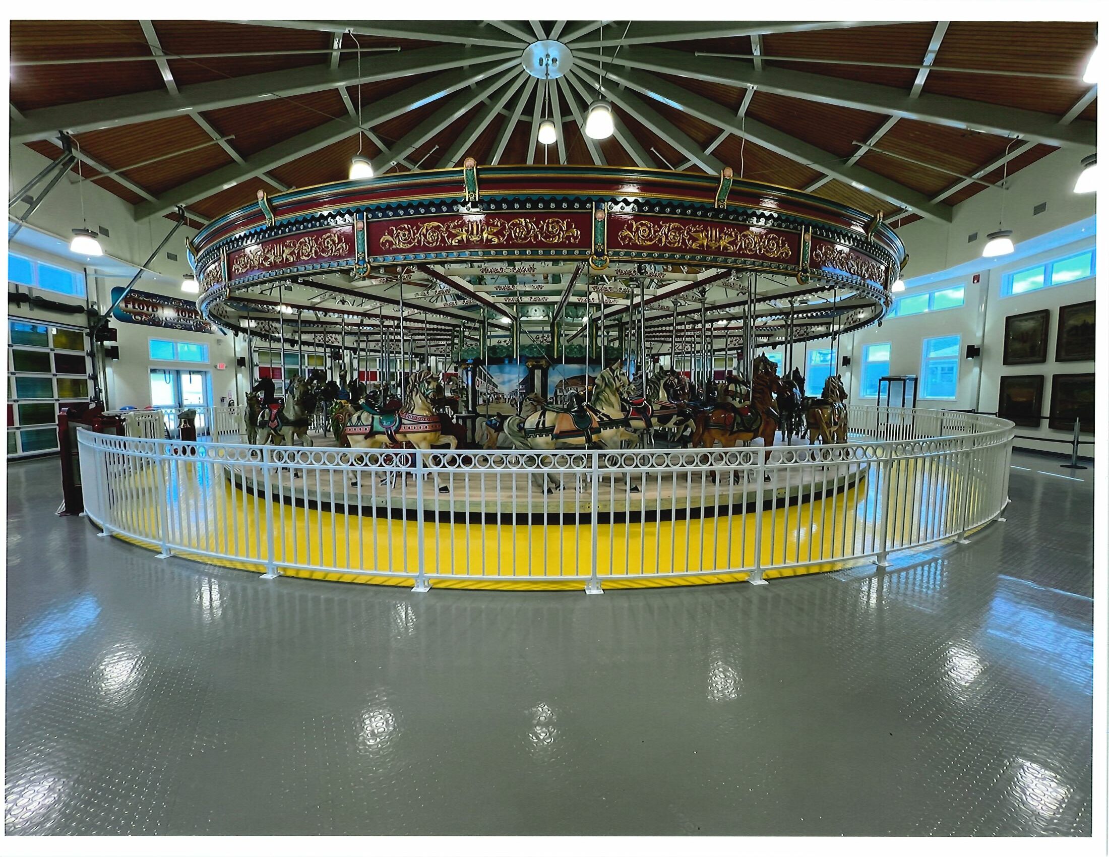
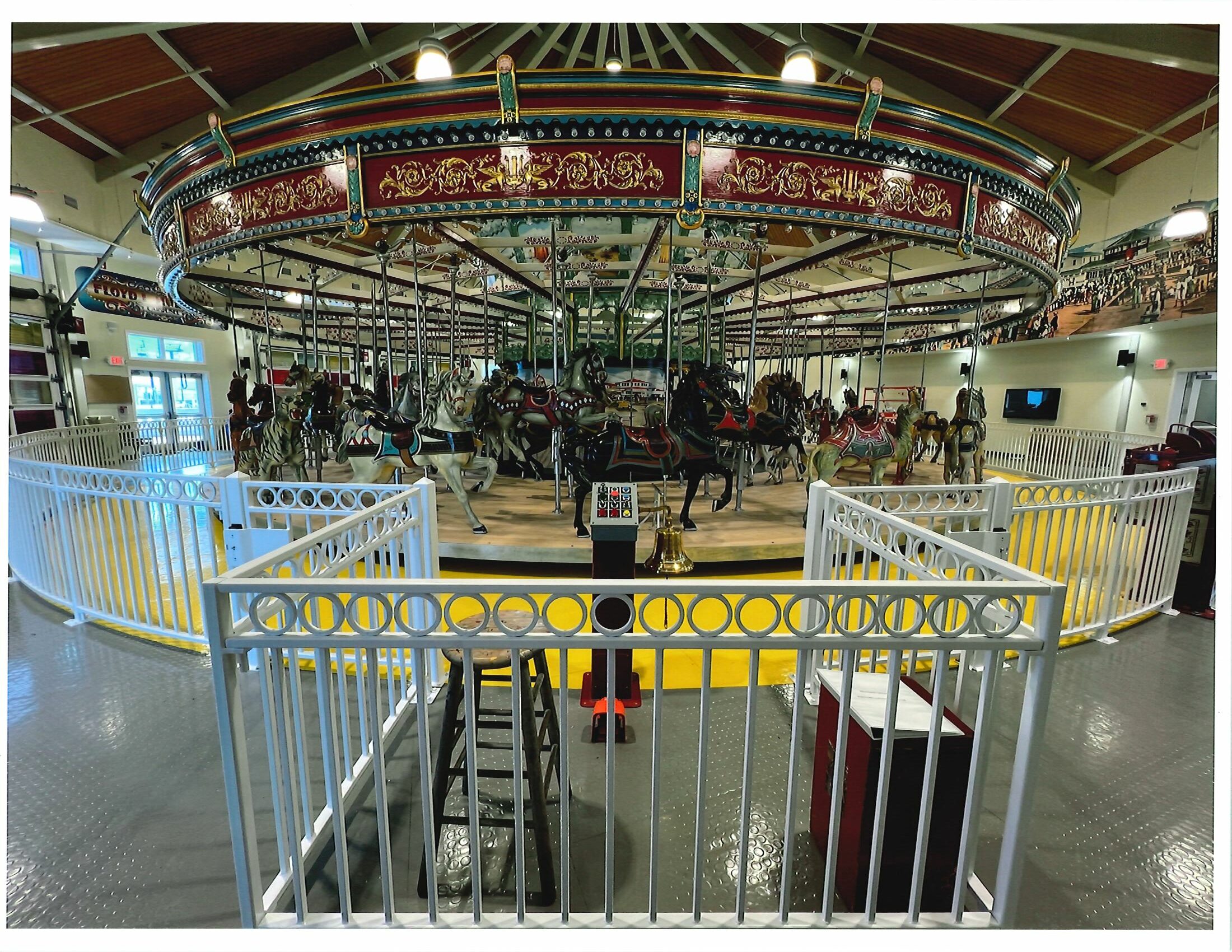
On June 30, 2016, the State House Commission approved the Department of Environmental Protection’s request to allow the Borough of Seaside Heights to transfer (dispose of) approximately 1.37 +/- acres of Borough-owned parkland, located on the Borough’s public beach, to the adjacent private owner of the Casino Pier amusement pier.   To compensate for the proposed disposal, the Borough proposed three forms of compensation:  (1) acceptance of ownership of the historic Carousel (then owned by the Casino Pier owners) for eventual public use; (2) acceptance of ownership and dedication as parkland of a vacant boardwalk parcel (Block 56, Lots 1, 3, 7 and 9, totaling 0.75 +/- acre) and (3) the dedication as parkland of 67.171 +/- acres of additional replacement land owned by Ocean County and located in Toms River Township (Block 409, Lot 20.02.)    In addition, as part of its approval, the Commission required the Borough to house the Carousel in a sheltered location in which it could be made available as a public recreational amenity, either by constructing a new building on the boardwalk replacement parcel or, if that was not feasible, then locating the Carousel somewhere else on or adjacent to the public boardwalk.   

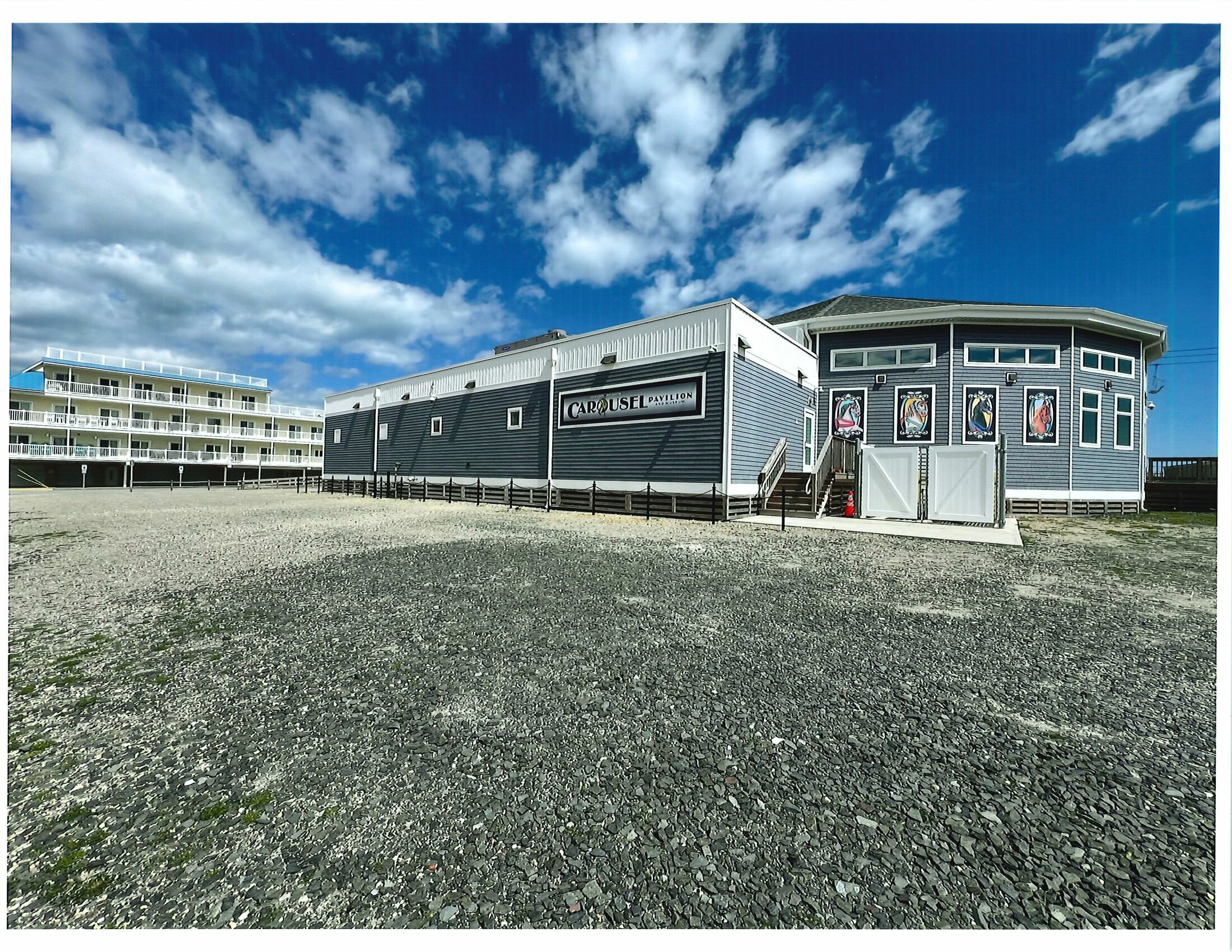
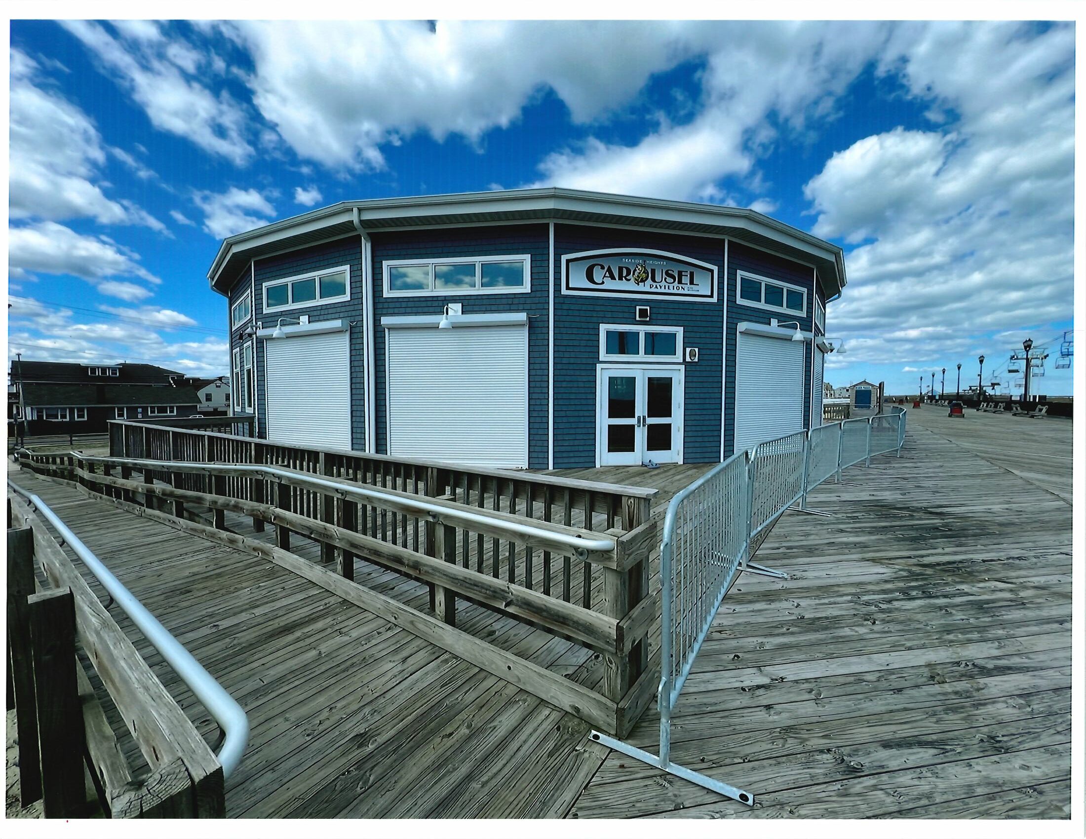
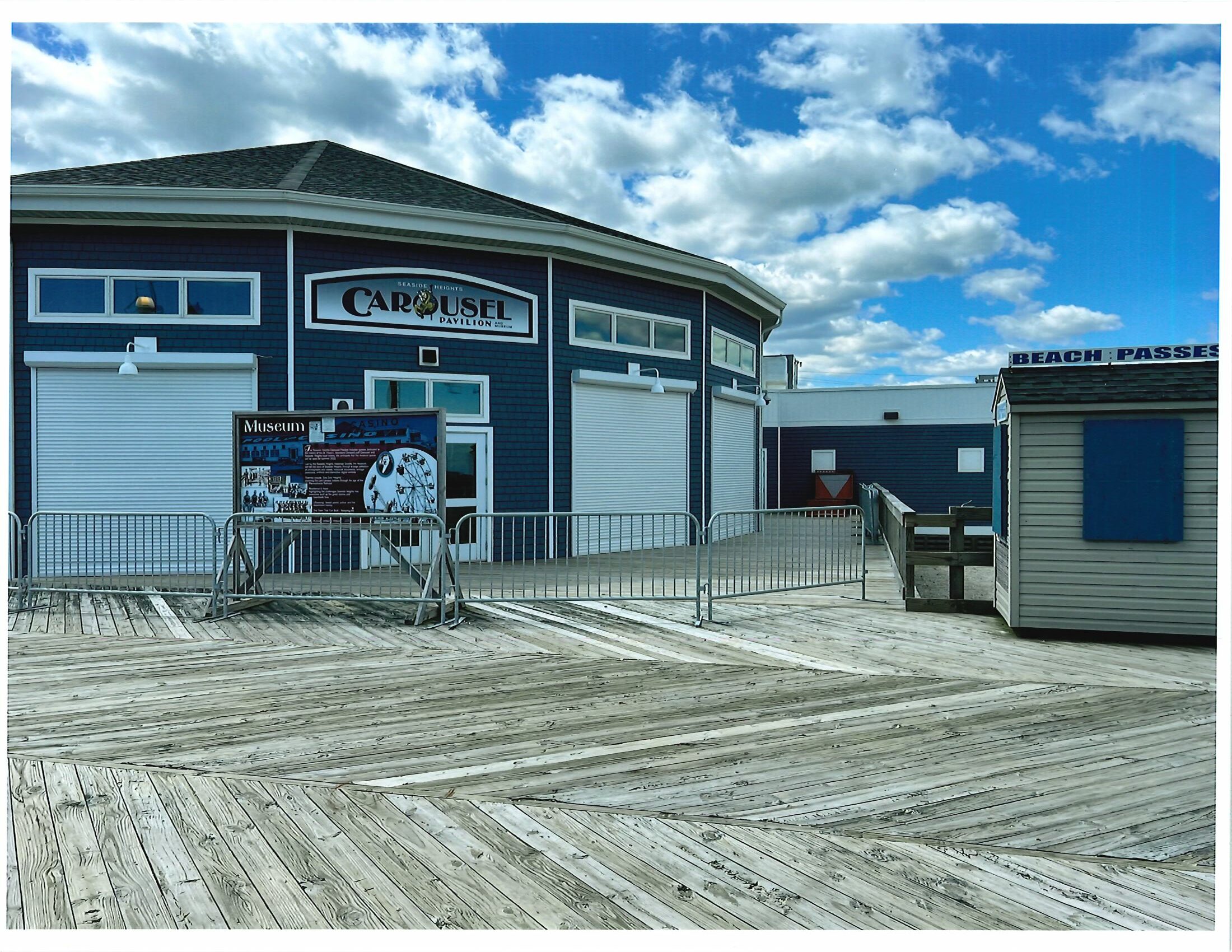
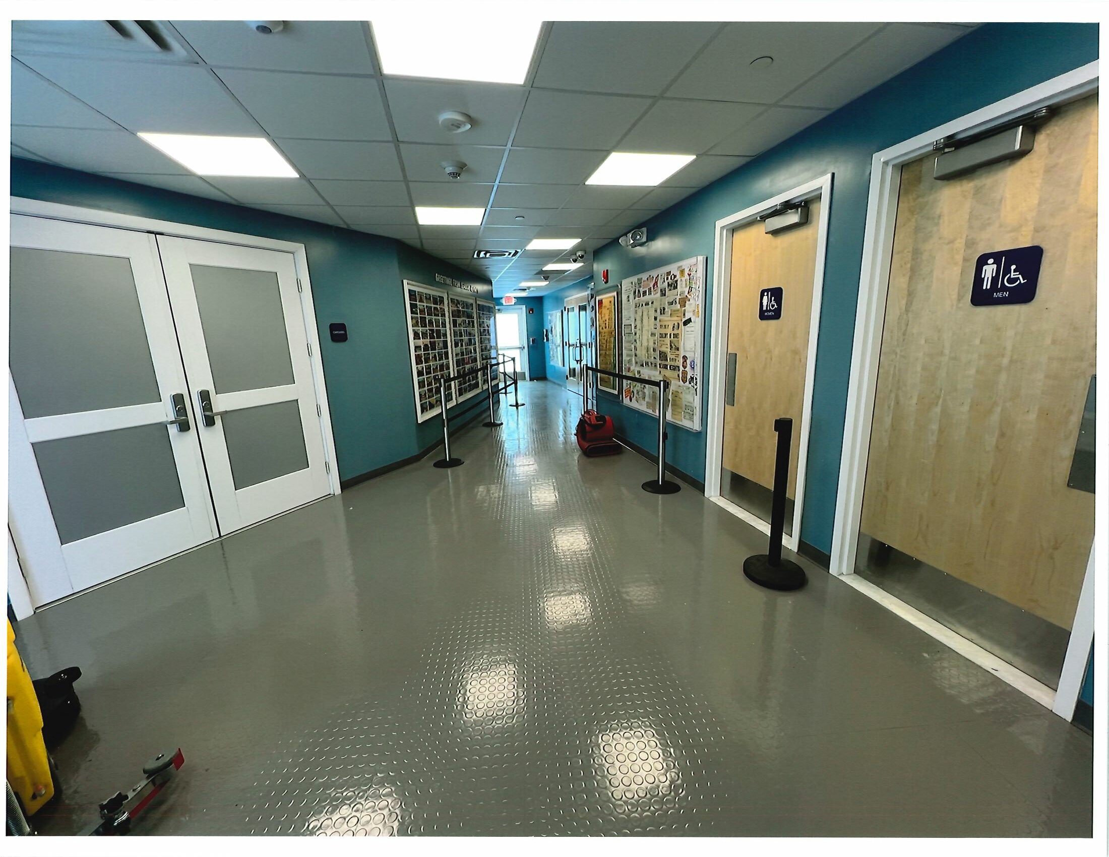
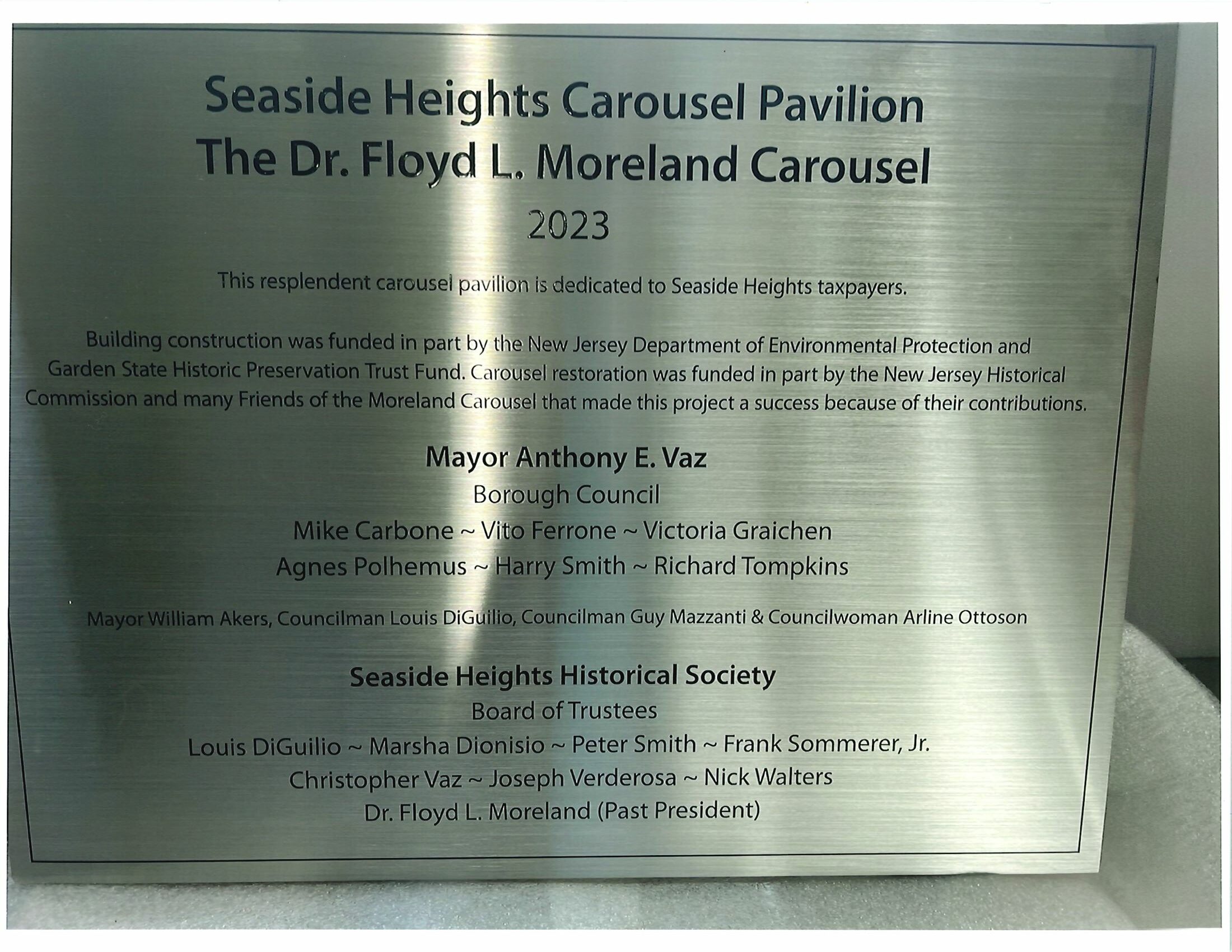
On July 3, 2024, after a five-year $2.5 million restoration project, the carousel opened in an ADA-accessible building constructed by the Borough on the Boardwalk replacement parcel.  The building also contains public restrooms and historical displays showcasing both Seaside Heights and Ocean County history.

An informative article about the restoration of the carousel may be found here:  https://lavallette-seaside.shorebeat.com/2024/06/seaside-heights-historic-carousel-to-open-to-the-public-july-3-heres-a-preview/

Conservation Restriction Release Hearing–Township of Hamilton, Atlantic County–Partial Release of Conservation Restriction

Last modified on August 6th, 2024 at 9:46 pm


Requestor:  County of Atlantic

Restricted Property:

Lake Lenape Park

Block 587, part of Lots 38 and 55

Township of Hamilton, Atlantic County

Description of Release Request:  

In accordance with the New Jersey Conservation Restriction and Historic Preservation Restriction Act, N.J.S.A. 13:8B-1 et seq., the New Jersey Department of Environmental Protection has received a request from Atlantic County to approve the partial release of a 1999 Declaration of Restrictive Covenant (1999 Deed Restriction) to allow the reconfiguration of an existing 120-foot long (916 square feet) L-shaped dock located on Block 587, Lots 38 and 55 (p/o), within the County’s Lake Lenape Park in Hamilton Township, Atlantic County, for public safety reasons.  The County proposes to replace the L-shaped dock with two new floating docks to be located within a 300 foot by 200 foot (1.39 acre) development envelope located on Lake Lenape proximate to a County boathouse. As compensation, the County proposes to prohibit development on a different 300 foot by 200 foot (1.39 acre) portion of Lake Lenape and relinquish its approval to develop a dock in that location.

The lifting of the Deed Restriction from a portion of the Property constitutes a “release” of those restrictions under the Conservation Restriction Act.  Under N.J.S.A. 13:8B-5, the County and the Pinelands Commission, as parties to the 1999 Declaration, are required to conduct a public hearing on the proposed partial release.

Under N.J.S.A. 13:8B-6, the approval of the Commissioner of Environmental Protection is required for the proposed partial release.

Background

The 1999 Deed Restriction prohibits development on Lake Lenape except for specific areas listed in a 1998 Memorandum of Agreement (1998 MOA) between the County and the Pinelands Commission. Pursuant to the 1998 MOA, the County was required to place a deed restriction on 1,822 acres on and surrounding Lake Lenape in Hamilton Township, Atlantic County. In exchange, the Commission agreed to allow certain improvements to specifically defined areas on the western shore of Lake Lenape, as set forth in the details of the 1998 MOA.

Two improvements authorized by the 1998 MOA were a 20-foot partially-submerged boat ramp and an adjacent 120-foot L-shaped dock, both proximate to a boathouse building. In 2019, representatives from the County and the Commission met to address safety issues with the size and location of the L-shaped dock.

On June 14, 2023, the County and the Commission executed an Amendment to the 1998 MOA.  The 2023 Amendment acknowledges that the County intends to amend the 1999 Declaration by removing the existing L-shaped (916 sq ft) dock and replacing it with two new floating docks measuring 300 sq ft and 1,820 sq. ft., to be situated in a 300 foot by 200 foot (1.39 acre) development envelope on Lake Lenape. The new development envelope will be located adjacent to a developed portion of the western shore of Lake Lenape that includes a boathouse, parking and boat ramp.  As compensation, the County proposes to amend the 1999 Deed Restriction to restrict development and preserve an equivalent 300 foot by 200 foot (1.39 acre) on a different portion of Lake Lenape and to relinquish its approval under the 1998 MOA to develop a dock there. The new easement area is currently undeveloped and undisturbed area of Lake Lenape Park.

The Property is located within the Pinelands Preservation Area.

Related Documents:  

Background documents on this matter may be found at:  https://www.atlanticcountynj.gov/planning/NJDEP-Public-Notice

Hearing Date/Time:  August 21, 2024 at 6:00 PM

Hearing Location:  This hearing will be held online.

Hearing Information:  

The public hearing will be conducted remotely and broadcast live on the Pinelands Commission’s YouTube channel.

To view the hearing live, please visit: https://www.youtube.com/live/4UwKR5ZNmBs?feature=shared 

To provide public comment during the hearing, please call (929) 205-6099 and use Meeting ID 831 0036 8051

Public Comments Accepted Through:  September 4, 2024

The Department invites the public to attend the public hearing and present comments on the requested release.  Written comments on the proposed release may also be submitted by September 4, 2024 to:

New Jersey Department of Environmental Protection
Office of Transactions and Public Land Administration
Public Land Compliance Section
PO Box 420
Mail Code: 401-07
Trenton, New Jersey 08625

Email:  PublicLandCompliance@dep.nj.gov

County of Atlantic
Attn:  Department of Law, Assistant County Counsel Arthur J. Murray
1333 Atlantic Avenue, 8th floor
Atlantic City, New Jersey 08401

Email:  Murray_Arthur@aclink.org

Emailed comments are preferred.  Please put “CRR0112002 Lake Lenape Pinelands” in the subject line of your email.