North East Reports
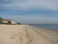
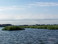
Photo Credit: NJDEP
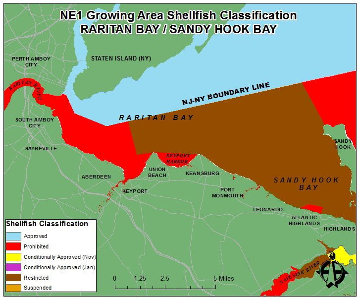
Shellfish growing area NE-1 is located in northern New Jersey between Middlesex and Monmouth Counties, and situated within the Hudson-Raritan Estuary (also known as the New York/New Jersey Harbor Estuary). The Hudson-Raritan Estuary is one of the most diverse places on the east coast. It is home to millions of residents, ports, industries, and transportation complexes. This estuary is one of the larger estuaries on the East coast, with over 10 millions acres and is divided into four major complexes: Raritan-Sandy Hook Bay, Newark Bay, Upper/Lower New York Bay, and Jamaica Bay. Growing Area NE-1 lies within the Raritan-Sandy Hook Bay complex. This complex is the largest complex in the Hudson-Raritan Estuary, with a surface area of approximately 69,188 acres and includes two major waterbodies – Raritan Bay and Sandy Hook Bay. The approximate size of this shellfish growing area is 33,080 acres, which is roughly half of the Raritan-Sandy Hook Bay complex.
Status: The current shellfish classifications are Restricted (77%) and Prohibited (23%). There are no Approved or Conditionally Approved waters assigned to this growing area. Sandy Hook Bay is classified as Restricted, except for a small buffer zone that surrounds the Atlantic Highland Municipal Marina, which is classified as Prohibited. Because this growing area is classified as Restricted and Prohibited, there is no direct market of shellfish harvested from this area. Shellfish that are harvested must undergo either depuration or relay before they are marketable. Depuration is used for 100 percent of hard clams harvested from the Restricted waters of this growing area.
Most recent Reappraisal Report
Most recent Sanitary Survey Report
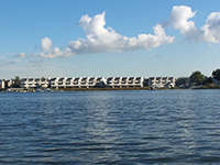
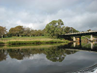
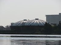
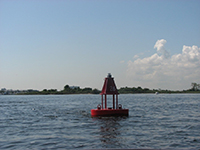
Photo Credit: NJDEP
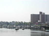
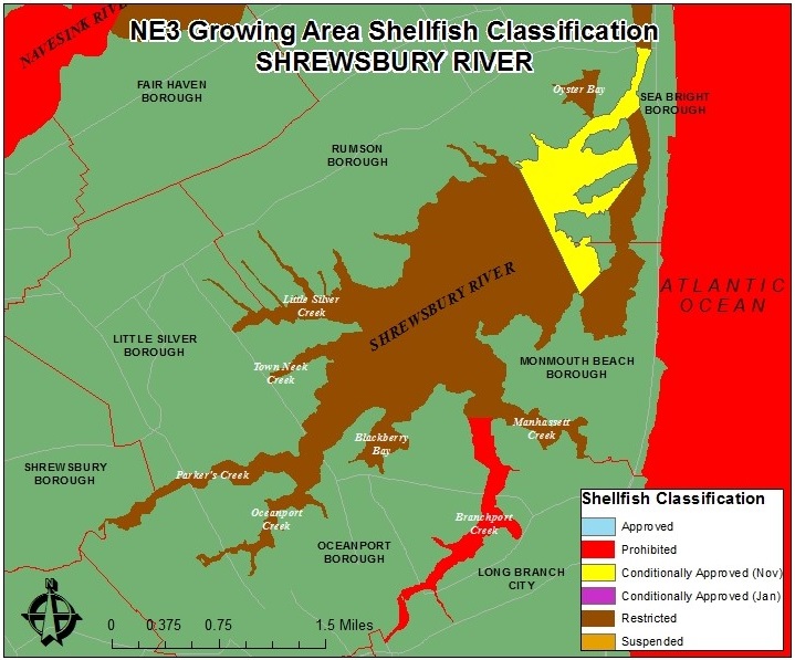
The Shrewsbury River is located in northern Monmouth County. Tidal waters enter the Shrewsbury River Basin via Sandy Hook Bay. The Shrewsbury River connects to the Navesink River via a narrow channel (see map). There are numerous small creeks off of the Shrewsbury River including Little Silver Creek, Parkers Creek, Oceanport Creek, and Branchport Creek. Seven municipalities surround the Shrewsbury River; they are Rumson Borough, Little Silver Borough, Shrewsbury Borough, Oceanport Borough, Long Branch City, Monmouth Beach Borough, and Sea Bright Borough (see map). It total, the Shrewsbury River drains an area of 27 square miles.
Status: The approximate size of this shellfish growing area is 2,309 acres. Shellfish classifications in this growing area include Conditionally Approved (Nov.-Apr.) (12% of growing area), Restricted (82% of growing area), and Prohibited (6% of growing area). There are no Approved waters in this growing area. The Restricted classification means that it is prohibited to harvest shellfish from these waters to direct market; a special permit must be issued to be in compliance with N.J.A.C. The Conditionally Approved (Nov.-Apr.) waters are open for harvest from November 1st to April 30th, and closed for harvest from May 1st to October 31st of each year.
Most recent Reappraisal Report
Most recent Sanitary Survey Report
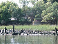
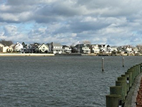
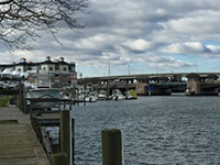
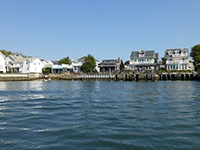
Photo Credit: NJDEP
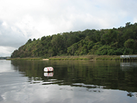
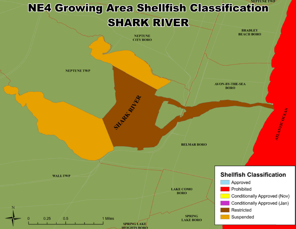
The Shark River is located in Monmouth County. Tidal waters enter the Shark River via the Shark River Inlet. There are numerous freshwater influences Shark River including Shark River Stream, Jumping Brook, Musquash Brook, and Laurel Gully Brook, and Heroy’s Stream. The Shark River is bordered the following municipalities: Avon-by-the-Sea, Neptune City, Neptune Township, Wall Township and Belmar Borough. In total, the Shark River is about 11 miles long and has approximately 800 acres of shellfish growing waters.
Status: The Shark River is classified as Restricted (47% of growing area) and Suspended (53% of growing area); no harvesting for direct market is allowed in Restricted waters. Shellfish harvest Suspended area has expanded by an additional 153.7 acres in the southwest portion of the river, please see the Public Notice for more information. Special sampling and monitoring, with help from local municipalities and the Department of Transportation, is being conducted to find and correct potential pollution sources to the Shark River.
Most recent Reappraisal Report
Most recent Sanitary Survey Report
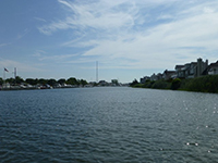
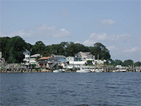
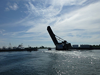
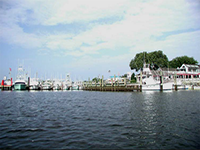
Photo Credit: NJDEP
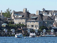
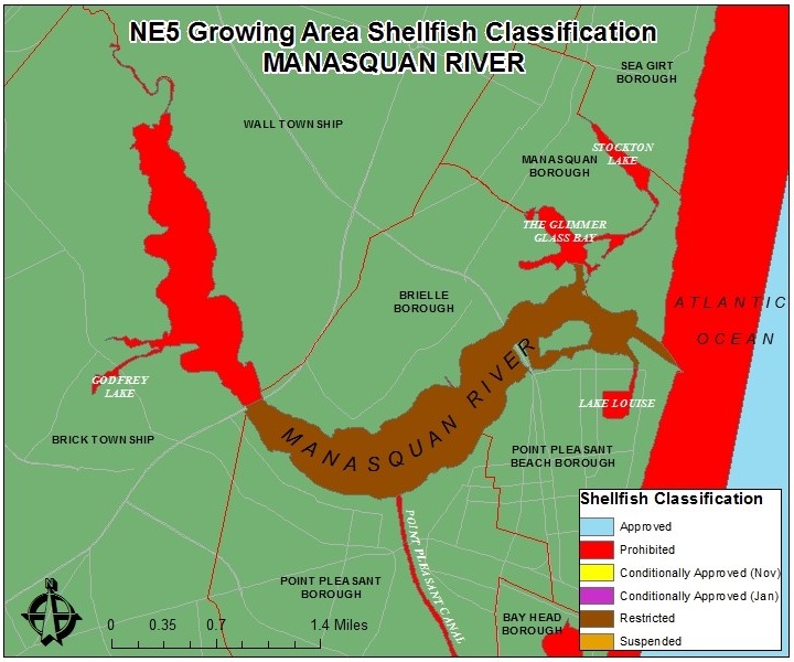
The Manasquan River divides Ocean and Monmouth Counties, with Ocean County to the south and Monmouth County to the north. It is approximately 81 miles long and drains an area of 81 square miles into the Atlantic Ocean through the Manasquan Inlet. This river also connects to Barnegat Bay via the Point Pleasant Canal. There are several small lakes off of the Manasquan River including Lake Louise, Stockton Lake, The Glimmer Glass Bay, and Godfrey Lake. Six Municipalities surround the Manasquan River, including Brick Township, Wall Township, Point Pleasant Borough, Point Pleasant Beach Borough, Manasquan Borough, and Brielle Borough.
Status: Shellfish Classification for this growing area includes Restricted (55%) and Prohibited (45%) classifications. There are no Approved waters in this growing area. Waters are Prohibited upstream of the Rt. 70 Bridge across the Manasquan River, and Restricted downstream of the Rt. 70 Bridge. Additionally, the Point Pleasant Canal, Lake Louise, The Glimmer Glass Bay, and Stockton Lake are Prohibited areas. The Restricted classification means that it is prohibited to harvest shellfish from these waters to direct market; a special permit must be issued to be in compliance with N.J.A.C. 7:12.
Most recent Reappraisal Report
Most recent Sanitary Survey Report
