 OFFICIAL SITE OF THE STATE OF NEW JERSEY
Educational Publications & Info
Educational materials provided by the New Jersey Geological & Water Survey include Informational Circulars (IC), Newsletters, and other miscellaneous educational publications and information. Information circulars and newsletters are intended to provide the public with general information on geology, geologic history, and the water resources of New Jersey. These are less-technical reports with the goal of reaching students and the general public. Miscellaneous educational publications and information include booklets, reports, field trips, pamphlets, and maps related to topics such as New Jersey’s geology, water supply, or earthquake risk. The Bedrock Geologic Map of New Jersey (2014) is available for purchase in hard copy.
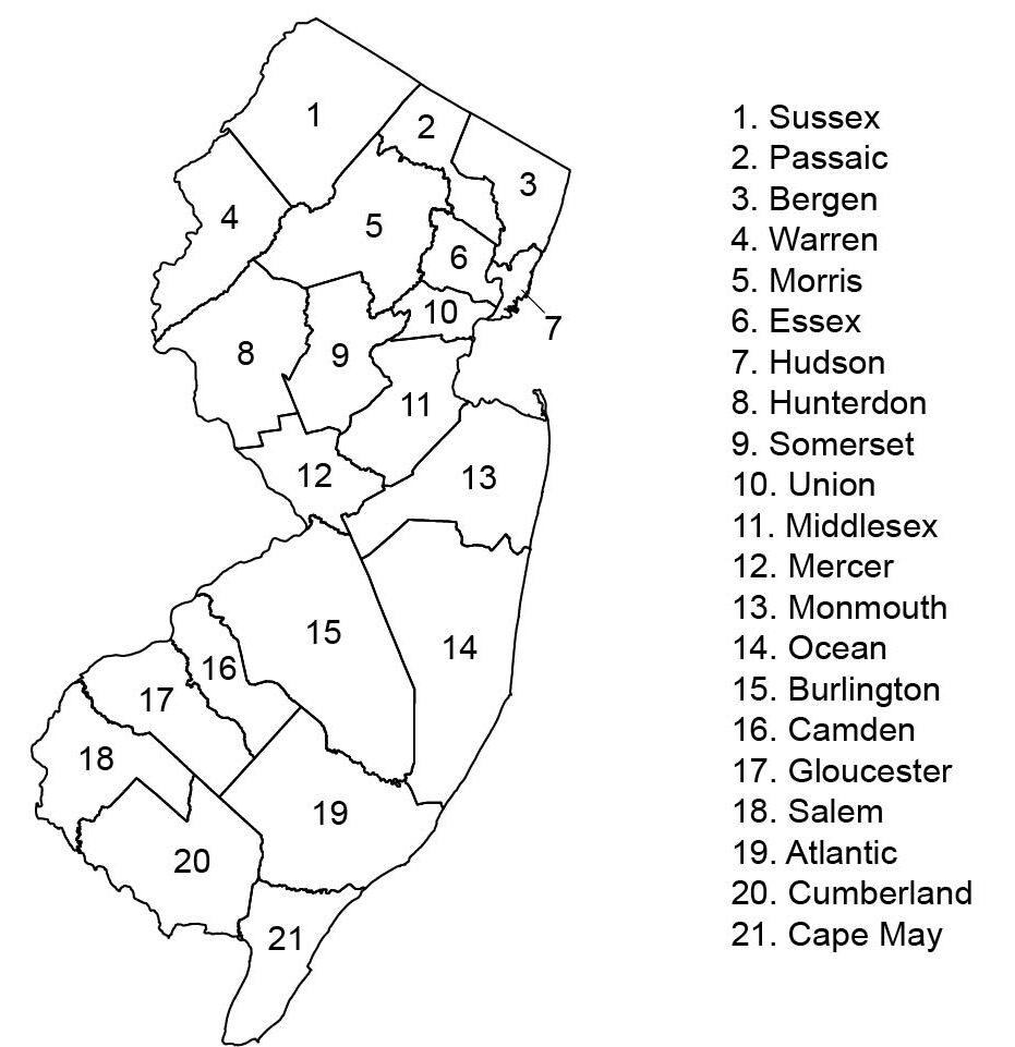
County in Brief Report Series
| Volume | Number | Newsletter Headlines | Publication Date |
| Vol. 1 | No. 1 | Protecting the Highlands’ potable water Predicting earthquake damage in Middlesex County Offshore sand exploration for shore protection projects |
Winter 2005 |
| No. 2 | The geologic history of NJ’s landscape NJ’s redesigned ambient ground-water quality monitoring network Arsenic in the Piedmont aquifers What’s on my bloomin’ pyrite? |
Summer 2005 | |
| Vol. 2 | No. 1 | Karst in the Delaware Water Gap National Recreation Area New research in ground-water flow in carbonate-fractured rock aquifers Hydrogeological framework of the Brunswick aquifer at the Heron Glen Golf Course, Hunterdon County Prehnite primer |
Winter 2006 |
| No. 2 | Sentinels at the northern border The NJGS and the 2006 Water Supply Plan Geologic history and virtual field trip of the NJ Highlands Cape May diamonds |
Summer 2006 | |
| Vol. 3 | No. 1 | Hydroecological Integrity Assessment Process (HIP) NJ brownstone NJGS joins the earthcache craze Ain’t she a beauty? |
Winter 2007 |
| No. 2 | Glacial lake Passaic Nor’easter generates landslide activity Anthropormorphize this! Iron for independence |
Summer 2007 | |
| Vol. 4 | No. 1 | Iron in the NJ Highlands NJ’s abandoned mines: a subsidence mitigation plan The A.K. Hay well – NJ’s first artesian well Going to extremes |
Winter 2008 |
| No. 2 | Investigating deep aquifers using coreholes and geophysical logs in southwest New Jersey The R.C. Harris well: a flowing failure? Arsenic in well water of the Highlands: natural source or a legacy of mining and smelting? Fluorescent minerals NJGS historical documents now available online |
Summer 2008 | |
| Vol. 5 | No. 1 | Rock joints in the Newark basin Using ground-water temperature to evaluate fracture connectivity Canals and water-power raceways of NJ Copper in NJ |
Winter 2009 |
| No. 2 | A plan to plunder NJ’s water The NY-NJ line war Old Dutch mine Derivation of equation governing the area of solar radiation on the earth surface as a function of time and slope |
Summer 2009 | |
| Vol. 6 | No. 1 | Deep drilling at Limecrest quarry, Sparta, NJ: a geologic perspective Tripod rocks and glacial erractics Copper of the northern NJ Piedmont |
Winter 2010 |
| Vol. 7 | No. 1 | NJ granites; NJ gold; Central NJ copper; Oldest rock. | Winter 2011 |
| No. 2 | Mapping clays and interbedded sands in the Cohansey Formation Carbon sequestration investigations by the NJGWS Moderate earthquake in Virginia felt in NJ Stilbite and laumonite Water transfers in NJ, 2007 |
Summer 2011 | |
| Vol. 8 | No. 1 | Building stones of the Trenton barracks Geologic and aquifer mapping at Double Trouble State Park Mobile marketing at NJGWS A brief history of central NJ copper |
Winter 2012 |
| No. 2 | Recent and future sea-level rise along Delaware Bay Geothermal parameters required for the design and installation of geothermal heat-pump systems in NJ One of the largest rockslides ever recorded in NJ The history of the Delaware & Raritan Canal NJ garnets Geomorphic effects of Hurricane Sandy: a preliminary look |
Summer/Fall 2012 | |
| Vol. 9 | No. 1 | Kornerupine: a rare and unusual mineral from the NJ Highlands NJGWS studies NJ springs Tourmaline in NJ |
Winter/Spring 2013 |
| No. 2 | Geologic maps for NJ: 20 years of STATEMAP From the archives: historic photos from the NJGWS photo library Epidote in NJ NJGWS publishes offshore geologic map |
Summer-Fall 2013 | |
| Vol. 10 | No. 1 | Mapping, monitoring and managing Cape May County’s groundwater resource Late Pleistocene alluvium recently uncovered in Raritan Township, Hunterdon County The wedge: titanite From the archives: ilmenite NJGWS signs cooperative agreement with U.S. Dept. of Interior |
Winter/Spring 2014 |
| No. 2 | NJGWS publishes “Bedrock Geologic Map of NJ, 2014” ABRACADABRA; where did the well go? Serpentine: an abundant NJ mineral From the archives: ore mining in NJ |
Summer-Fall 2014 | |
| Vol. 11 | No. 1 | Coreholes reveal glacial and postglacial history at Sandy Hook Granite in NJ Apatite: a common mineral (but not usually recognized) NJGWS locates shipwreck in Brick Township, Ocean County, NJ |
2015 |
The following reports provide a summary of the geology within New Jersey’s counties:
| Title | Author(s) | Publication Date |
| Geology of Atlantic County in Brief | Jogan, Brenda M. H. | 1978 |
| Geology of Bergen County in Brief | Lucey, Carol S. | 1971 |
| Geology of Burlington County in Brief | Lucey, Carol S. and Widner, Kemble | 1977 |
| Geology of Cape May County in Brief | Lucey, Carol S. | 1976 |
| Geology of Essex and Union County in Brief | Lucey, Carol S. | 1976 |
| Geology of Hunterdon County in Brief | Lucey, Carol S. | 1970, reprinted 1979 |
| Geology of Mercer County in Brief | Widmer, Kemble | 1977 |
| Geology of Middlesex County in Brief | Dombroski, Daniel R., Jr. | 1980 |
| Geology of Monmouth County in Brief | Dahlgren, Paul B. | 1977 |
| Geology of Morris County in Brief | Lucey, Carol S. | 1972, reprinted 1977 |
| Geology of Passaic County in Brief | Harper, David P. | 1977 |
| Geology of Somerset County in Brief | Tobiassen, Debra | 1978 |
| Geology of Sussex County in Brief | Lucey, Carol S. | 1969 |
| Geology of Warren County in Brief | Lucey, Carol S. | 1971 |
Articles, Booklets, Reports, Field Trips, & Pamphlets
Maps
| Title | Compiler(s) or Author(s) | Date | Scale |
| Delaware and Raritan Canal Historic Map | – | 1976 | – |
| Bedrock Geologic Map of New Jersey | Dalton, Richard F., Monteverde, Donald H., Sugarman, Peter J., & Volkert, Richard A. | 2014 | 1:250,000 |
| Surficial Geologic Map of New Jersey | – | 2016 | 1:1,000,000 |
| Bedrock Geologic Map of New Jersey | – | 2017 | 1:1,000,000 |
| DWSG Fall Retreat Packet | – | 2024 |