 OFFICIAL SITE OF THE STATE OF NEW JERSEY
New Jersey Geological & Water Survey
Bureau of Water Resources & Geoscience
What’s New?
Check out the NJ Drought Information page!
Latest Drought News Releases:
June 11th, 2025 – The Murphy Administration today lifted the drought warning in place across New Jersey since last fall as rainfall patterns have improved in recent months.
All drought regions will return to normal conditions, with the exception of the Coastal South region, which is being moved to drought watch status as conditions improve. The Coastal South Region includes all of Atlantic, Cape May and Cumberland counties; eastern Camden, Gloucester and Salem counties; southeastern Burlington County; and southern Ocean County.
July 19, 2023
Governor Murphy Signs Legislation Designating Franklinite as State Mineral (Governor’s Office News Release)
February 14, 2023
As part of the 2023 – 2028 Water Supply Plan update, DWSG developed an ArcGIS Online product called “New Jersey Water Withdrawal Data Summary Viewer”. The interactive map allows users to select, plot and download water withdrawal data by either municipality or 14-digit hydrologic unit. It provides an alternative way of viewing withdrawal data that is also included in the DGS13-1 file. Data can be viewed statewide or by selecting one or more of the geographic divisions. Downloads, in CSV format, are reflective of municipality or HUC14 selection. Data can also be sorted by source of water (e.g. groundwater, surface water, etc.) or by use of water (e.g. potable, agriculture, power generation, etc.). The dashboard can be viewed at New Jersey Water Withdrawal Data Summary Viewer. This new graphical and interactive format should increase user access and accessibility.
OFM 164 Geologic Map of the Shiloh Quadrangle, Cumberland and Salem Counties, New Jersey
GMS 25-2 Geologic Map of the Cedarville Quadrangle, Cumberland County, New Jersey
OFM 163 Geology of the Mays Landing Quadrangle, Atlantic County, New Jersey
OFM 162 Bedrock Geologic Map of the Rocky Hill Quadrangle Somerset and Mercer Counties, New Jersey
DGS04-7 Historic Fill For New Jersey updated (4-15-2025)
DGS05-2 New Jersey Ambient Groundwater Quality Monitoring Network, 2020-2022 (Updated 3-6-2025)
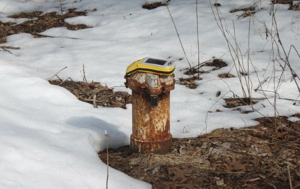
Sinkholes
Do you have a sinkhole on your property? Learn about the types of sinkholes found in New Jersey, sinkhole and remediation, and resources that NJGWS provides. Find guidance for solid waste sinkholes in our sinkhole guidance document.
Rock Identification
Need help identifying a rock or mineral? Please provide a description of the rock/mineral you wish to be identified, where the rock/mineral was found, and a picture of the rock/mineral that includes a scale for reference to NJGWS.
IMPORTANT INFORMATION
PLEASE READ!
Earthquakes
Do you think you felt an earthquake?
Find information about Earthquake Risk in New Jersey,
Earthquakes Epicentered in New Jersey, and outside of New Jersey. Report possible earthquake occurrences in New Jersey to NJGWS. Check out the 4/5/2024 NJ Earthquake page!
Well Permitting
Find information pertaining to Well Permits, Licensures, Exams, and Continuing Education for well drillers and pump installers, the New Jersey State Well Drillers and Pump Installers Examining and Advisory Board, and the Private Well Testing Act.
Water Allocation
Find information pertaining to Water Allocation Permits & Registration, Agricultural Certifications & Registration, Dewatering Permits, Utilization & Diversion, and more.
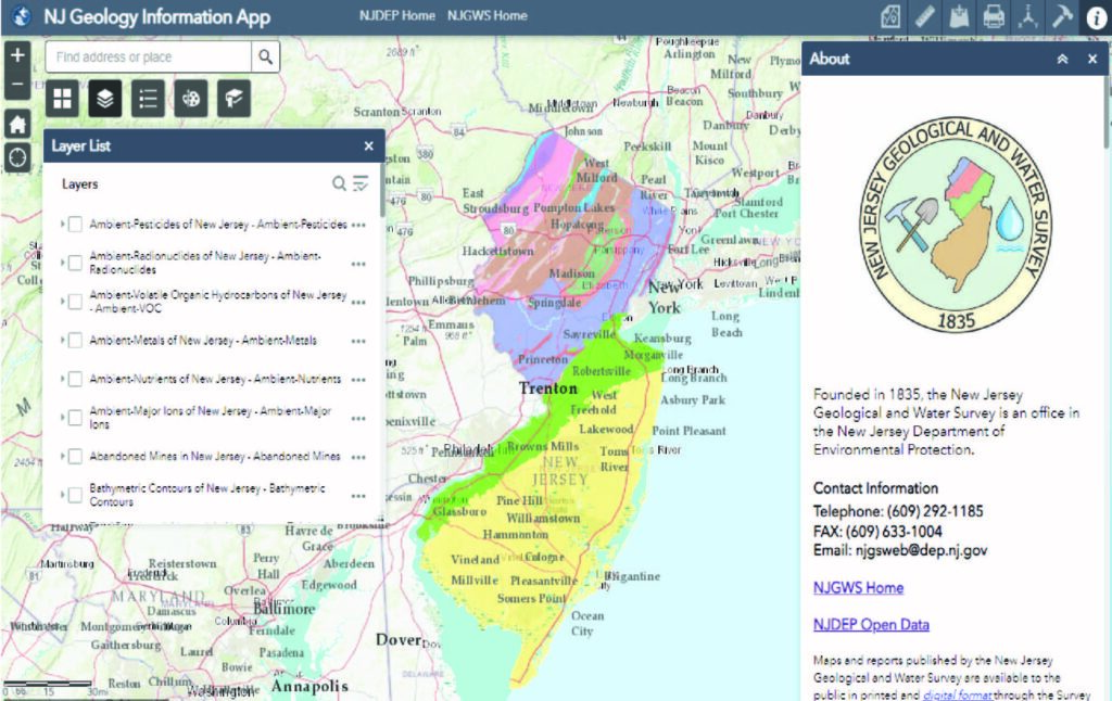
Interactive Mapping
Use the NJ Geology Information Web App to find information about New Jersey’s geology, aquifers, well head protection areas, etc. or the NJ-GeoWeb App to locate areas of interest, interact with the Department’s GIS data, and query related environmental information.
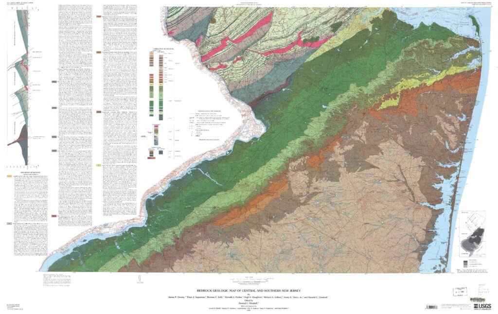
Geologic Maps and Reports
Includes published geologic maps and reports about geophysical and hydrogeologic investigations, water quality data, deep well catalogs, and more.
NJGWS Digital Data
Includes data sets compiled for use in Geographic Information System (GIS) software and other software applications stemming from Survey projects.
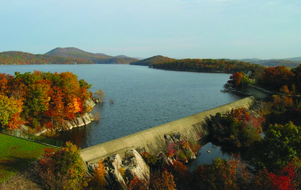
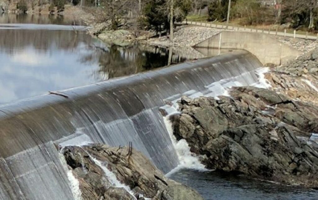
Drought Monitoring
New Jersey Drought Information provides drought status and conditions, as well as real-time drinking-water-supply indicators for precipitation, confined and unconfined groundwater, streamflow, and reservoirs.