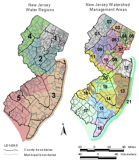
DGS00-2 Areas of Counties and Municipalities in Water Regions and Watershed Management Areas for New Jersey
Abstract
DGS00-2 is a computerized spreadsheet in a Microsoft Excel workbook format that provides a tabular summary of how the area in New Jersey is divided among 21 counties, 582 municipalities, 5 water regions, and 21 watershed management areas by the N.J. Department of Environmental Protection Geographic Information System. This workbook consists of 4 worksheets containing 5 tables. The worksheets include: 1) metadata, 2) the areas of each county and municipality within each water region and watershed management area , 3) the fractional percentage of each municipality and county with respect to each water region and watershed management area, and 4) a list of Federal listing and State water-supply reference codes for the set of counties and municipalities.
