|
Category
|
Winner
|
Map Title
|
Thumbnail
|
|
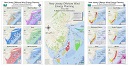
ANALYTIC METHODS AND RESULTS
|
1st
Anu Khandal,
Christina Servetnick,
T. Cregg Madrigal,
Elizabeth Davis
NJDEP
|
Sewers in the Time of Cholera
|
|
|
2nd
Alexis Taylor,
Dennis Reinknecht,
Rob VonBriel,
Taylor Coppa
NJDEP
|
Decision Support System for Coastal Resilience Projects: Union Beach Fact Sheet
|
 |
|
EDUCATIONAL MAP
(INSTRUCTIONAL
PRESENTATION)
|
1st
Lisa Jordan
Drew University
|
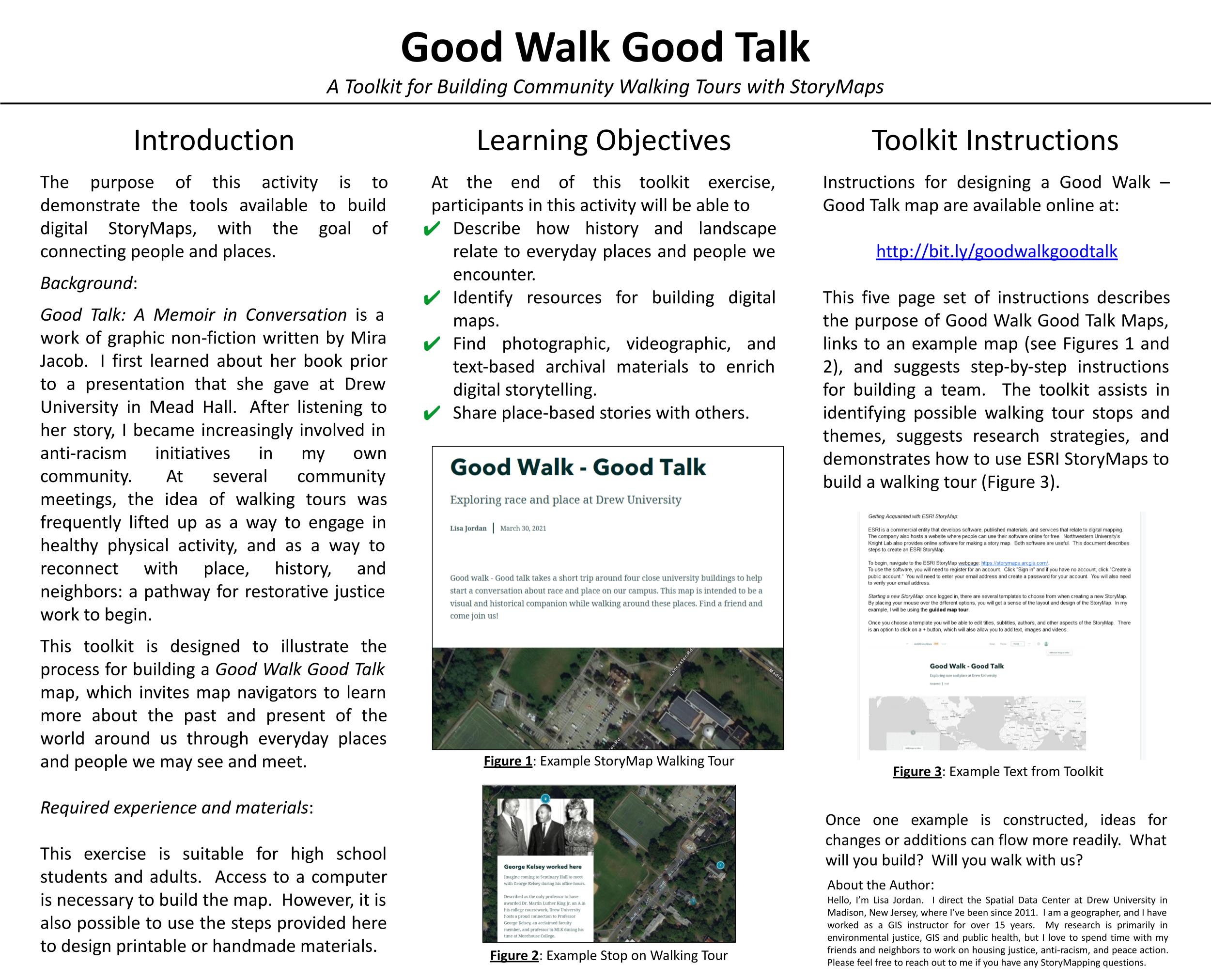
Good Walk Good Talk
|
 |
|
MAP SERIES
or
ATLAS
|
1st
Vincent Viera,
Sean Halpin
County of Hudson |
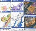
Hudson County Ferry Expansion Study |
 |
|
MOST
UNIQUE
|
1st
Seema Gopinathan
NJDEP
|
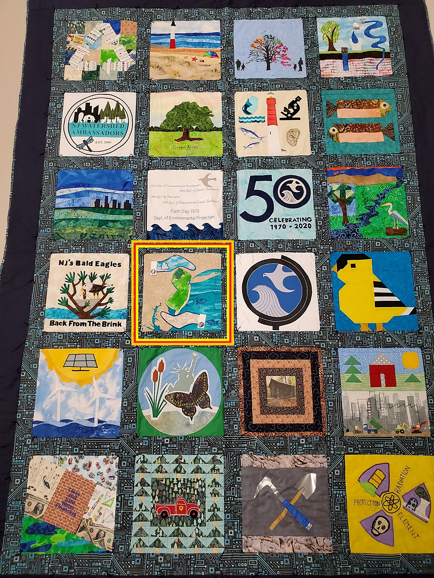
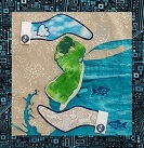
New Jersey’s Environment in Our Hands
Image 1
Image 2
|
|
|
2nd
David DuMont
NJDEP
|
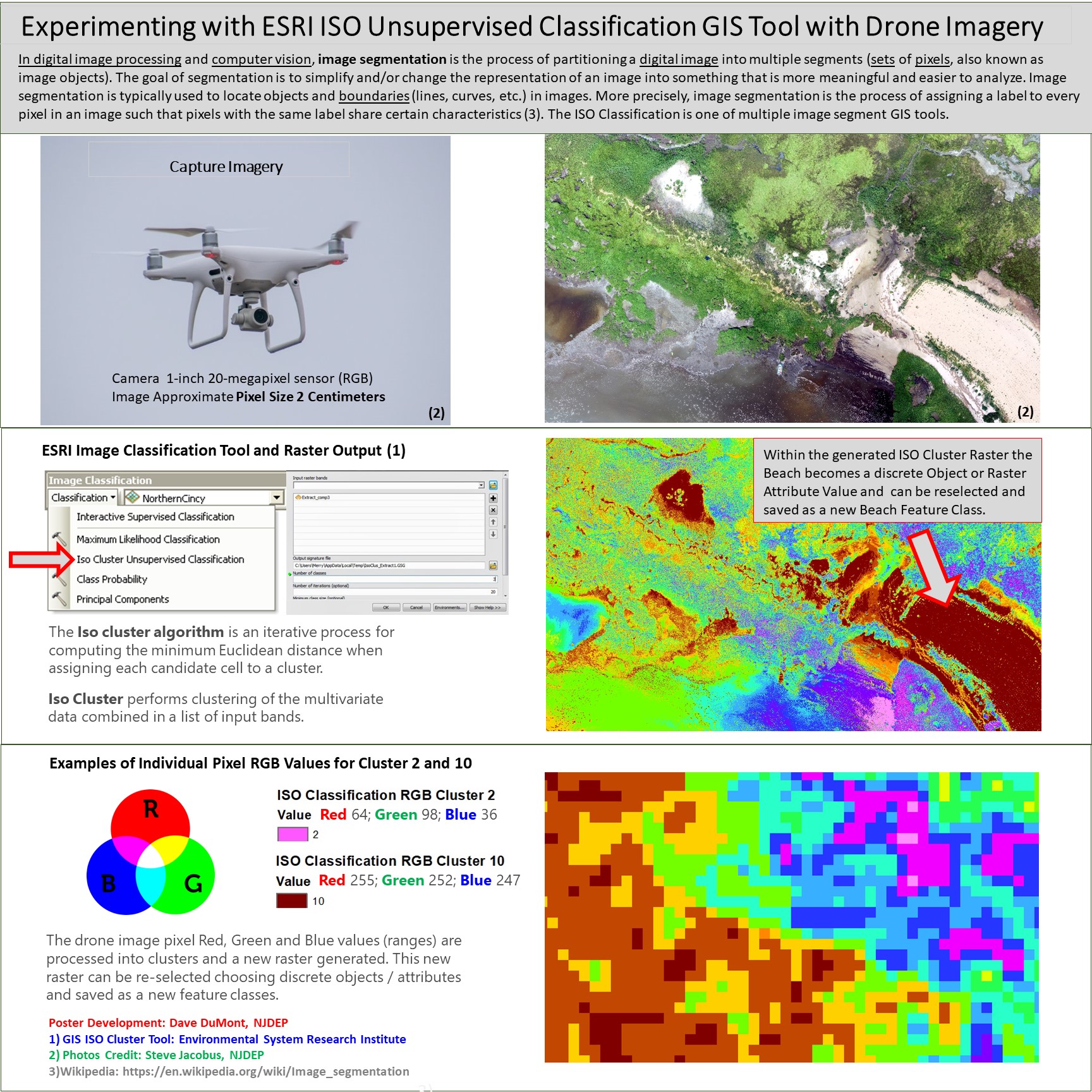
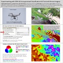
Experimenting with ESRI ISO Unsupervised Classification GIS Tool with Drone Imagery
|
 |
|
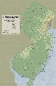
REFERENCE MAP
|
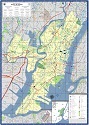
1st
Daryl Krasnuk
Hudson County |
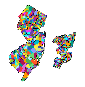
Hudson County Map 2020
|
 |
|
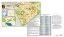
2nd
Bridget Neary
Monmouth County |
Upper Freehold Historic Farmland Byway
Front
Back
|
 |
|
STUDENT MAP
|
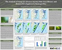
1st
Cassandra Vongrej,
Brigid McMahon
Marine Academy of Technology and Environmental Science (MATES)
|
The Analysis of Seagrass (Zostera marina) Bed Area History and Human Development in Barnegat Bay
|
 |
|
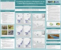
2nd
Emily Baubinas,
Samantha Glover
Marine Academy of Technology and Environmental Science |
Examining the Effects of Wetlands Loss on Coastal Bird Populations in New Jersey
|
 |
|
THEMATIC MAP
|
1st
Michael Davenport
NJDEP
Division of Fish and Wildlife
|
New Jersey Offshore Wind Energy Planning
|
 |
|
2nd
William Smith
NJDEP |
Urban Canyon: An Isoplethic Look at the Average Impervious Surface Across New Jersey
|
 |
|
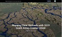
STORY MAP
|
1st
Don Morrison
Former GIS Specialist NJDEP Division of Science and Research
|
Mapping Tidal Wetlands with 2019 South Jersey Coastal LIDAR
|
 |
|
2nd
Bridget Neary
Monmouth County
|
Odie on the Road
|
 |
|
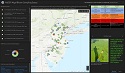
WEB MAP APPLICATION
|
1st
Leigh Lager,
Ed Apalinski,
Dan Oliva,
David Krady
NJDEP |
NJDEP Harmful Algal Bloom Sampling Status Dashboard
|
 |
|
2nd
John Hasse,
Geospatial Lab
Rowan University |
NJ MAP – An Interactive Atlas of New Jersey from Rowan University
|
 |
|
BEST
CARTOGRAPHIC
DESIGN
|
1st
Daryl Krasnuk
Hudson County |
Hudson County Map 2020
|
|
|
2nd
2nd
Bridget Neary
Monmouth County |
Upper Freehold Historic Farmland Byway
Front
Back
|
|