South East Reports
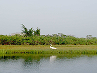
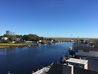
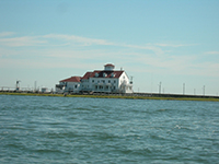
Photo Credit: NJDEP
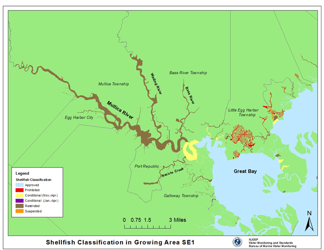
Shellfish Growing Area SE-1:This growing area borders three counties, Ocean County to the north, Burlington County to the northwest, and Atlantic County to the south and is made up of the waters of Great Bay and the Mullica River. There are many tributaries that feed into this growing area, such as Roundabout Creek, Ballanger Creek, Big Graveling Creek, Nacote Creek, Bass River, Wading River, Big and Little Sheepshead Creek, Jimmies Creek, Little Thorofare, Motts Creek and Oyster Creek. This growing area includes 17,994 acres of marine waters. The following municipalities are adjacent to this growing area: Galloway Township, Port Republic City, Egg Harbor City, Mullica Township, Bass River Township and Little Egg Harbor Township.
Status: Currently, 72.9% of this growing area is Approved for shellfish harvest year-round, 3.6% is classified as Conditionally Approved (Nov.); open for shellfish harvest November through April, 0.1% is classified as Conditionally Approved (Jan.); open for shellfish harvest January through April, 21.0% is classified as Restricted; no harvesting for direct market is allowed in Restricted waters and in 2.3% of this growing area shellfish harvest is Prohibited.
Most recent Reappraisal Report
Most recent Sanitary Survey Report
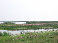
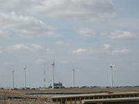
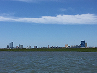
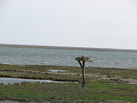
Photo Credit: NJDEP
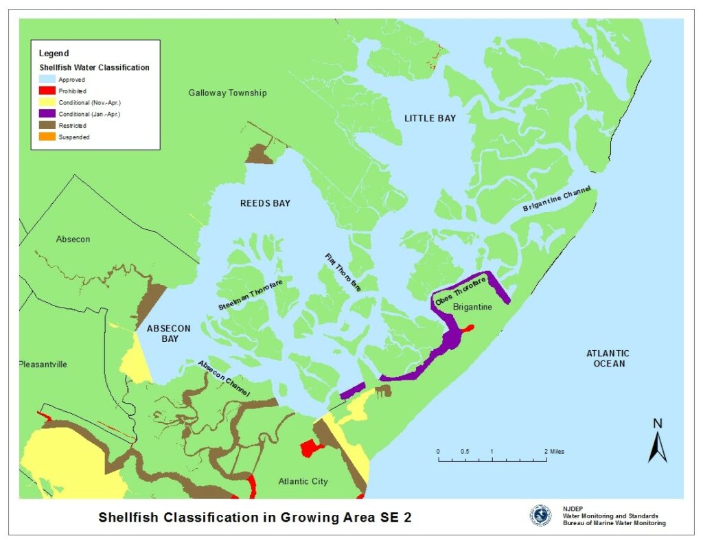
Shellfish Growing Area SE-2: This shellfish growing area is located in Atlantic County and includes the waters of Absecon Bay, Reeds Bay, Little Bay and Grassy Bay. There are some thorofares and channels located in this area such as Absecon Channel, Brigantine Channel, Beach Thorofare, Bonita Tideway and St. George Thorofare. This growing area includes 14,348 acres of marine water. This growing area is bordered by the following municipalities: Atlantic City, Brigantine City, Galloway Township, Absecon City and Pleasantville.
Status: Currently, 86.1% of this growing area is Approved for shellfish harvest year-round, 3.5% is classified as Conditionally Approved (Nov.); open for shellfish harvest November through April, 2.0% is classified as Conditionally Approved (Jan.); open for shellfish harvest January through April, 6.7% is classified as Restricted; no harvesting for direct market is allowed in Restricted waters, in 0.6% of this growing area shellfish harvest is Prohibited and shellfish harvest has been Suspended in 1.0% of this growing area.
Most recent Reappraisal Report
Most recent Sanitary Survey Report
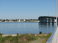
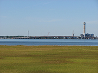
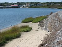
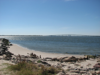
Photo Credit: NJDEP
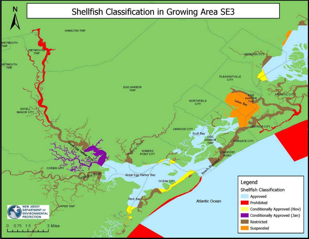
Shellfish Growing Area SE3 is located in southern New Jersey’s Atlantic Coastal Plain, encompassing sections of Atlantic and Cape May Counties and includes the waters of Lakes Bay, Shelter Island Bay, Scull Bay, Great Egg Harbor Bay and Peck Bay. Several large fresh water tributaries flow into the Great Egg Harbor Bay such as the Great Egg Harbor River, Patcong Creek and Tuckahoe River. This growing area includes 15,120 acres of marine waters. The following municipalities are adjacent to this growing area: Pleasantville, Northfield, Linwood, Somers Point, Egg Harbor Township, Upper Township, Ocean City, Longport, Margate, Corbin City, Estelle Manor, Weymouth Township, Ventnor and Atlantic City.
Status: Currently, 46.7% of this growing area is Approved for shellfish harvest year-round, 3.7% is classified as Conditionally Approved (Nov.); open for shellfish harvest November through April, 5.2% is classified as Conditionally Approved (Jan.); open for shellfish harvest January through April, 24.5% is classified as Restricted; no harvesting for direct market is allowed in Restricted waters, in 7.7% of this growing area shellfish harvest is Prohibited and shellfish harvest has been Suspended in 12.2% of this growing area.
Most recent Reappraisal Report
Most recent Sanitary Survey Report
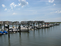
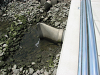
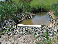
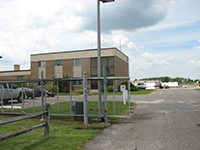
Photo Credit: NJDEP
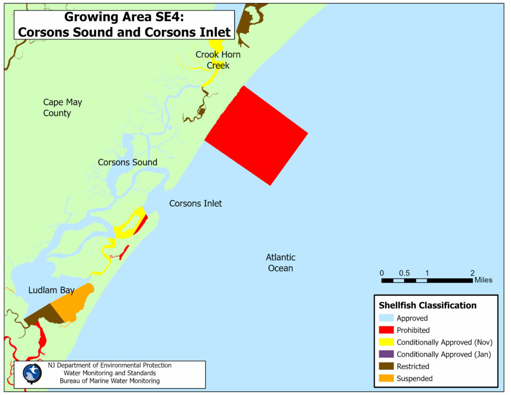
Shellfish Growing Area SE4: Corsons Sound and Corsons Inlet is located south of Ocean City and north of Sea Isle City in the southeastern part of New Jersey, Cape May County. Upper Township is located to the west and northwest, Dennis Township is located to the southwest, Strathmere is located to the southeast and Ocean City is located to the east and northeast of this shellfish growing area. The principal bodies of water in this area are Peck Bay, Crook Horn Creek, Corsons Sound, and Corsons Inlet. This area also includes Upland Thorofare, Beach Creek, Edward Creek, Devils Thorofare, Weakfish Creek, Middle Thorofare, Strathmere Bay, Ben Hands Thorofare, Mill Creek, Marshalls Creek, Main Channel, Flat Creek, Burroughs Hole, Main Thorofare, Whale Creek, and Run Creek. The approximate size of this shellfish growing area is 1,407.8 acres of shellfish growing waters.
Status: Currently, the shellfish classification of this growing area is Approved, Conditionally Approved (November to April), Restricted and Prohibited. There are approximately 1,091.0 acres of Approved waters (77.0%), 243.1 acres of Conditionally Approved (November to April) waters (17.0%), 38.7 acres of Restricted waters (3.0%), and 35.0 acres of Prohibited waters (2.0%) in this shellfish growing area.
Most recent Reappraisal Report
Most recent Sanitary Survey Report
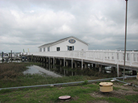
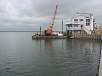
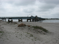
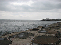
Photo Credit: NJDEP
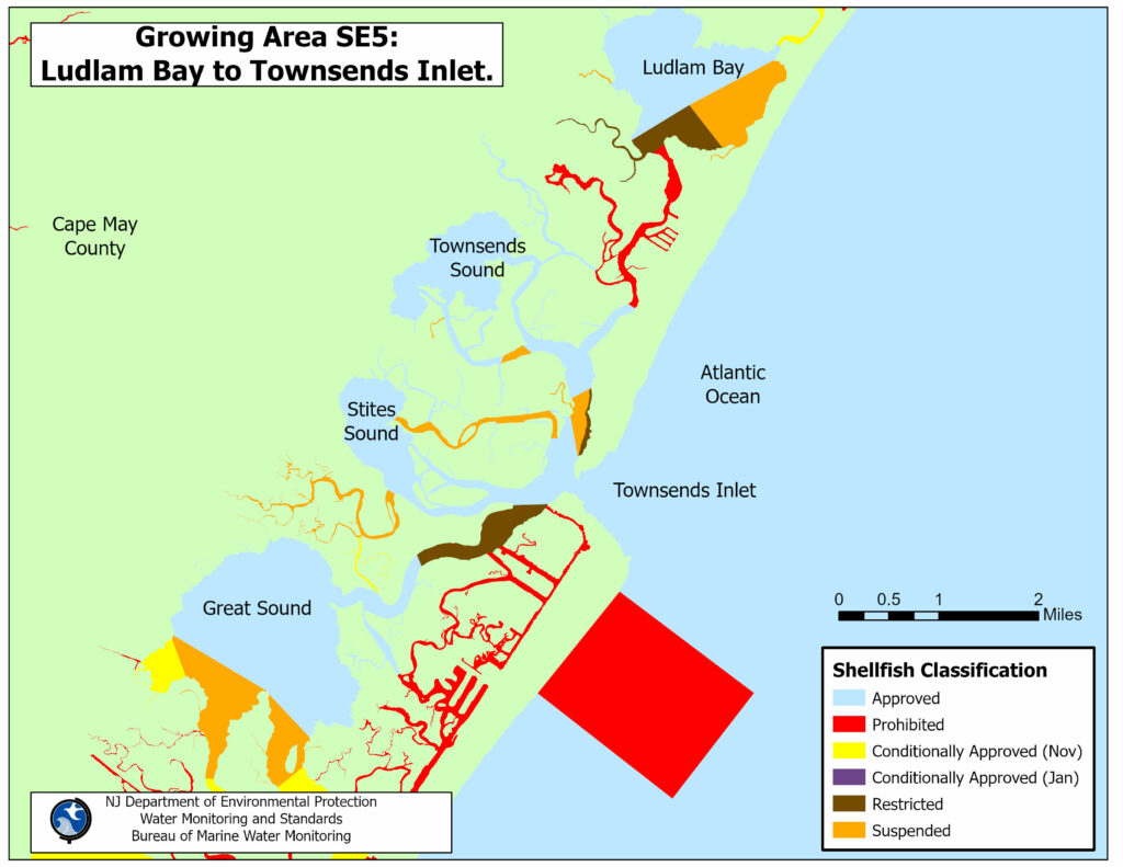
Shellfish Growing Area SE-5: Ludlam Bay to Townsends Inlet, is located in the southern part of New Jersey, northwest of the city of Avalon and southwest of Strathmere, in Cape May County. The shellfish waters in this growing area are bordered to the north by Upper Township, to the east by Sea Isle City and Avalon, and to the west by Dennis Township and Middle Township. This area includes the shellfish growing waters from Ludlam Bay in the north, to the north of Great Sound in the south. Great Sound is not included in this shellfish growing area. The principal bodies of water in this area are Ludlam Bay, Townsends Sound, Stites Sound, and Townsends Inlet. This area also includes Devauls Creek, Maple Swamp, Big Elder Creek, Little Elder Creek, Swimming Creek, Ludlam Thorofare, Sunks Creek, Mill Creek, Scraggy Creek, Ware Thorofare, Mill Thorofare, Townsend Channel, Clem Thorofare, Granny Creek, Mud Thorofare, Jonadab Creek, Uncle Aarons Creek, Kitts Thorofare, Bottle Creek, Middle Thorofare, North Channel, South Channel, Leonard Thorofare, Ingram Thorofare, Gravens Thorofare, Cornell Harbor, Pennsylvania Harbor, Princeton Harbor, S Creek, Deep Creek, Rachael Gut, Salt Creek, Cat Run, Deep Thorofare, and Paddy Thorofare. The approximate size of this shellfish growing area is 3,711.5 acres of shellfish growing waters.
Status: Currently, the shellfish classification of this growing area is Approved, Conditionally Approved (November to April), Restricted, Prohibited and Suspended. There are approximately 2,391.2 acres of Approved waters (64%), 12.6 acres of Conditionally Approved (November to April) waters (<1%), 325.0 acres of Restricted waters (9.0%), 494.2 acres of Prohibited waters (13%) and 487.5 acres of Suspended waters (13%) in this shellfish growing area.
Most recent Reappraisal Report
Most recent Sanitary Survey Report
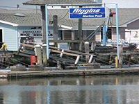
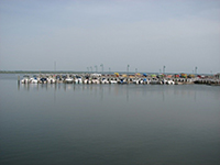
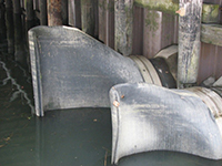
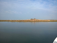
Photo Credit: NJDEP
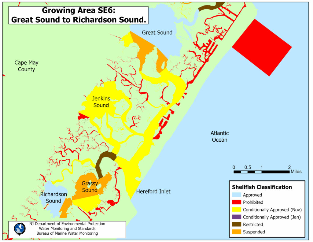
Shellfish Growing Area SE-6 (Great Sound to Richardson Sound) is located in the southeastern part of New Jersey; southwest of the city of Avalon and northwest of the city of Wildwood in Cape May County. The waters of this shellfish growing area are bordered to the north by Avalon Boulevard (Route 601), to the west by the Garden State Parkway in Middle Township, to the south by Wildwood Boulevard (Route 47), and to the east by the municipalities of Avalon, Stone Harbor, North Wildwood, West Wildwood, and Wildwood. The principal bodies of water in this area are Great Sound, Jenkins Sound, Grassy Sound, Richardson Sound, and the Hereford Inlet. This area also includes Gull Island Thorofare, Cresse Thorofare, Scotch Bonnet Creek, Nicols Channel, Dung Thorofare, Drum Thorofare, Jenkins Channel, Great Channel, Grassy Sound Channel, Old Turtle Thorofare, and Taugh Creek. The approximate size of this shellfish growing area is 7,128.2 acres of shellfish growing waters.
Status: Currently, the shellfish classification for this growing area is Approved, Conditionally Approved (November-April), Conditionally Approved (January-April), Restricted, Prohibited and Suspended for shellfish harvesting. There are approximately 1,911.2 acres of Approved waters (27%), 3,115.5 acres of Conditionally Approved (November-April) waters (44%), 154.5 acres of Restricted waters (2%), 874.3 acres of Prohibited waters (12%) and 1,072.4 acres of Suspended waters (15%) in this shellfish growing area.
Most recent Reappraisal Report
Most recent Sanitary Survey Report
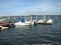
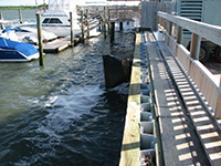
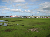
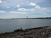
Photo Credit: NJDEP
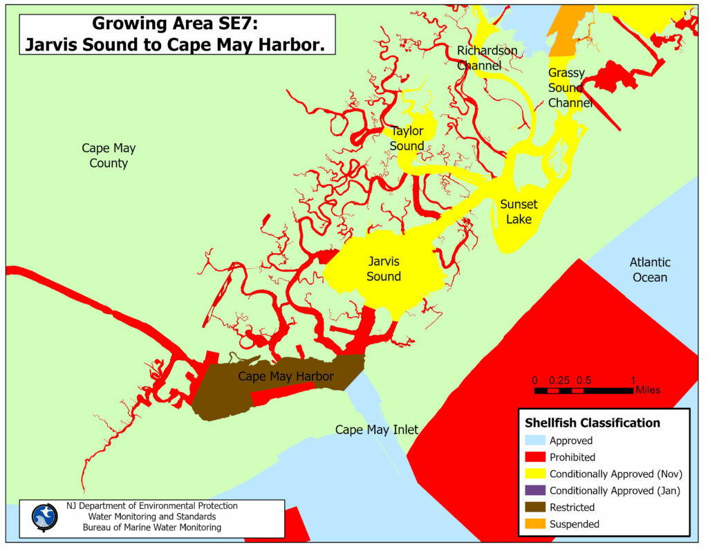
Shellfish Growing Area SE7 (Jarvis Sound to Cape May Harbor) is located in the southern part of New Jersey, north of the city of Cape May and southwest of the city of Wildwood, in Cape May County. The shellfish waters in this growing area are bordered to the north by Middle Township, to the east by Wildwood, Wildwood Crest, and Lower Township, to the west by Lower Township, and to the south by Lower Township and Cape May. The principal bodies of water in this area are Taylor Sound, Sunset Lake, Jarvis Sound, the Cape May Canal, the Cape May Harbor, and the Cape May Inlet. This area also includes Richardson Channel, Grassy Sound Channel, Shaw Cutoff, Sedge Creek, Stites Creek, Stingaree Creek, Swain Channel, Taylor Creek, Terrapin Thorofare, Jones Creek, Old Turtle Creek, Jarvis Sound Thorofare, Reubens Thorofare, Punyard Creek, Haulover Creek, York Creek, Meadow Creek, Shell Thorofare, Upper Thorofare, Bennett Creek, Mill Creek, Skunk Sound, Ford Creek, Middle Thorofare, Duck Gut, Mud Hen Gut, Lower Thorofare, Old Lower Thorofare, Schellenger Creek, Spicer Creek, and Cape Island Creek. The approximate size of this shellfish growing area is about 2,434.6 acres of shellfish growing waters.
Status: Currently, the shellfish classification for this growing area is Conditionally Approved (January to April), Restricted, and Prohibited for shellfish harvesting. There are approximately 623.7 acres of Conditionally Approved (January to April) waters (24.8%), 809.8 acres of Restricted waters (33%) and 1,001.0 acres of Prohibited waters (41%) in this shellfish growing area.
Most recent Reappraisal Report
Most recent Sanitary Survey Report
