DGS15-2 Soil, Liquefaction, and Landslide Susceptibility in New Jersey
Abstract
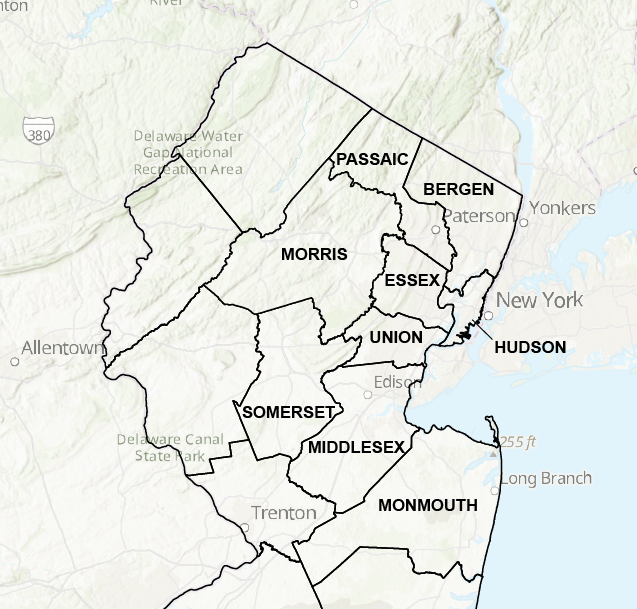
These data layers show the susceptibility of natural soils to lose strength and act as liquids when shaken, the susceptibility of slopes to landsliding, and the susceptibility of soils to shaking during earthquakes . The liquefaction classification categories are from the HAZUS User’s Manual, table 9.1 (National Institute of Building Sciences, 1997). Susceptibility was mapped based on grain-size, compaction, and degree of saturation of soils as determined from published and unpublished geologic-map and well-log data on file at the N.J. Geological and Water Survey. Man-made fill overlies these soils (particularly those in category 4) in some areas. While most fill has a low liquefaction susceptibility, uncompact sand and silt fills may liquefy. The behavior of fill during seismic shaking should be assessed on a site-specific basis. Soil classes were mapped using Standard Penetration Test data, shear-wave velocity measurements, and geologic map data, following the procedures described in sections 4.1.2.1, 4.1.2.2, and 4.1.2.3 of the NEHRP Provisions (Federal Emergency Management Agency, 1998). Equation 4.1.2.3-2 was used to assign soil classes in layered cases. The slope of landslide classification categories are from the HAZUS User’s Manual, table 9.2 (National Institute of Building Sciences, 1997). Classes are based on the angle of the slope, the type of geologic material forming the slope, and groundwater level. Slope angles were measured from U.S. Geological Survey 7.5-minute topographic quadrangles with 10- or 20-foot contour interval. Geologic materials were determined from published and unpublished geologic-map and well-log data on file at the N.J. Geological and Water Survey. Refer to the county-by-county reports for complete data and references.
Download digital datasets for the counties all at once here.
Download the compressed (zip) files containing ESRI shape files and metadata for each of the following counties a la carte: