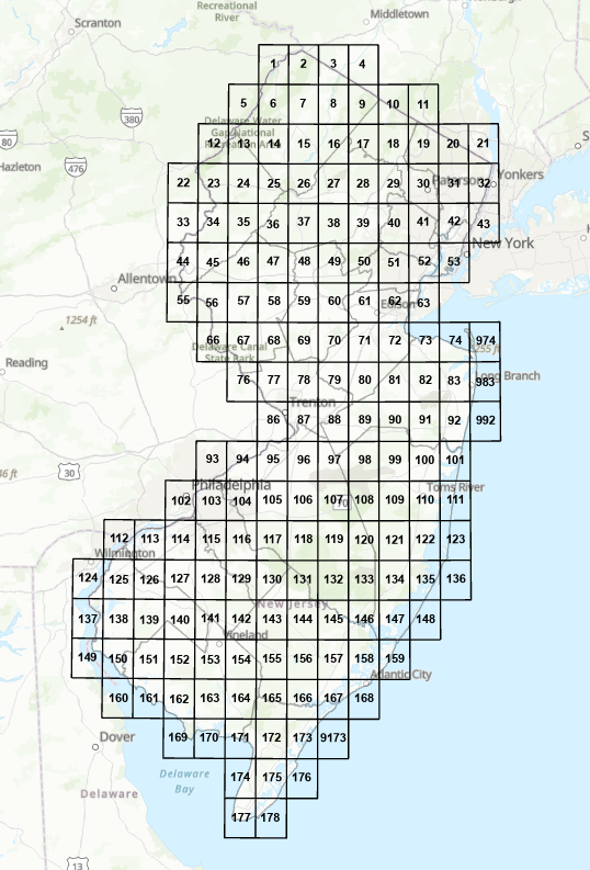
DGS15-1 Bedrock Geology of New Jersey
(Scale 1:24,000)
Updated (4/24/2018)
Abstract
Solid rock or Coastal Plain Formations present beneath any soil, surficial deposit or other surface cover. In some locations it may be exposed at the surface. These deposits are mapped at 1:24,000 scale using U. S. Geological Survey 7.5-minute topographic quadrangles as base maps.
The GIS data sets depict the areal extent of the bedrock materials, bedrock contacts, faults and folds in the quadangle. The data are from various Geologic Map Series (GMS) and Open-File Maps (OFM) at 1:24,000 scale. Additional data may be available by contacting the New Jersey Geological and Water Survey. This may include: well and boring logs, bedrock-surface contours, geophysical data, cross sections, discussion of geologic history and hydrologic and engineering properties of the bedrock materials, age and correlation of the bedrock materials, lithologic data, and detailed unit descriptions.
Download digital datasets for quadrangles all at once here.
Download digital data sets for quadrangles a la carte below: