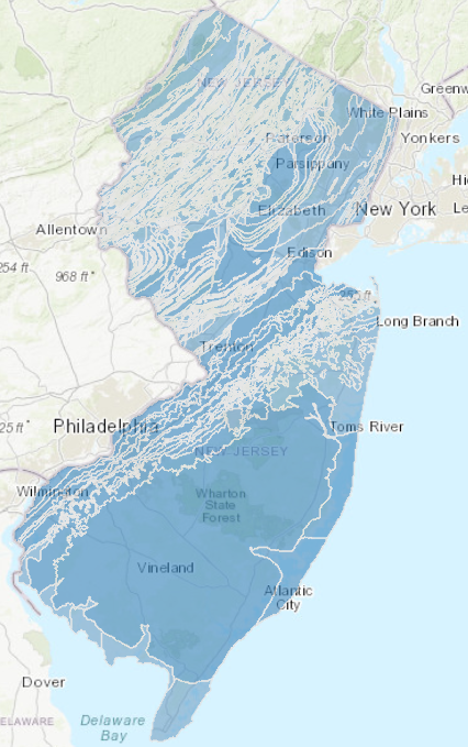
DGS04-6 Bedrock Geology of New Jersey (Scale 1:100,000)
Abstract
The series is intended to provide the public with basic geoscience information for use in geoscience, natural resource and environmental analyses. The geologic themes include geologic units, their descriptions, structural features (faults, folds and dikes).
The Bedrock Geology of New Jersey consists of statewide and countywide data layers (contacts, faults, folds, dikes). The data are provided in: ESRI’s ARC/INFO Geographic Information Systems (GIS). The GIS data were scanned and digitized from United States Geological Survey Miscellaneous Investigations and Open-File Series 1:100,000 scale geologic maps compiled from 1984 to 1993.
Download the compressed (zip) files containing ESRI shape files and metadata for each of the following: