DGS02-4 Additional Climate Factors for the New Jersey Geological Survey’s Ground-Water Recharge Methodology
Abstract
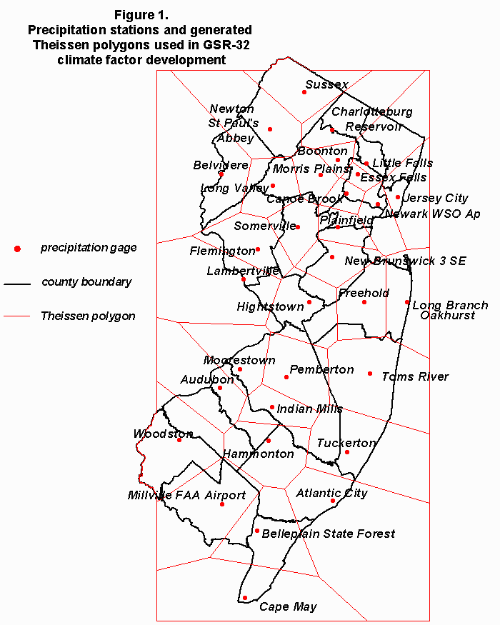
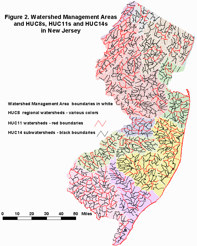
DGS02-4 is an Excel workbook that lists climate factors designed to be used in conjunction with the New Jersey Geological Survey’s ground-water recharge methodology (Charles and others, 1993). As originally published, climate factors were available by municipality. This publication supplies additional climate factors for watershed management areas as well as HUC8, HUC11 and HUC14 watersheds. The original GSR-32 approach (Charles and others, 1993) calculated climate factors at 32 locations (fig.1). Each station’s climate factor was assumed to be relevant throughout the Theissen polygon centered on that station. Any municipality entirely within a polygon was assigned that polygon’s climate factor. Municipalities which were split between two or more polygons were assigned an area-weighted average climate factor. This procedure was repeated here to yield climate factors for watershed management areas, HUC8, HUC11, and HUC14 watersheds (fig. 2). These additional climate factors are listed in this publication in separate worksheets. The new climate factors are not an increase in preciseness in the estimation of climate factors. Rather, this approach yields estimated climate factors for different geographical units.
An Excel workbook which implements the GSR-32 methodology for municipality and HUC14 geographic units is available as the NJGS Digital Geodata Series DGS99-2 (Hoffman, 1999)
References
Charles, E.G., Behroozi, Cyrus, Schooley, Jack, and Hoffman, J.L., 1993, A method for evaluating ground-water-recharge areas in New Jersey: N.J. Geological Survey Report GSR-32, 95 p.
Hoffman, J.L, 1999, MS Excel Workbook Implementing the NJGS Ground-Water-Recharge Methodology: N.J. Geological Survey Digital Geodata Series 99-2, computer spreadsheet.

