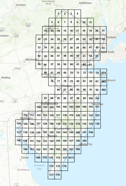
DGS10-2 Surficial Geology of New Jersey
(Scale 1:24,000)
Updated (12/4/2018)
Abstract
Surficial geologic materials are unconsolidated sediments that overlie bedrock and Coastal Plain formations, and that are the parent material for agronomic soils. In New Jersey, they include glacial, river, marine, windblown, wetland, and hillslope deposits and weathered-rock material. These materials are distinguished and mapped based on their grain size, mineral composition, bedding, physical properties, and landscape position. They are as much as 400 feet thick but are less than 30 feet thick over most of the state. Glacial deposits and weathered-rock material occur in the northern half of the state, marine deposits occur in the coastal areas of southern and central New Jersey, the other deposits occur statewide. These deposits are mapped at 1:24,000 scale using U. S. Geological Survey 7.5-minute topographic quadrangles as base maps.
This GIS data sets depict the surface extent of the surficial materials in the quadrangles. Note that additional surficial materials may occur beneath the surface deposit, particularly in glaciated areas of northern New Jersey and coastal areas of southern New Jersey. The data are from various Geologic Map Series and Open-File Maps at 1:24,000 scale. Additional data may be available by contacting the New Jersey Geological Survey. This may include: well and boring logs, bedrock-surface contours, geophysical data, cross sections, discussion of geologic history and hydrologic and engineering properties of the surficial materials, age and correlation of the surficial materials, lithologic data, glacial and landform features, and detailed unit descriptions.
Download digital datasets for quadrangles all at once here.
Download digital data sets for quadrangles a la carte below: