DGS07-2 Surficial Geology of New Jersey (Scale 1:100,000)
Updated (10/03/2013)
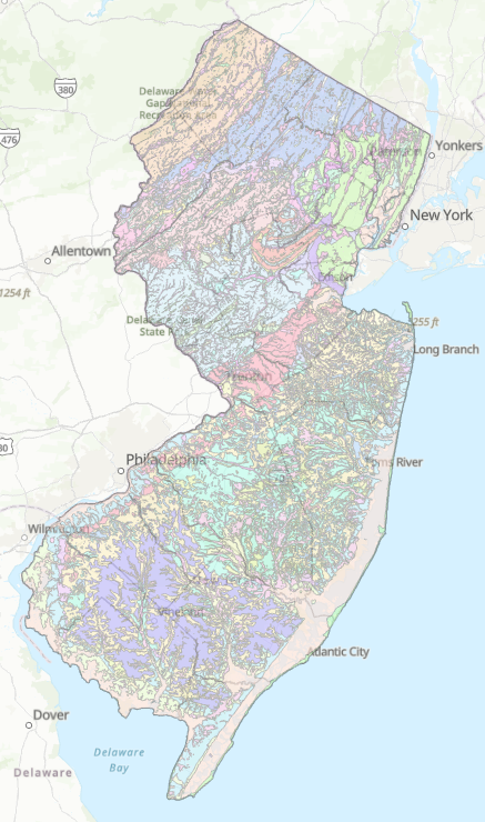
Abstract
This data series depicts the extent of surficial geologic materials across the State of New Jersey. It contains information for assessing and protecting aquifers, assessing water quality, and providing a framework for evaluating hazards and resources. It was prepared in cooperation with the U. S. Geological Survey (USGS) National Geologic Mapping Program.
The Surficial Geology of New Jersey consists of statewide data layers (surficial geology contacts and units, bedrock-surface topography, bedrock outcrops and cross-sections). The data are provided in ESRI’s Geographic Information Systems (GIS) shapefiles. The GIS data were generated from United States Geological Survey Miscellaneous Investigations I-2540-C and I-2540-D and other geologic maps. The Cross-sections zip file includes shapefiles as well as Adobe™ PDF document for each cross-section.
Download the compressed (zip) files containing ESRI shape files and metadata for each of the following: