|
Category
|
Winner
|
Map Title
|
Thumbnail
|
|
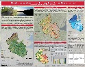
BEST
ANALYTICAL
PRESENTATION
|
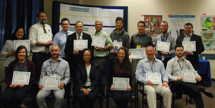
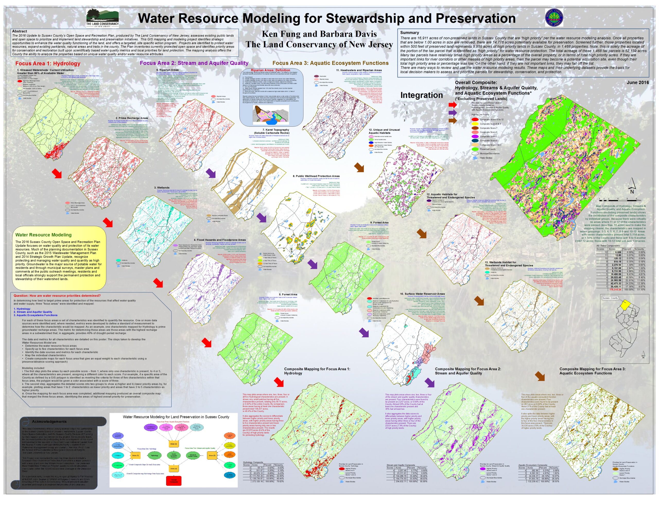
1st
Ken Fung
Barbara Davis
The Land Conservancy of New Jersey
|
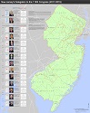
Water Resource Modeling for Stewardship and Preservation
|
|
|
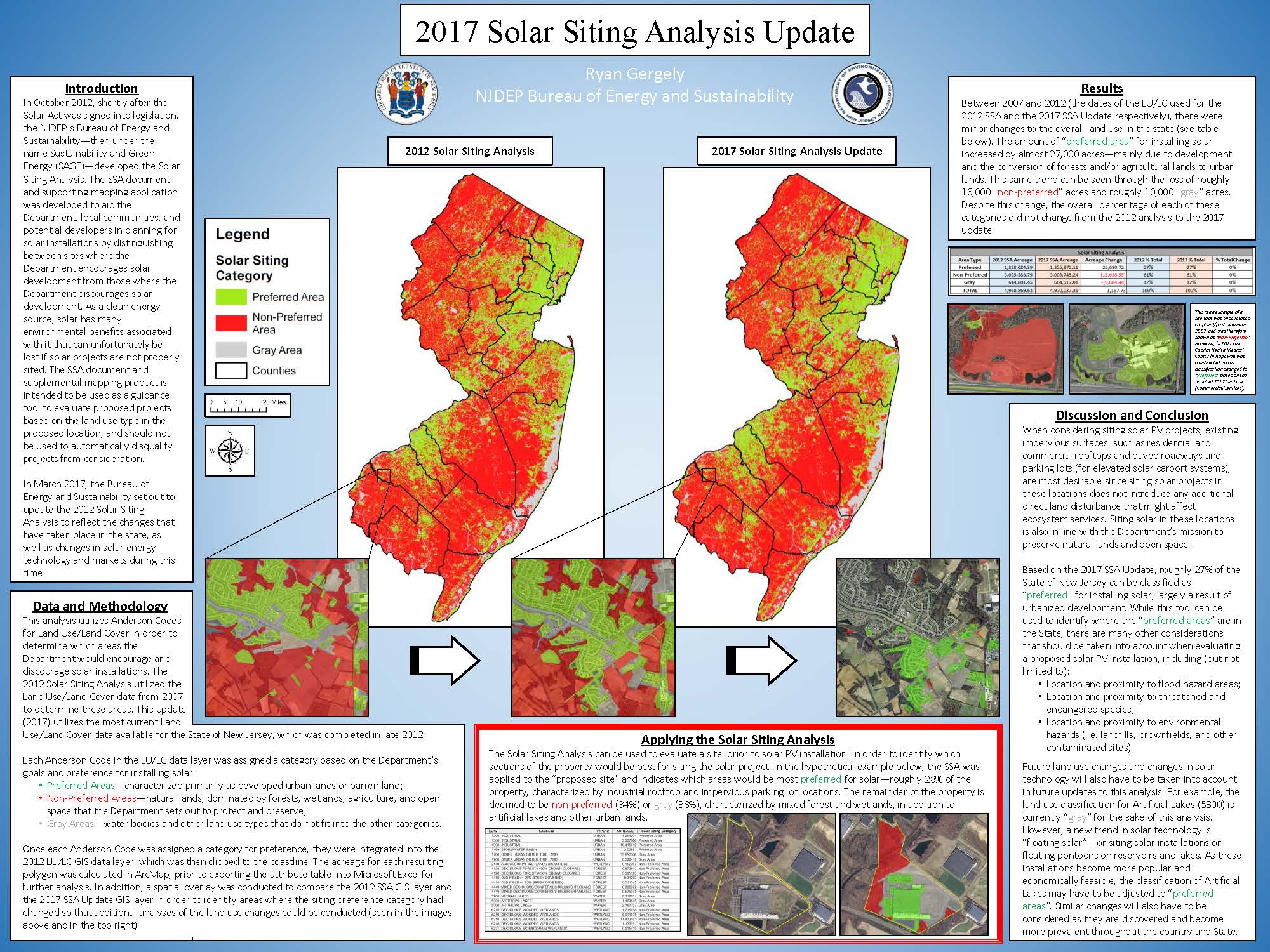
2nd
Ryan Gergely
NJDEP
Bureau of Energy and Sustainability
|
2017 Solar Siting Analysis Update
|
 |
|
BEST
DATA
INTEGRATION
|
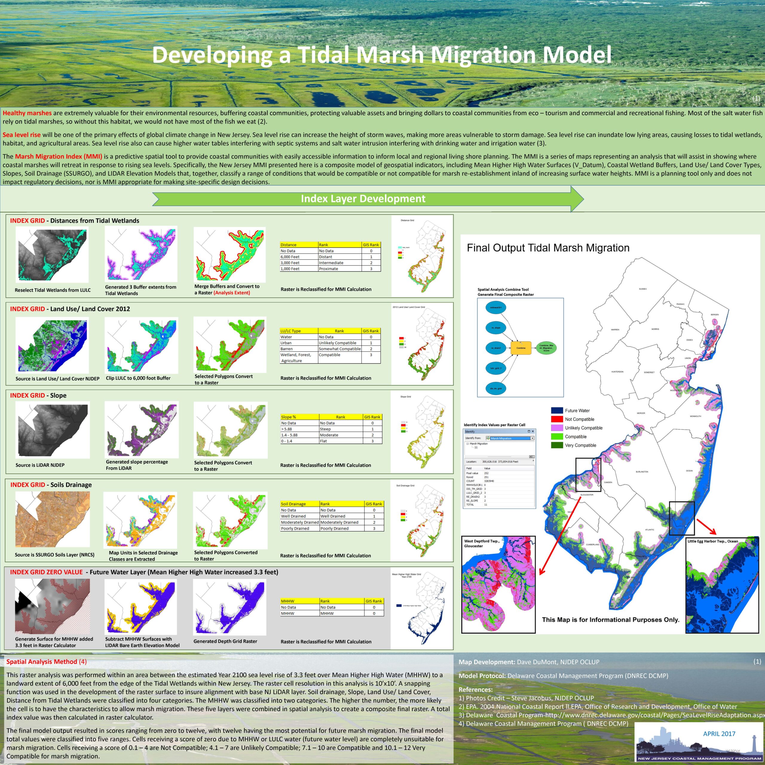
1st
David DuMont
NJDEP
|
Developing a Tidal Marsh Migration Model
|
|
|
2nd
Daryl Krasnuk
Rutgers University
|
Urbanization and Ground Water Recharge in the Raritan River Watershed
|
 |
|
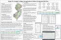
BEST INSTRUCTIONAL
PRESENTATION
|
1st
William Smith
NJDEP DOIT
Bureau of GIS
|
How to Create a Data Visualization Video Using ArcGIS Pro
|
 |
|
2nd
Ed Apalinski
NJDEP DOIT
Bureau of GIS
|
NJDEP Radiological Communications and Assessment Portal (RadCAP)
|
 |
|
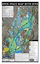
BEST
SMALL
FORMAT
|
1st
Brian Wlodawski
Michael Stepowyj
Jeffrey Zielinski
Fawzia Shapiro
Meadowlands Environmental Research Institute (MERI) & New Jersey Sports and Exposition Authority |
Open Space Map With SFHA
|
 |
|
2nd
Kevin Burkman
NJDEP DOIT
Bureau of GIS |
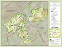
Sourland Ridge Preserves
|
 |
|
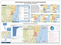
BEST
SOFTWARE
INTEGRATION
|
1st
Kinney Clark
Justyna Csolak
Anne Chidley
NJDEP
Historic Preservation Office
|
Enhancing Architectural Survey: A Home/Brew Street View Mash-Up in Coastal Cumberland County
|
 |
|
2nd
Chuck Colvard
NJ Dept. of Human Services |
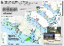
New Jersey’s Delegation to the 115th Congress (2017-2019)
|
 |
|
BEST
STORY MAP
|
1st
Ann-Marie Falkowski
NJDEP/DOIT
Bureau of GIS
|
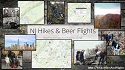
NJ Hikes and Beer Flights
|
 |
|
2nd
Lisa Jordan
Drew University |
Identifying Cultural and Natural Resources along the Pilgrim Pipeline Corridor
|
 |
|
BEST
CARTOGRAPHIC
DESIGN
|
1st
Daryl Krasnuk
Rutgers University |
Urbanization and Ground Water Recharge in the Raritan River Watershed
|
|
|
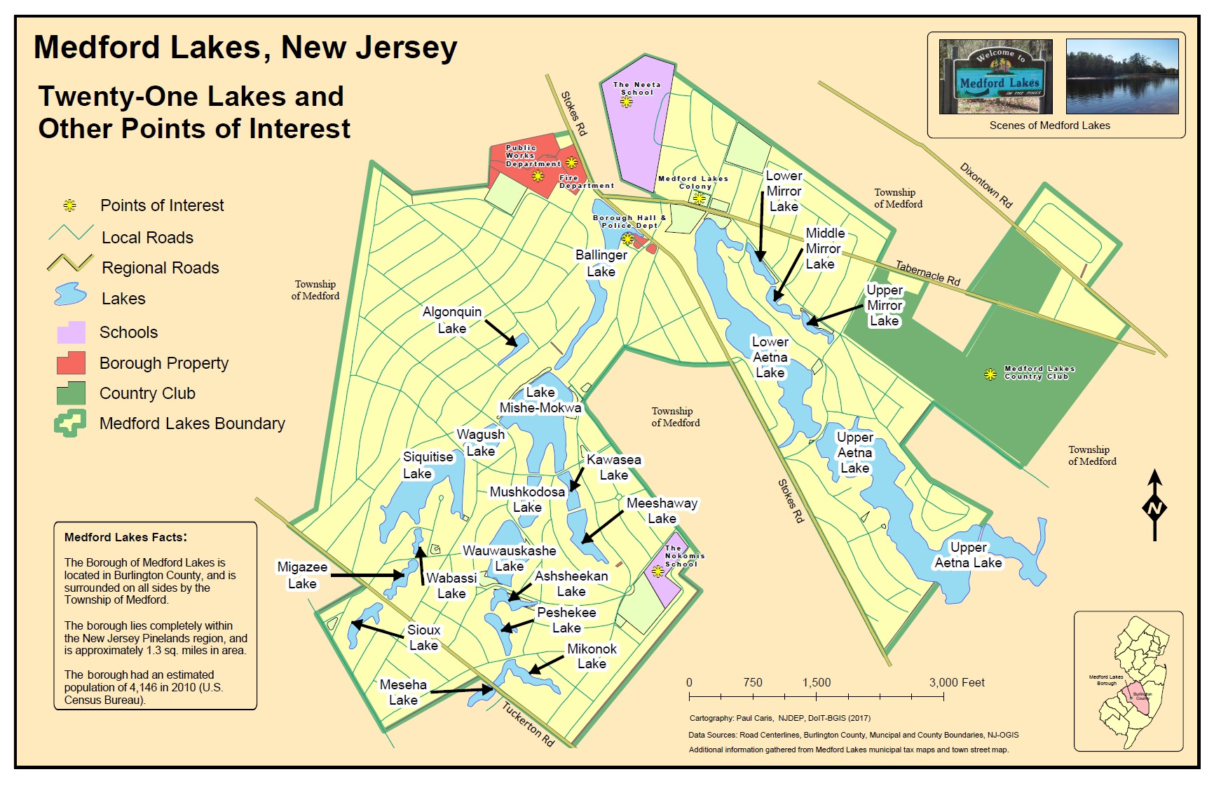
2nd
Paul Caris
NJDEP/DOIT
Bureau of GIS
|
Medford Lakes, NJ: Twenty-One Lakes and Other Points of Interest
|
 |