FEMA Model Deed Restriction (2012)

Last modified on June 24th, 2025 at 10:49 am

The FEMA Model Deed Restriction outlines specific restrictions that apply to properties acquired with federal mitigation funds, including Blue Acres buyout properties, to ensure they are used in ways that reduce flood risks and preserve natural floodplain functions. Here’s a summary of the key points:

Purpose

The deed restriction ensures that properties acquired with federal funds for flood mitigation are maintained as open space in perpetuity. This helps reduce flood damage and preserve natural floodplain functions.

Key Provisions

  1. Compatible Uses:
    • The property must be used for open space purposes such as parks, nature reserves, wetlands management, and other similar uses.
    • No new structures can be built on the property, except for certain public facilities that are open on all sides, public restrooms, or structures that support open space use and are approved by FEMA.
  2. Structures:
    • Any allowed structures must be floodproofed or elevated to at least one foot above the base flood level.
    • Improvements must comply with proper floodplain management practices.
  3. Disaster Assistance and Flood Insurance:
    • The property is not eligible for federal disaster assistance or flood insurance coverage for any new structures built after the property is acquired.
  4. Transfer of Property:
    • The property can only be transferred to public entities or qualified conservation organizations with FEMA’s prior approval.
    • Any transfer must include the original deed restrictions to ensure continued compliance.
  5. Inspection and Monitoring:
    • FEMA and its representatives have the right to inspect the property to ensure compliance.
    • The grantee must submit a report every three years certifying that the property is being maintained according to the deed restrictions.
  6. Enforcement:
    • If the property is not maintained according to the deed restrictions, FEMA and the state have the authority to enforce compliance, which may include legal action or requiring the transfer of the property title.
  7. Amendment and Severability:
    • The deed restriction can only be amended with the approval of FEMA, the state, and the grantee.
    • If any part of the deed restriction is found to be invalid, the rest of the provisions remain in effect.
Watson Crampton Neighborhood Plan Township of Woodbridge (2015)

Last modified on June 24th, 2025 at 11:18 am

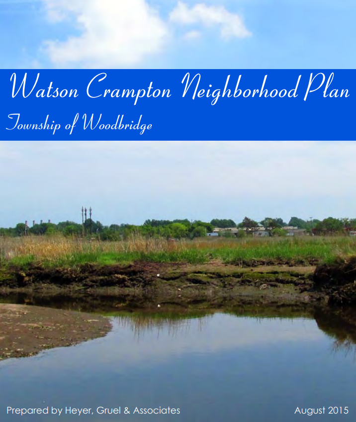
The Watson Crampton Neighborhood Plan is a successful example of proactive resilience planning, with tangible results visible in the neighborhood today. In October 2012, Superstorm Sandy caused significant damage to many communities in New Jersey, including the Watson Crampton neighborhood in Woodbridge Township. In response, Woodbridge Township developed the Watson Crampton Neighborhood Plan to help residents affected by the storm.

Purpose of the Plan

The Watson Crampton Neighborhood Plan serves as a guide for future planning projects within the neighborhood. It aims to identify issues and opportunities, and recommend strategies to enhance resiliency against future flood events.

Key Components of the Plan

  • Blue Acres Program: Discussion of the program and identification of properties in Watson Crampton that have utilized it.
  • Neighborhood Characteristics: Analysis of the neighborhood’s vulnerabilities and opportunities.
  • Strategic Recommendations: Strategies to preserve and reinforce the neighborhood’s residential characteristics while ensuring residents’ health, safety, and welfare.
  • Concept Plan: A proposed plan implementing several recommendations.

Background and Support

The plan was prepared under the Post Sandy Planning Assistance Grant Program, administered by the New Jersey Department of Community Affairs. This program supports long-term planning for redevelopment in communities affected by Superstorm Sandy, providing local municipalities with planning support services.

Blue Acres Program Participation

Woodbridge Township is participating in the NJDEP Blue Acres Program, which targets the buyout of flood-prone structures and the preservation of the floodplain. The buyout process began in 2014 and is ongoing.

Open Space/Conservation Zone

The plan includes the creation of an Open Space/Conservation (OSC) zone to protect the residential neighborhood from future floods. This zone consists of recreation areas and open space, allowing much of the area to return to its natural state. The open space will act as a buffer between the Woodbridge River and residential properties, helping to mitigate flood effects.

Trail path in the Watson Crampton Neighborhood in 2024

Floodplain Buyouts: How to Maximize Community Benefits, Habitat Connectivity, and Resilience (2017)

Last modified on June 24th, 2025 at 2:09 pm

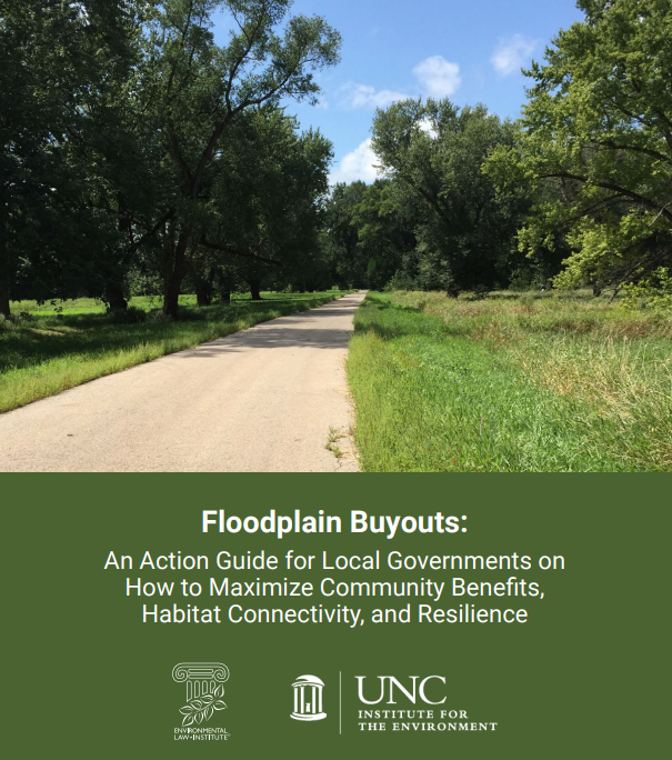
“Floodplain Buyouts: An Action Guide for Local Governments on How to Maximize Community Benefits, Habitat Connectivity, and Resilience” is a resource produced by the University of North Carolina-Chapel Hill’s Institute for the Environment and the Environmental Law Institute. This Action Guide is valuable for local governments looking to maximize the benefits of floodplain buyout programs.

The guide aims to provide a framework for thinking through various management options for floodplain acquisition programs. It helps readers understand the acquisition process, the benefits of managing floodplain acquisitions to improve habitats, and how to plan and address challenges effectively.

Key Sections of the Guide

  1. Acquiring Property in the Floodplain: Buyout Programs:
    • Explains how FEMA’s Hazard Mitigation Grant Program (HMGP) supports voluntary property acquisitions, or floodplain buyouts.
    • Introduces the concept of leveraging multiple (non-federal) funding sources for different parts of the acquisition and post-buyout project.
  2. Managing Floodplain Acquisitions to Maximize Habitat and Resilience Benefits:
    • Discusses considerations for determining the best-fit post-buyout project.
    • Presents habitat- and community-friendly options based on factors such as open space requirements and the geographical layout of the acquired properties.
  3. Making it Happen: Challenges and Issues to Consider:
    • Addresses practical questions that must be asked when planning, presenting, and executing post-buyout projects.
    • Covers topics such as funding, maintenance responsibility, community buy-in, and successful partnerships.
    • Aims to help readers anticipate and overcome challenges commonly faced by communities implementing habitat restoration projects on floodplain acquisitions.

Creating Flood-Resilient Landscapes: A Primer for New Jersey Communities (2023)

Last modified on June 24th, 2025 at 2:16 pm

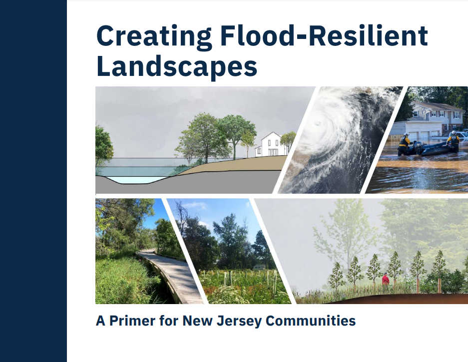
“Creating Flood-Resilient Landscapes: A Primer for New Jersey Communities” is a comprehensive guide designed to help stakeholders plan, design, and implement flood resilience projects on Blue Acres parcels and other flood-prone open spaces. This project is a collaboration between the Rutgers New Jersey Agricultural Experiment Station and South Dakota State University School of Design, funded by the New Jersey Department of Environmental Protection and the Rutgers Climate and Energy Institute.

Purpose of the Primer

The primer aims to provide stakeholders with the knowledge and tools needed to create flood-resilient landscapes. It addresses the significant risks posed by floods to human health and infrastructure and offers strategies to mitigate these risks through effective landscape management.

Key Sections of the Primer

  1. Overview of Flooding and Its Impact in New Jersey:
    • Highlights the widespread impact of flooding across New Jersey’s municipalities.
    • Discusses the increasing frequency and severity of flood events due to climate change and the state’s dense population and development.
  2. Framework for Developing a Landscape Resilience Strategy:
    • Outlines a structured approach to creating flood-resilient landscapes.
    • Emphasizes the importance of addressing challenges such as soil health, hydrologic patterns, and environmental stressors.
  3. Natural Function of Flood-Prone Landscapes:
    • Explains how natural ecosystems function to mitigate flood risks.
    • Illustrates the impact of development on flood vulnerability and the role of biodiversity in maintaining ecological function.
  4. Designing, Implementing, and Maintaining Resilient Landscapes:
    • Provides specific methods and techniques for transforming acquired properties into public assets.
    • Combines principles of engineering, ecology, landscape architecture, and social science to create sustainable, ecologically based resilience initiatives.

Challenges and Solutions

The primer addresses several challenges associated with managing flood-prone properties, including:

  • The need for sustainable management practices that do not overburden public resources.
  • The importance of maintaining ecological function despite legacy effects of previous development.
  • The necessity of community buy-in and effective partnerships to ensure successful project implementation.