Delaware Bay Reports
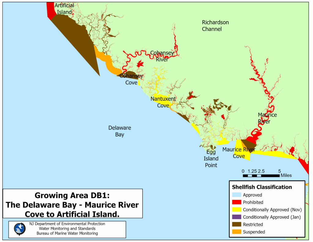
Delaware Bay from Maurice River Cove to Artificial Island
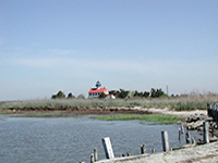
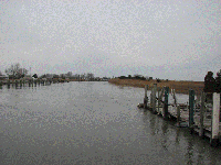
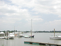
Photo Credit: NJDEP
Shellfish Growing Area DB1: The Delaware Bay from Maurice River Cove to Artificial Island, is located in the southwestern part of New Jersey and borders the shoreline of the Delaware Bay from the Maurice River Cove in Maurice River Township, Cumberland County, and extends northwest to Artificial Island in Lower Alloways Creek Township, Salem County. This shellfish growing area includes Hope Creek, Fishing Creek, Mad Horse Creek, Lower Deep Creek, Cherry Tree Creek, Muddy Creek, Stow Creek, Jacobs Creek, Fishing Creek, Cabin Creek, the Cohansey River, Drumbo Creek, Middle Marsh Creek, Back Creek, Tweed Creek, Cedar Creek, Nantuxent Creek, Dyer Creek, Padgett Creek, Sow and Pigs Creek, Beadons Creek, Fortescue Creek, Fishing Creek, Straight Creek, Oranoaken Creek, Dividing Creek, Indian Creek, the Maurice River, the Manumuskin River, Menantico Creek, and smaller tidal tributaries. The municipalities on the shore of this shellfish growing area include Maurice River Township, Commercial Township, Millville City, Downe Township, Lawrence Township, Fairfield Township, Hopewell Township, and Greenwich Township in Cumberland County; and Lower Alloways Creek Township in Salem County. The approximate size of this shellfish growing area is 83,781.9 acres of shellfish growing waters.
Status: Currently, the shellfish classification for this growing area is Approved, Conditionally Approved (November to April), Restricted, Prohibited, and Suspended for shellfish harvesting. There are approximately 49,195.4 acres of Approved waters (59%), 6,319 acres of Conditionally Approved (November to April) waters (8%), 18,994.3 acres of Restricted waters (23%), 5,890.9 acres of Prohibited waters (6.9%), and 3,381.8 acres of Suspended waters (4%) in this shellfish growing area.
Most recent Reappraisal Report
Most recent Sanitary Survey Report
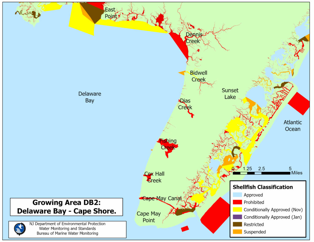
Delaware Bay - Cape Shore
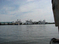
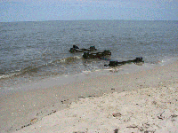
Photo Credit: NJDEP
Shellfish Growing Area DB2 (Delaware Bay – Cape Shore) is located in the southwestern part of New Jersey and it borders the shoreline of the Delaware Bay from East Point in Maurice River Township, Cumberland County, and extends southeast to Cape May Point in Cape May County. The northwestern edge of this shellfish growing area is located south of East Point, which is east of the mouth of the Maurice River at the border between this shellfish growing area and Shellfish Growing Area DB1 (The Delaware Bay from Maurice River Cove to Artificial Island). The southeastern edge of this shellfish growing area is located southeast of Cape May Point at the border between this shellfish growing area and the southwest edge of Shellfish Growing Area AO South (The Atlantic Ocean from Cape May Point to Absecon Inlet). This shellfish growing area includes Riggins Ditch, West Creek, East Creek, Dennis Creek, Roaring Ditch, Old Robins Branch, Crow Creek, Sluice Creek, Goshen Creek, Bidwell Creek, Dias Creek, Fishing Creek, Cox Hall Creek, and smaller tidal tributaries. The municipalities on the shore of this shellfish growing area include Maurice River Township in Cumberland County, and Dennis Township, Middle Township, Lower Township, and Cape May Point Borough in Cape May County. The approximate size of this shellfish growing area is about 36,916.9 acres of shellfish growing waters.
Status: Currently, the shellfish classification for this growing area is Approved, Conditionally Approved (November to April), Prohibited and Suspended for shellfish harvesting. There are approximately 31,934.9 acres of Approved waters (87%), 2,080.9 acres of Conditionally Approved (November to April) waters (6%), 2,811.6 acres of Prohibited waters (8%) and 89.3 acres of Suspended waters (<1%) in this shellfish growing area.
Most recent Reappraisal Report
Most recent Sanitary Survey Report
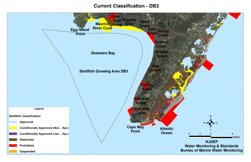
Delaware Bay Offshore
(Cross Ledge, Deadmans & Brandywine Shoal)
Photo Credit: NJDEP
Shellfish Growing Area DB3: The Delaware Bay Offshore (Cross Ledge, Deadmans & Brandywine Shoal) is a remote shellfish growing area located in the southwestern part of New Jersey. The eastern edge of this shellfish growing area is about 1.2 miles west of the shoreline bordering the coast of Lower Township, about 1.7 miles west of the shoreline bordering the coast of Middle Township in Cape May County, and about 2.5 miles west of the shoreline bordering the coast of Dennis Township in Cape May County. The northwestern edge of this shellfish growing area is located about 223 yards north of channel buoy Flashing Green 2.5 second “29” (Fl G 2.5 sec “29”) in the Delaware Bay and the northern edge of this shellfish growing area is located at channel buoy Flashing 4 second 27 feet 7M (Fl 4 sec 27ft 7M) in the Delaware Bay, which is about 1,088 yards southeast of the tip of Egg Island Point in Downe Township, Cumberland County. This remote shellfish growing area does not border any shorelines. The municipalities onshore of this remote shellfish growing area include Cape May Point Borough, Lower Township, Middle Township, and Dennis Township to the east in Cape May County, and Maurice River Township, Commercial Township, Downe Township, and Lawrence Township to the north in Cumberland County.
Status: Currently, the shellfish classification for this entire growing area is Approved. There is approximately 135,345 acres of Approved waters (100.0%) in this shellfish growing area.
Most recent Reappraisal Report
Most recent Sanitary Survey Report
