Barnegat Bay Reports
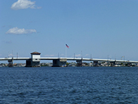
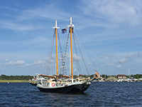
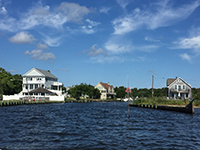
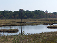
Photo Credit: NJDEP
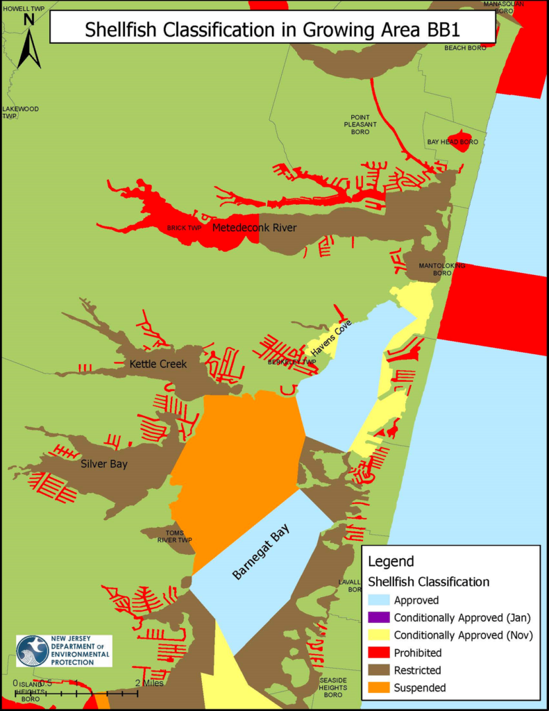
The Northern Barnegat Bay is located in Ocean County and is made up of the waters from Bay Head to Seaside Heights, which includes the Metedeconk River and the northern portion of the Barnegat Bay. There are many small tributaries that flow into the Northern Barnegat Bay which include Beaver Dam Creek, Cedar Bridge Creek and North Branch Creek. This Northern Barnegat Bay growing area includes 10,892 acres of marine water. This growing area is bordered by the following municipalities: Brick Township, Bay Head, Mantoloking, Lavallette, Point Pleasant, Seaside Heights, Berkeley Township and Toms River.
Status: Currently, 23.3% of this growing area is Approved for shellfish harvest year-round, 6.2% is classified as Conditionally Approved (Nov.) ; open for shellfish harvest November through April, 39.2% is classified as Restricted; no harvesting for direct market is allowed in Restricted waters, in 12.2% of this growing area shellfish harvest is Prohibited and 19.1% of this growing area has been Suspended for shellfish harvest.
Most recent Reappraisal Report
Most recent Sanitary Survey Report
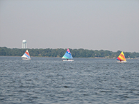
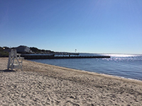
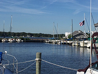
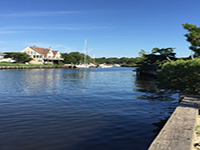
Photo Credit: NJDEP
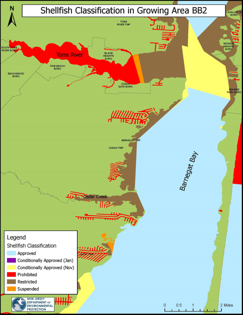
The Central Barnegat Bay region is located in Ocean County and includes the waters of the Toms River, Cedar Creek and a large section of Barnegat Bay. There are many small tributaries that feed into the Toms River including Davenport’s Branch, Jake’s Branch, Union Branch and Wrangle Brook. This growing area includes 14,353 acres of marine waters. The Central Barnegat Bay growing area is bordered by the following municipalities: Seaside Park, Seaside Heights, Island Heights, South Toms River, Beachwood, Pine Beach, Ocean Gate, Berkeley Township and Lacey Township.
Status: Currently, 67.5% of this growing area is Approved for shellfish harvest year-round, 7.5% is classified as Conditionally Approved (Nov.) ; open for shellfish harvest November through April, 13.5% is classified as Restricted; no harvesting for direct market is allowed in Restricted waters, in 10.6% of this growing area shellfish harvest is Prohibited and in 0.9% of this growing area has been Suspended for shellfish harvest.
Most recent Reappraisal Report
Most recent Sanitary Survey Report
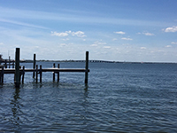
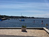
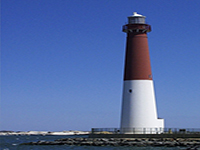
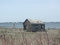
Photo Credit: NJDEP
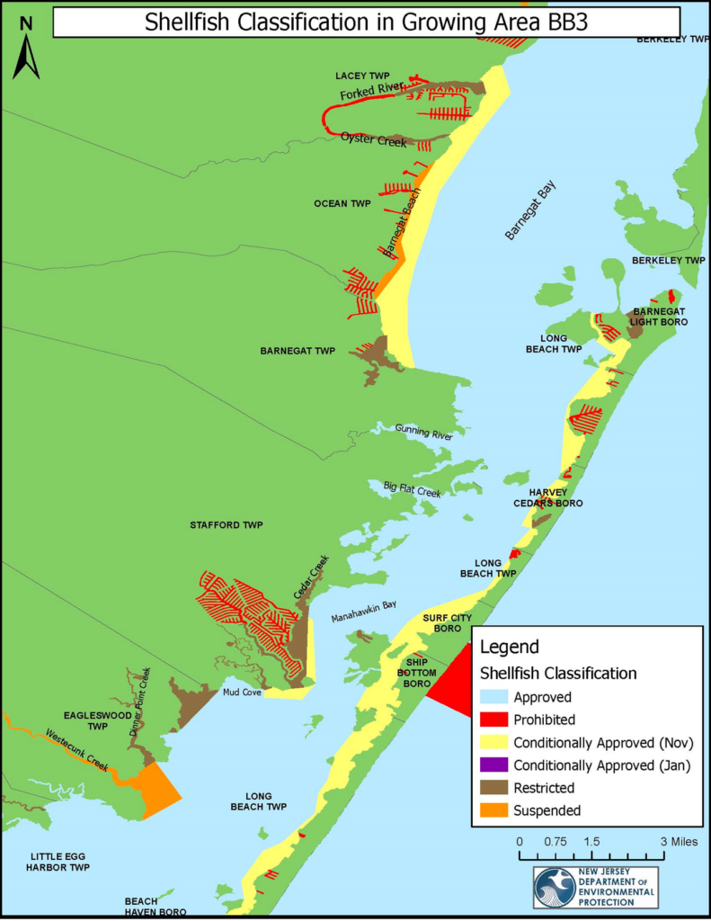
Shellfish Growing Area BB3 is located in Ocean County and consists of all the back bay waters from Westecunk Creek in Little Egg Harbor to Sunrise Beach in southern Barnegat Bay. In total, there are 30,996 shellfish growing water acres in BB3. There are many tributaries that feed into the Barnegat Bay, such as Westecunk Creek, Dinner Point Creek, Mill Creek, Big Flat Creek, Double Creek, Oyster Creek and Forked River. This growing area is bordered by the following municipalities: Eagleswood, Stafford, Barnegat Ocean Township, Forked River, Long Beach Township, Barnegat Light, Harvey Cedars, Surf City and Ship Bottom.
Status: Currently, 81.8% of this growing area is Approved for shellfish harvest year-round, 10.8% is classified as Conditionally Approved (Nov.) ; open for shellfish harvest November through April, 3.3% is classified as Restricted; no harvesting for direct market is allowed in Restricted waters, in 2.2% of this growing area shellfish harvest is Prohibited and 1.8% of this growing area is Suspended for shellfish harvest.
Most recent Reappraisal Report
Most recent Sanitary Survey Report
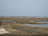
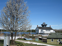
Photo Credit: NJDEP
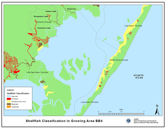
Shellfish Growing Area BB4 is located in Ocean County and consists of all the back bay waters from just north of Parker Run to Little Sheepshead Creek. In total, there are 13,511 shellfish growing water acres in BB4. There are many tributaries that feed into this growing area, such as Little Sheepshead Creek, Big Sheepshead Creek, Jimmies Creek, Little Thorofare, Big Thorofare, Tuckerton Creek, Jeremy Creek, Thompson Creek, Jesses Creek, and Parker Run. The following municipalities are adjacent to this growing area: Long Beach Township, Beach Haven, Little Egg Harbor, Tuckerton and Eagleswood Township.
Status: Currently, 94.0% of this growing area is Approved for shellfish harvest year-round, 3.8% is classified as Conditionally Approved (Nov.) ; open for shellfish harvest November through April, 0.7% is classified as Restricted; no harvesting for direct market is allowed in Restricted waters and in 1.5% of this growing area shellfish harvest is Prohibited.
Most recent Reappraisal Report
Most recent Sanitary Survey Report
