Atlantic Ocean Reports
Beach Haven Terrace to Bay Head
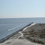
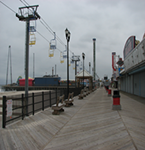
Photo Credit: NJDEP
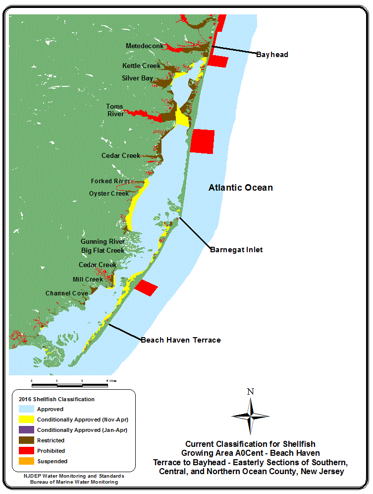
AOCent is an ocean shellfish growing area that encompasses 31 miles of coastline from Beach Haven Terrace in the south to Bayhead in the north. This growing area then extends eastward from the coastal description above out into the Atlantic Ocean for three miles.
Urban coastal towns adjoin the shellfish growing waters of AOCent. Those towns are largely composed of residential homes. Although limited in number, commercial properties do exist. Populations within the coastal border of AOCent expand during the warmer months and decrease during the winter.
The southern half of coastal AOCent sits alongside the barrier island known as Long Beach Island or LBI. To the north of LBI, across Barnegat Inlet, is a substantial section of relatively undeveloped land belonging to Island Beach State Park. The remainder of the abutting coastal land mass for AOCent is a composition of numerous shore towns beginning with South Seaside Park and extending north to Bayhead.
The outfalls for Ocean County Utilities Authority’s southern, central, and northern water pollution control facilities’ wastewater treatment discharge pipes and outfalls are located in AOCent. Closed safety zones or Prohibited waters surround all OCUA outfalls. These Prohibited areas are necessary as per National Shellfish Sanitation Program (NSSP) requirements, and are maintained as buffers for effluent dilution.
Impact from stormwater runoff is limited in regard to this growing area’s water quality and shellfish growing water classifications, as stormwater drainage is directed toward the bayside. Any waters having been impacted by stormwater runoff on the bayside have been significantly diluted upon reaching the ocean waters of AOCent via Barnegat Inlet.
Status: In total, AOCent is currently comprised of 78,443 shellfish growing waters acres. This acreage is comprised of 71,790 acres of Approved waters or 91.52 % is Approved for shellfishing and 6,653 acres or 8.48 % are designated as Prohibited (no shellfishing allowed).
Most recent Reappraisal Report
Most recent Sanitary Survey Report
Monmouth Beach to Sandy Hook
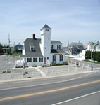
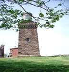
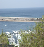
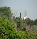
Photo Credit: NJDEP
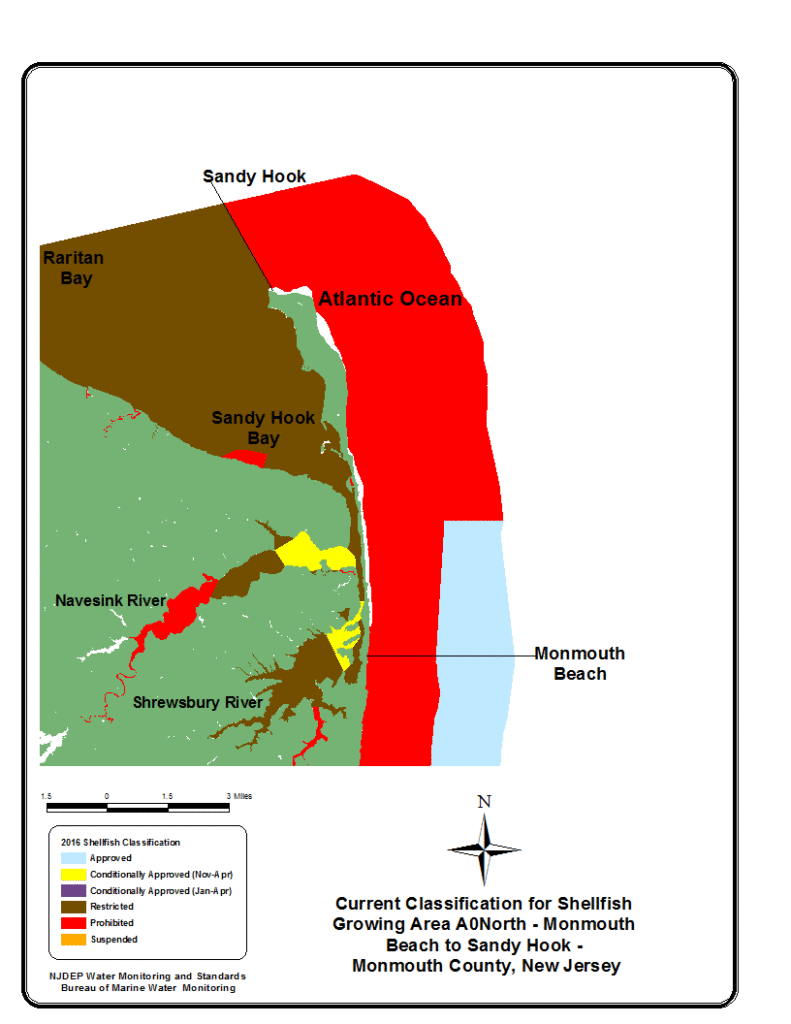
AONorth extends along 11.25 nautical miles of the Atlantic Ocean from Monmouth Beach in the south, then north, following the coastline, then northwestward beyond Sandy Hook. This shellfish growing area then extends eastward from the above description into the Atlantic Ocean for three nautical miles.
AONorth is bordered to the west by a peninsula type land formation. The New York Bight and the shipping lanes associated with ingress and egress into New York and northern New Jersey are close by to the northeast. AONorth ocean waters mix readily with inputs from Sandy Hook and Raritan Bays to the west and Lower New York Bay to the north.
Several rivers feed into the bays that eventually mix with the waters of AONorth. The largest of these would include the Shrewsbury, Navesink, Raritan, and Hudson rivers.
About 50 percent of the land adjacent to AONorth consists of a number of urban towns along the shore. This would be the sector from Monmouth Beach in the south to the base of Sandy Hook. Sandy Hook comprises the central to northerly sector and it is primarily a national recreation area. As a result, the central to northern section is less populated and contains fewer building structures.
There is a direct source input into this shellfish growing area, which comes from the outfall for the Monmouth County Bayshore Outfall Authority discharge pipe. Buffer areas or Prohibited waters are in place regarding this discharge, satisfying National Shellfish Sanitation Program (NSSP) requirements.
Stormwater outfall inputs are absent along the ocean shoreline of AONorth. Any waters having been impacted by such sources are primarily directed to the bayside. Storm water runoff eventually enters the waters of AONorth after being substantially diluted by the waters of the Shrewsbury, Navesink, Raritan, and Hudson rivers along with Sandy Hook, Raritan, and Lower New York Bays.
Status: In total, AONorth is currently comprised of 27,781 shellfish growing waters acres. This acreage is comprised of 3,695 acres of Approved waters or 13.30 % is Approved for shellfishing and 24,086 acres or 86.70 % are designated as Prohibited (no shellfishing allowed).
Most recent Reappraisal Report
Most recent Sanitary Survey Report
Bay Head to Monmouth Beach
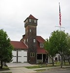
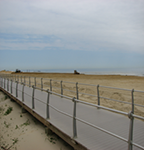
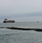
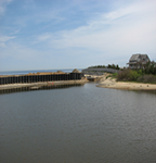
Photo Credit: NJDEP
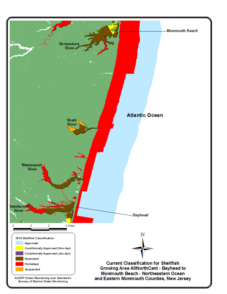
AONorthCent is an ocean shellfish growing area that encompasses 18 miles of coastline from Bayhead in the south to Monmouth Beach in the north. This growing area then extends eastward from that coastline into the Atlantic Ocean for three miles.
A number of coastal towns can be found along the shoreline of shellfish growing area AONorthCent. Generally, these are seasonal communities with larger populations prevalent in warmer months. Although generally residential, commerce in the communities along this coastal sector of the State increases when comparing it to coastal locations to the south.
The discharge pipes and outfalls of six wastewater treatment facilities are located within AONorthCent. Wastewater treatment plant outfalls require the designation of safety zones or Prohibited areas that act as buffers for dilution. Having the dilution area provided by the buffers satisfies a National Shellfish Sanitation Program (NSSP) requirement, and supports public health and safety.
AONorthCent shellfish growing waters receive input from the Manasquan and Shark Rivers along with Poplar Brook and Whale Pond Brook (indirectly – feeds into Lake Takanassee, which has an ocean outfall). There are a number of stormwater outfalls within those water sources and stormwater outfalls exist within various inshore lakes and ponds that empty into the waters of this growing area, and along the AONorthCent shoreline. Stormwater inputs from these outfalls, lakes, brooks, and rivers have generally been diluted before they meet and mix with AONorthCent shellfish growing waters.
Status: In total, AONorthCent is currently comprised of 46,664 shellfish growing waters acres. This acreage is comprised of 31,985 acres of Approved waters or 68.54 % is Approved for shellfishing and 14,679 acres or 31.46 % are designated as Prohibited (no shellfishing allowed).
Most recent Reappraisal Report
Most recent Sanitary Survey Report
Absecon Inlet to Beach Haven Terrace
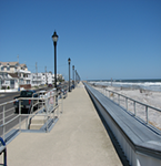
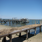
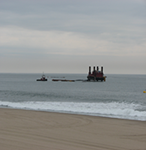
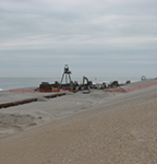
Photo Credit: NJDEP
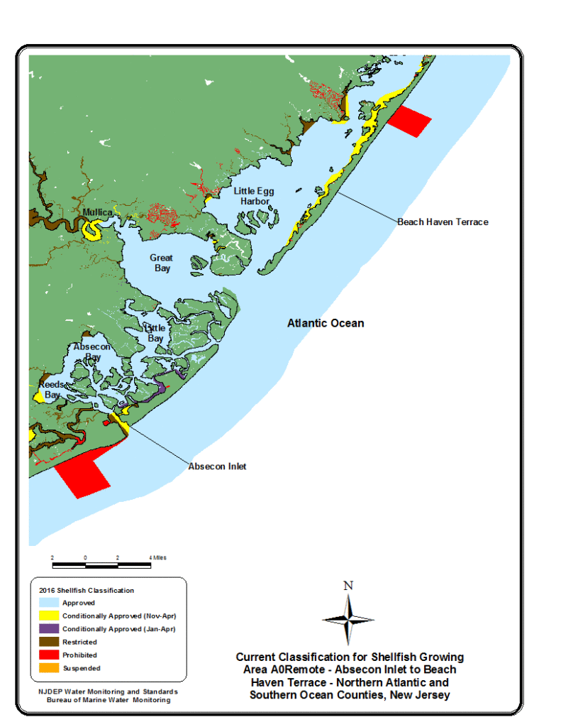
The ocean shellfish growing waters of AORemote include approximately 15 miles of coastline from the north side of Absecon Inlet in the south to Beach Haven Terrace in the north. This section of shellfish growing area waters then extends eastward from the coastal description above out into the Atlantic Ocean for three miles.
About half of the land comprising the adjoining beachfront of AORemote is part of the Edwin B. Forsythe National Wildlife Refuge. As a result, there is relatively little impact from this area as stormwater and treatment facility infrastructure is absent within the coastal composition of the wildlife refuge. The area that comprises the City of Brigantine (Brigantine) and a portion of the communities belonging to Long Beach Island, make up the remainder of coastal AORemote. These urban locations are primarily comprised of residential homes. Commercial properties in these areas are relatively limited.
Remote Status, as suggested by the National Shellfish Sanitation Program (NSSP), is applicable for shellfish growing waters which are not impacted by any actual or potential pollution sources, and those waters meet Approved classification criteria. The sampling stations within AORemote and its attributed waters have had a continuous record of satisfying NSSP criteria for Approved waters in Remote Status.
AORemote shellfish growing waters do receive input from the Beach Haven or Little Egg Harbor Inlet, and to a lesser degree, Absecon Inlet. Those inputs come from waters generally classified as Approved or waters that receive substantial dilution before mixing with the waters of AORemote.
Status: In total, AORemote is currently comprised of 38,549 shellfish growing waters acres. This acreage is classified as Approved with 100% of that acreage available or Approved for shellfishing.
Most recent Reappraisal Report
Most recent Sanitary Survey Report
Cape May Point to Absecon Inlet
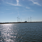
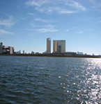
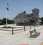
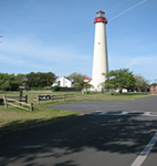
Photo Credit: NJDEP
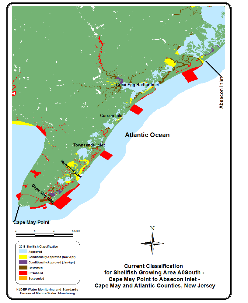
AOSouth is an ocean shellfish growing area that encompasses 43 miles of coastline from Cape May Point in the south to Absecon Inlet in the north. This growing area then extends eastward from the coast out into the Atlantic Ocean for three miles.
The numerous coastal towns adjoining the shellfish growing waters of AOSouth are urban, comprised in large part by residential homes although there are clusters of commercial properties. These towns generally act as seashore towns with populations expanding during spring and summer and substantially reducing in the winter.
Four discharge pipes and their associated outfalls discharge effluent from six wastewater treatment facilities into the waters of AOSouth. Wastewater treatment plant outfalls require the designation of safety zones or Prohibited areas that act as buffers for dilution.
AOSouth shellfish growing waters also receive input from the Great Egg Harbor River, Tuckahoe River, and additionally receive contributions from a large number of smaller creeks that feed into these rivers or the back bay waters to the west of coastal AOSouth. All of these waterways make their way to the ocean by way of six inlets along the AOSouth shoreline.
Status: In total, AOSouth is currently comprised of 109,860 shellfish growing waters acres. This acreage is comprised of 95,679 acres of Approved waters or 87.09% is Approved for shellfishing and 14,181 acres or 12.91 % are designated as Prohibited (no shellfishing allowed).
Most recent Reappraisal Report
Most recent Sanitary Survey Report
