Official Site of The State of New Jersey
Fish & Wildlife
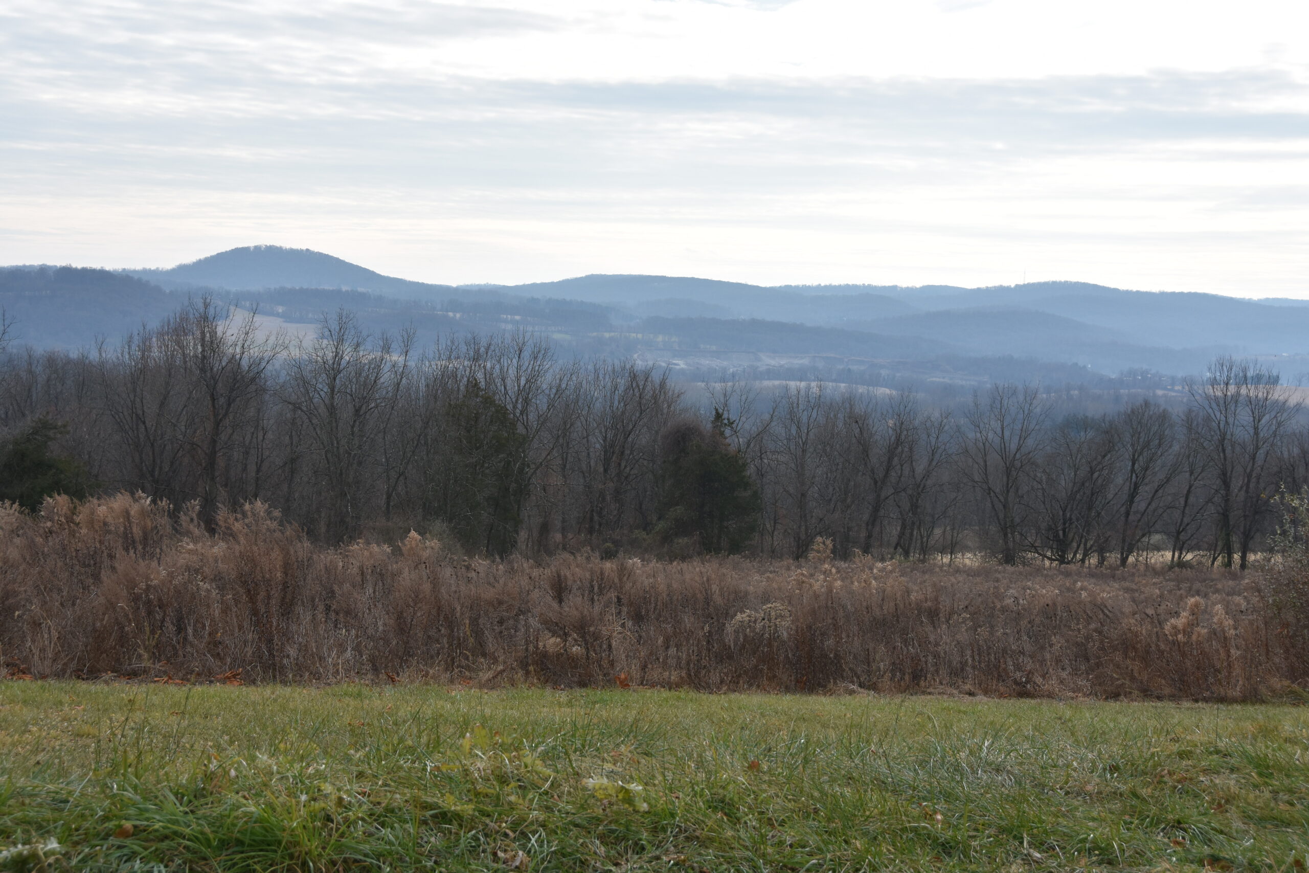
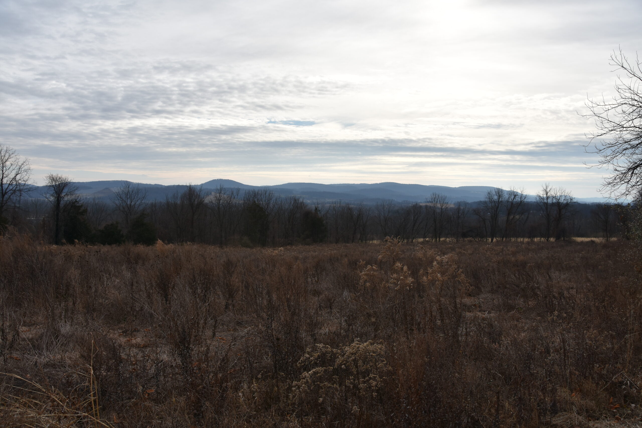
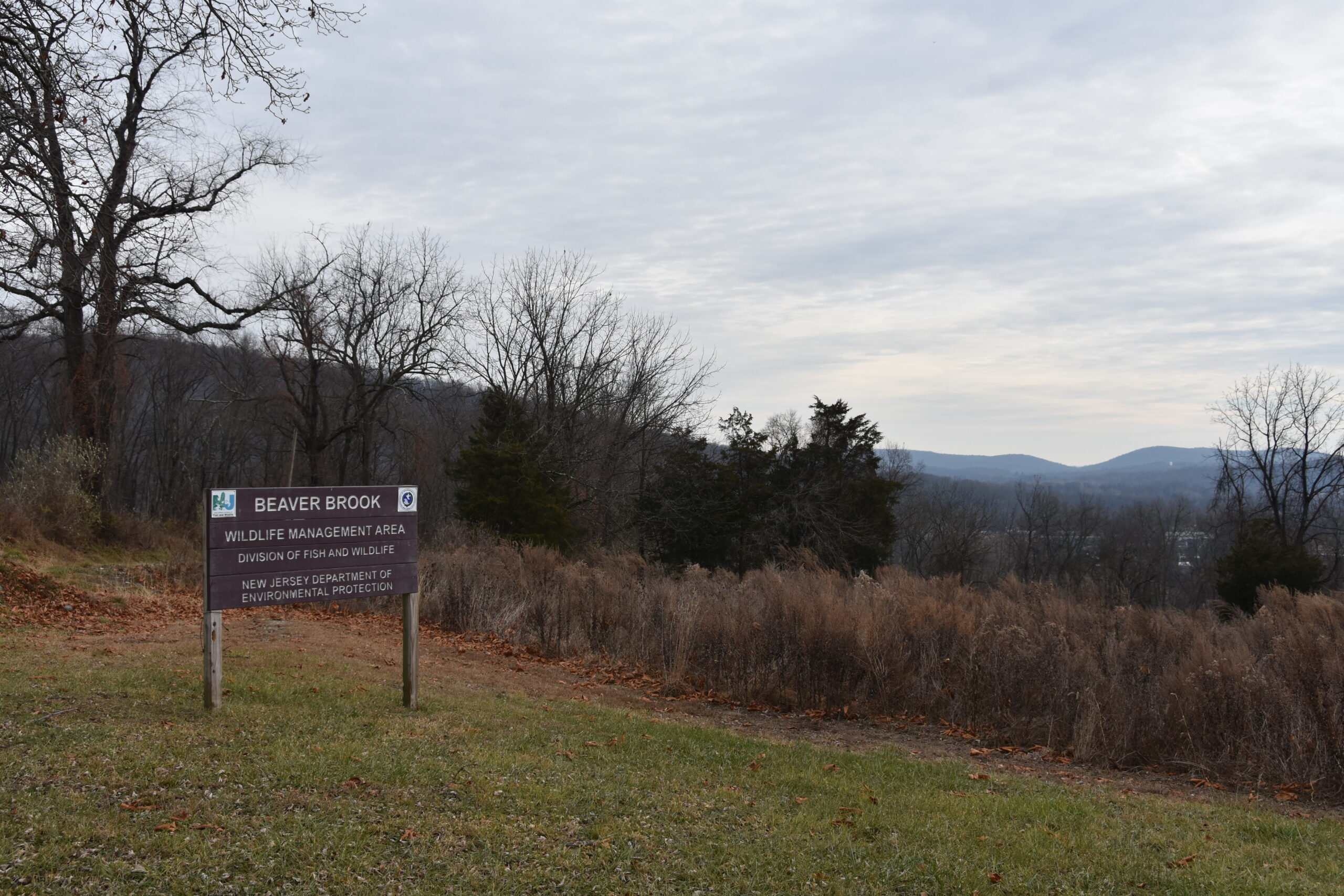
Located in Knowlton and White Townships, Warren County, Beaver Brook Wildlife Management Area comprises 681 acres nestled in the Highlands, with the Pequest River to the south and the Delaware River to the west. The WMA offers outdoor recreation, hiking, wildlife-watching, and spectacular views of the nearby Jenny Jump Mountain.
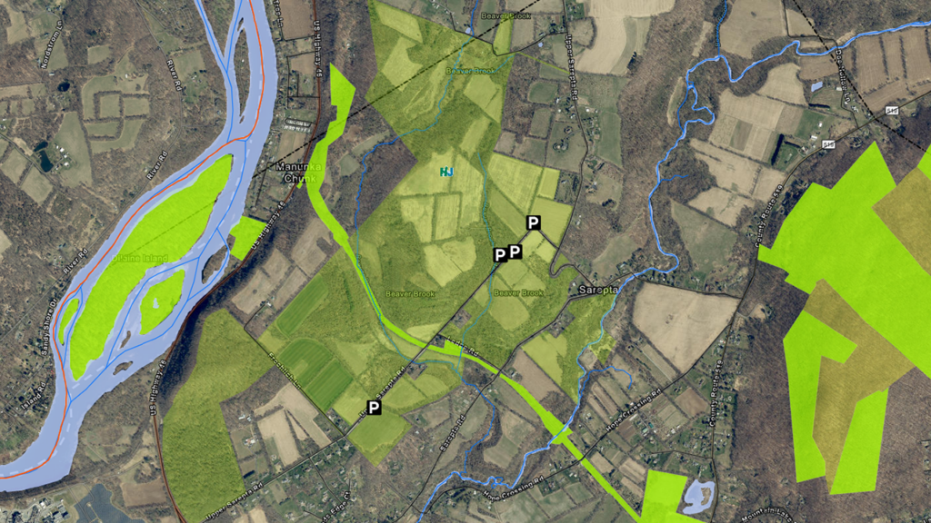
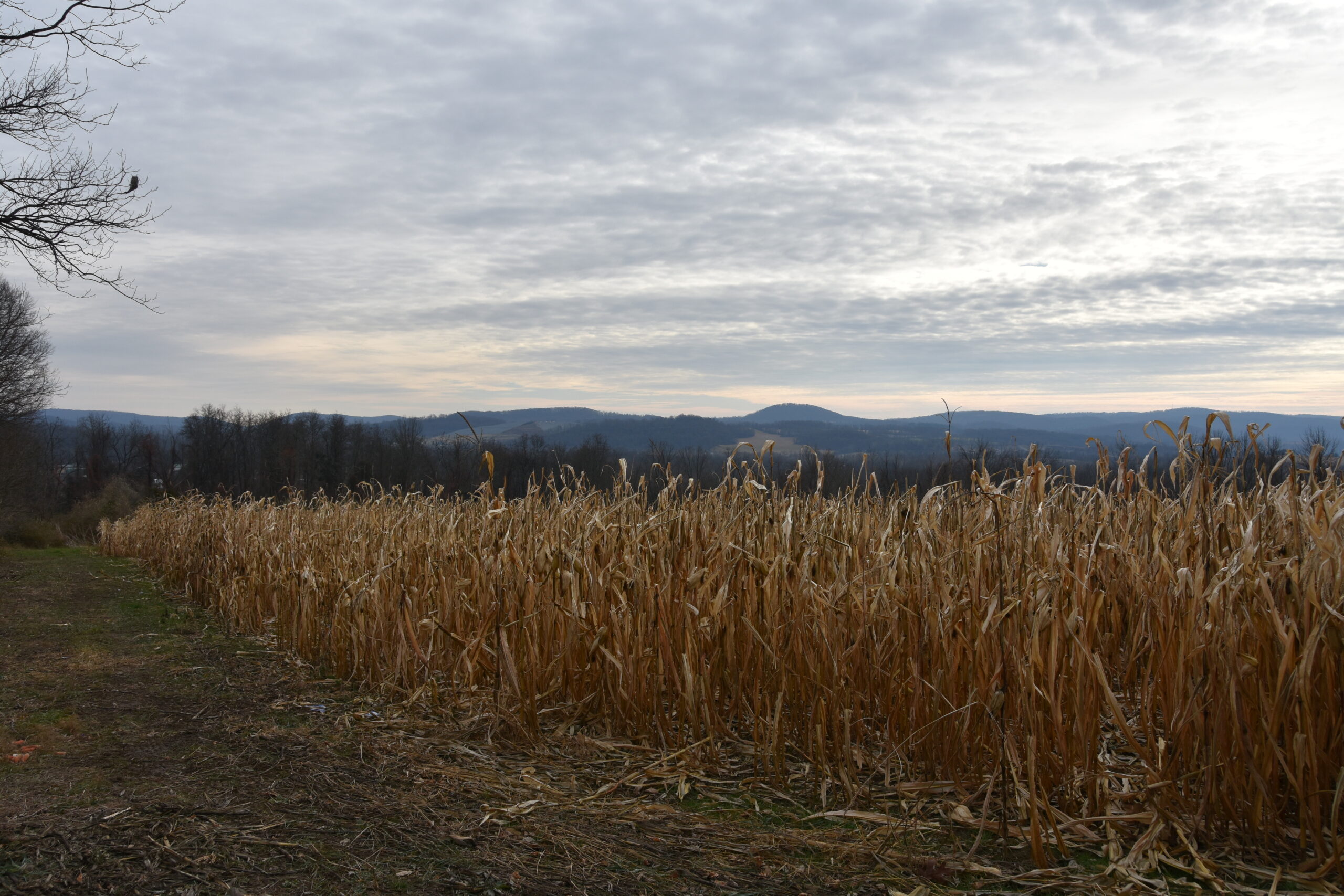
There are several unpaved parking areas with access to wide trails into the woods. You will find nearly 1.9 miles of abandoned railroad bed, running from North Bridgeville Road to the Manunka Chunk Tunnel. Jenny Jump State Forest cuts through the middle of the WMA where the north and south end of the tunnel are located. The rail bed approaches the Manunka Chunk Tunnel through the south side of the property. Multiple paths cross agricultural fields throughout the WMA. It is possible to walk several field borders throughout the hillside. Along Upper Sarepta Road at a 90-degree bend, near the intersection with Mutton Hill Road, there is a fantastic view of the surrounding countryside. A short walk from Ledge Road, where limited parking is available will lead into an abandoned quarry from which the road takes its name. Intrepid off-trail hikers may also follow another section of public property along the scenic Beaver Brook to the south. None of the trails mentioned are blazed.
The namesake Beaver Brook runs through a small portion of the WMA and is stocked with trout off Route 519 four times per year. Redfin pickerel, chub and sunfish are present, and a quick ride will get you into angling action on the Delaware or many other nearby stocked waters.
The rolling fields planted with native grasses and woodlands make it an ideal spot to hunt deer in DMZ 5 and turkey in THA 4. As always, hunters should be mindful of the planted agricultural fields.
Drive west on US 80 to Exit 12 and then turn left onto Route 521 (in Hope, the route changes to Route 519). Continue to drive 6.3 miles south and turn right onto Sarepta Road for 0.6 miles before turning right onto Mutton Hill Road. Then, drive 0.3 miles and turn left onto Upper Sarepta Road. Proceed .02 of a mile to a right turn into a parking area. There are four marked unpaved parking areas with access to wide trails into the woods.
Owned by New Jersey Department of Environmental Protection, Fish & Wildlife, the Wildlife Management Area System is comprised of more than 360,000 acres in 122 areas throughout the state, which is more than 44% of New Jersey’s state-owned public open space. WMAs are maintained and supported with funding from hunting and fishing license sales, the Federal Wildlife and Sport Fish Restoration Program and the Wildlife Habitat Supporter Program.
Support the maintenance of New Jersey’s Wildlife Management Areas by becoming a Wildlife Habitat Supporter! Donate now and get your Second Edition sticker:
WMAs are patrolled by NJ Fish & Wildlife Conservation Police Officers to ensure public safety. If you see violations while visiting a WMA, please call the 24-hour DEP hotline at 877-WARN-DEP (877-927-6337).