 Official Site of The State of New Jersey

Ponds, Lakes and Reservoirs Page
Delaware River Access
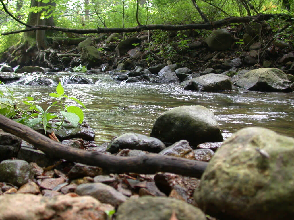
The portions of streams and rivers listed below are owned by various government agencies and public access is assured. Of the approximately 8,600 miles of freshwater streams in the state, these represent only a small percent; however these waters should provide stretches of uninterrupted “hassle free” fishing.
The print version of the Places to Fish booklet, which contains additional information, including species found and fishing quality, is currently out of stock. However, a printable PDF version is available on this website:
Places to Fish – Streams (PDF, 185kb)
License agents can also help you find productive local fishing sites.
For a list of publicly owned access sites on the Delaware River contact the Bureau of Freshwater Fisheries at P.O. Box 394, Lebanon, NJ 08833 or call 908-236-2118. The list is available on line as well:
Delaware River Boat Access Sites
Click for information on accessible sites for people with a disabling condition.
There are separate pages of access points on trout waters listed by county and alphabetically.
Waters are grouped by county:
| Atlantic Bergen Burlington Camden Cumberland Essex | Hunterdon Mercer Middlesex Monmouth Morris Ocean | Passaic Salem Somerset Sussex Union Warren |
| Atlantic County | ||||
| STREAM | AREA | NEAREST TOWN | LENGTH (mi.) | AVG. WIDTH (ft.) |
| Mullica River | Wharton St. Forest | Sweetwater-Jackson | 14.0 | 150 |
| Bergen County | ||||
| STREAM | AREA | NEAREST TOWN | LENGTH (mi.) | AVG. WIDTH (ft.) |
| Ramapo River | Ramapo Valley Reservation | Mahwah | 1.0 | 70 |
| Saddle River | Saddle River Park | Ridgewood | 0.5 | 30 |
| Saddle River | Lake St. Park | Upper Saddle River | 0.3 | 12 |
| Burlington County | ||||
| STREAM | AREA | NEAREST TOWN | LENGTH (mi.) | AVG. WIDTH (ft.) |
| Batsto River | Wharton St. Forest | Quaker Bridge-Batsto | 5.0 | 30 |
| Mullica River | Wharton State Forest | Sweetwater-Jackson | 14.0 | 150 |
| Oswego River | Wharton State Forest | Jenkins Neck | 2.5 | 30 |
| Rancocas Creek | Mill Cr. Park | Delran | 1.0 | 200 |
| Rancocas Cr. N/Br. | Smithville Co. Park | Mount Holly | 2.0 | 50 |
| Rancocas Cr. N/Br. | Rancocas St. Park | Rancocas | 2.0 | 50 |
| Rancocas Cr. S/Br. | Rancocas St. Park | Rancocas | 2.0 | 35 |
| Wading River | Wharton St. Forest | Washington-Speedwell | 4.3 | 30 |
| Camden County | ||||
| STREAM | AREA | NEAREST TOWN | LENGTH (mi.) | AVG. WIDTH (ft.) |
| Great Egg Harbor River | Winslow WMA | Sicklerville | 2.0 | 15 |
| Cumberland County | ||||
| STREAM | AREA | NEAREST TOWN | LENGTH (mi.) | AVG. WIDTH (ft.) |
| Buckshutem Creek | Millville WMA | Laurel Lake | 3.7 | 20 |
| Cohansey River | Bridgeton City Park | Bridgeton | 1.3 | 30 |
| Manamuskin River | Peaslee WMA | Bennets Mill | 4.2 | 20 |
| Maurice River | Sharp St. Rec. Area | Millville | 1.3 | 60 |
| Maurice River | Vineland Twp. Property | Malaga | 2.2 | 20 |
| Menantico Creek | Menatico WMA | Millville | 1.0 | 15 |
| Essex County | ||||
| STREAM | AREA | NEAREST TOWN | LENGTH (mi.) | AVG. WIDTH (ft.) |
| Passaic River | West Essex Co. Park | Livingston-W. Caldwell | 17.0 | 95 |
| Hunterdon County | ||||
| STREAM | AREA | NEAREST TOWN | LENGTH (mi.) | AVG. WIDTH (ft.) |
| Black Brook | Clinton WMA | Norton | 0.5 | 6 |
| Capoolong Creek | Capoolong WMA | Pittstown-Landsdown | 4.0 | 10 |
| D&R Feeder Canal | D&R Canal Park | Raven Rock-Lambertville | 8.4 | 40 |
| Lockatong Creek | Lockatong Preserve | Rosemont | 1.0 | 18 |
| Mulhockaway Creek | Clinton WMA | Norton | 0.3 | 10 |
| Musconetcong River | Musconetcong Gorge | Bloomsbury-Warren Glen | 3.5 | 70 |
| Musconetcong River | Musconetcong River WMA | Penwell/Port Murray | 1.0 | 60 |
| Musconetcong River | Musconetcong River WMA | Bloomsbury | 0.5 | 80 |
| Raritan River S/Br. | South Branch Linear Park | Clinton-Flemington | 8.0 | 40 |
| Raritan River S/Br. | Ken Lockwood Gorge WMA | Califon-High Bridge | 2.5 | 20 |
| Raritan River S/Br. | Califon Park | Califon | 0.3 | 67 |
| Mercer County | ||||
| STREAM | AREA | NEAREST TOWN | LENGTH (mi.) | AVG. WIDTH (ft.) |
| Assunpink Creek | Van Ness Refuge | Dutch Neck | 0.5 | 30 |
| D & R Canal | D & R Canal Park | Trenton-Kingston | 14.0 | 30 |
| D & R Feeder Canal | D & R Canal Park | Lambertville-West Trenton | 8.0 | 40 |
| Middlesex County | ||||
| STREAM | AREA | NEAREST TOWN | LENGTH (mi.) | AVG. WIDTH (ft.) |
| D & R Canal | D & R Canal Park | New Brunswick-Kingston | 20.0 | 30 |
| Monmouth County | ||||
| STREAM | AREA | NEAREST TOWN | LENGTH (mi.) | AVG. WIDTH (ft.) |
| Assunpink Creek | Assunpink WMA | Roosevelt | 2.0 | 20 |
| Manasquan River | Allaire St. Park | Squankum | 2.5 | 35 |
| Manasquan River | Howell Park Golf Course | Farmingdale | 1.0 | 35 |
| Manasquan River | Manasquan WMA | Herbertsville | 1.3 | 60 |
| Mingamahone Br. | Allaire St. Park | Squankum | 1.0 | 19 |
| Shark River | Shark River Park | Glendola | 2.0 | 15 |
| Morris County | ||||
| STREAM | AREA | NEAREST TOWN | LENGTH (mi.) | AVG. WIDTH (ft.) |
| Black River | Black River WMA | Ironia-Chester | 4.5 | 12 |
| Black River | Black River Park | Milltown-Hackelbarney | 0.8 | 12 |
| Black (Lamington) River | Hackelbarney St. Park | Pottersville | 1.3 | 18 |
| Electric Brook | Camp Washington Park | Long Valley | 0.3 | 8 |
| India Brook | Mendham Twp. Park | Mendham | 1.3 | 8 |
| Passaic River | Passaic River Park | Chatham | 2.4 | 95 |
| Raritan River S/Br. | Claremont Section | Long Valley | 1.1 | 44 |
| Raritan River S/Br. | Bartley-Flanders Rd. Access | Flanders | 0.3 | 27 |
| Rockaway River | Berkshire Valley WMA | Berkshire Valley | 2.0 | 32 |
| Rockaway River | Rockaway River WMA | Berkshire Valley | 2.4 | 30 |
| Ocean County | ||||
| STREAM | AREA | NEAREST TOWN | LENGTH (mi.) | AVG. WIDTH (ft.) |
| Metedeconk River-S/Br. | Carasaljo Park | Lakewood | 0.6 | 19 |
| Metedeconk River-S/Br. | Ocean Co. Park | Lakewood | 0.4 | 19 |
| Toms River | Tree Farm | Jackson | 1.2 | 24 |
| Passaic County | ||||
| STREAM | AREA | NEAREST TOWN | LENGTH (mi.) | AVG. WIDTH (ft.) |
| Cooleys Brook | A.S. Hewitt St. Forest | Browns | 3.0 | 10 |
| Green Brook | A.S. Hewitt St. Forest | Browns | 2.0 | 10 |
| Posts Brook | Norvin Green St. Forest | Bloomingdale | 3.0 | 10 |
| Ringwood River | Ringwood Manor St. Park | Ringwood | 1.0 | 33 |
| Wanaque River | Wanaque WMA | Awosting | 1.6 | 44 |
| Wanaque River | Greenwood Lake St. Park | Hewitt | 3.4 | 44 |
| Salem County | ||||
| STREAM | AREA | NEAREST TOWN | LENGTH (mi.) | AVG. WIDTH (ft.) |
| Muddy River | Parvin St. Park | Centerton | 2.0 | 25 |
| Somerset County | ||||
| STREAM | AREA | NEAREST TOWN | LENGTH (mi.) | AVG. WIDTH (ft.) |
| Passaic River | Lord Stirling Park | Basking Ridge | 1.3 | 20 |
| Raritan River | Duke Island Park | Raritan | 1.0 | 100 |
| Raritan River N/Br. | Chipman Tract | Branchburg Park | 0.3 | 30 |
| Raritan River N/Br. | North Branch Park | North Branch-Branchburg Park | 0.8 | 25 |
| Sussex County | ||||
| STREAM | AREA | NEAREST TOWN | LENGTH (mi.) | AVG. WIDTH (ft.) |
| Flatbrook | High Point St. Park | Tuttles Corner | 3.0 | 26 |
| Flatbrook | Stokes St. Forest | Tuttles Corner | 3.2 | 26 |
| Flatbrook | Walpack WMA | Haney’s Mill | 2.1 | 42 |
| Flatbrook | Flatbrook-Roy WMA | Bevans | 4.1 | 42 |
| Flatbrook | D.W.G.N.R.A. | Walpack Center-Flatbrookville | 15.0 | 42 |
| Franklin Pd. Creek | Hamburg Mt. WMA | Franklin | 2.3 | 12 |
| Little Flatbrook | Flatbrook –Roy | Bevans | 1.5 | 16 |
| Little Flatbrook | Hainesville WMA | Hainesville | 0.3 | 16 |
| Parker Brook | Stokes St. Forest | Tuttles Corner | 1.5 | 17 |
| Pequest River | Whittingham WMA | Springdale | 1.6 | 15 |
| Pochuck Creek | Wawayanda S.P. | Vernon | 1.0 | 30 |
| Stony Brook | Stokes St. Forest | Tuttles Corner | 1.3 | 9 |
| Tuttles Corner Br. | Stokes St. Forest | Tuttles Corner | 2.2 | 13 |
| Van Campens Br. | D.W.G.N.R.A. | Millbrook | 2.0 | 10 |
| Wallkill River | Wallkill NWR | Quarryville | 9.0 | 80 |
| Wawayanda Cr. | Wawayanda St. Park | Cherry Ridge | 2.0 | 25 |
| Union County | ||||
| STREAM | AREA | NEAREST TOWN | LENGTH (mi.) | AVG. WIDTH (ft.) |
| Green Brook | Watchung Reservation | Scotch Plains | 1.0 | 12 |
| Passaic River | Passaic River Park | New Providence | 8.5 | 95 |
| Rahway River | Rahway River Parkway | Cranford-Rahway | 6.5 | 25 |
| Rahway River | Lenape Park | Springfield-Cranford | 3.5 | 18 |
| Warren County | ||||
| STREAM | AREA | NEAREST TOWN | LENGTH (mi.) | AVG. WIDTH (ft.) |
| Dunnfield Creek | Worthington St. Forest | Pahaquarry | 3.5 | 17 |
| Musconetcong River | Stevens St. Park | Hackettstown | 4.5 | 68 |
| Musconetcong River | Rt. 57 | Hackettstown | 1.0 | 68 |
| Musconetcong River | Asbury | Asbury | 1.4 | 80 |
| Musconetcong River | Hampton | Butler Park | 0.3 | 70 |
| Musconetcong River | Musconetcong River WMA | Penwell | 0.5 | 60 |
| Oxford Furnace Br. | Pequest WMA | Pequest | 0.9 | 12 |
| Pequest River | Pequest WMA | Buttzville | 0.5 | 70 |
| Pequest River | Pequest WMA | Townsbury-Pequest | 4.3 | 68 |
| VanCampens Br. | D.W.G.N.R.A. | Millbrook | 4.5 | 15 |