NJ Cultural Resources Geographic Information System (CRGIS)
Introduction
What is GIS?
- Geographic Information Systems (GIS)
- “A spatial system that creates, manages, analyzes, and maps all types of data.” (ESRI, 2023)
GIS is technology for managing geographic data and guiding decisions. It supports collecting map data in a more standardized and accurate manner than the analog systems it replaced. Users can layer this information to gain a better understanding of a place.
What is CRGIS?
Our office developed New Jersey’s Cultural Resources Geographic Information System (CRGIS) to record the location and extent of cultural resources in our statewide inventory. Begun in 1997 through a pilot project in Gloucester and Salem counties, this program has expanded to cover the entire state. We continue to expand the CRGIS database by recording daily updates from project activities and converting our extensive legacy collections.
Achievements
| Year(s) | Highlight |
|---|---|
| 2004-2005 | USGS Quadrangles scanned and georeferenced |
| 2005 | NJ Register listings digitized |
| 2006 | Highlands Region resources digitized |
| 2011 | Surveyed resources digitizing initiated |
| 2012 | Hurricane Sandy windshield survey program |
| 2014 | Enterprise Geo-Database Versioning |
| 2018 | LUCY webapp launched through ArcGIS Online |
CRGIS data layers
We defined the following layers to represent cultural resources in GIS applications:
| Layer name | Data type | Content |
|---|---|---|
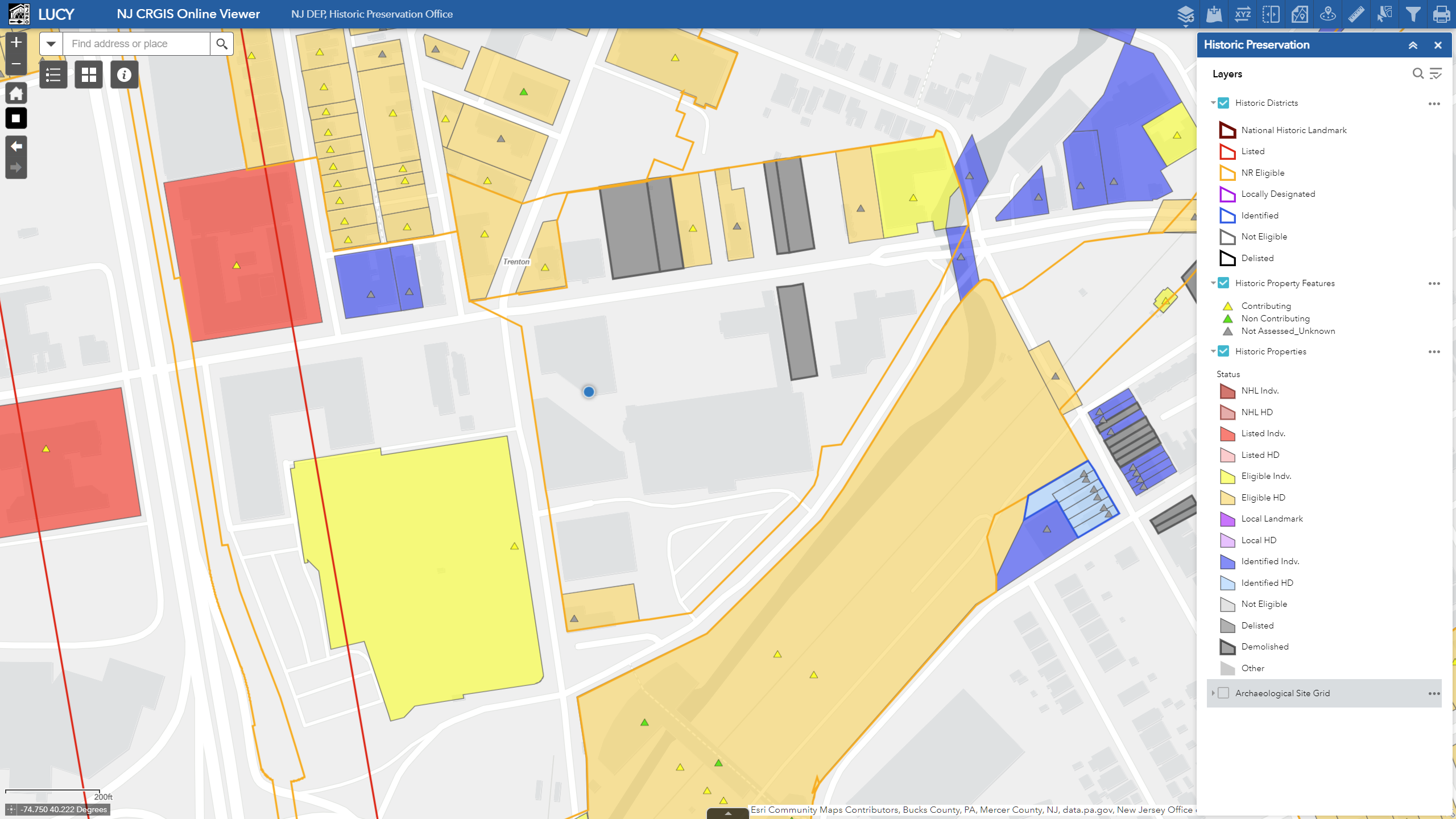
| Historic Districts | Polygon | Boundaries of historic districts in the statewide inventory. Historic districts are a significant concentration, linkage, or continuity of historic properties united …
|
| Historic Properties | Polygon | Boundaries of historic properties in the statewide inventory. These are evaluated individually or as individual components forming a historic district, including:
|
| Historic Property Features | Point | Locations of features within a historic property that are:
These are the features that make up a historic property, including:
|
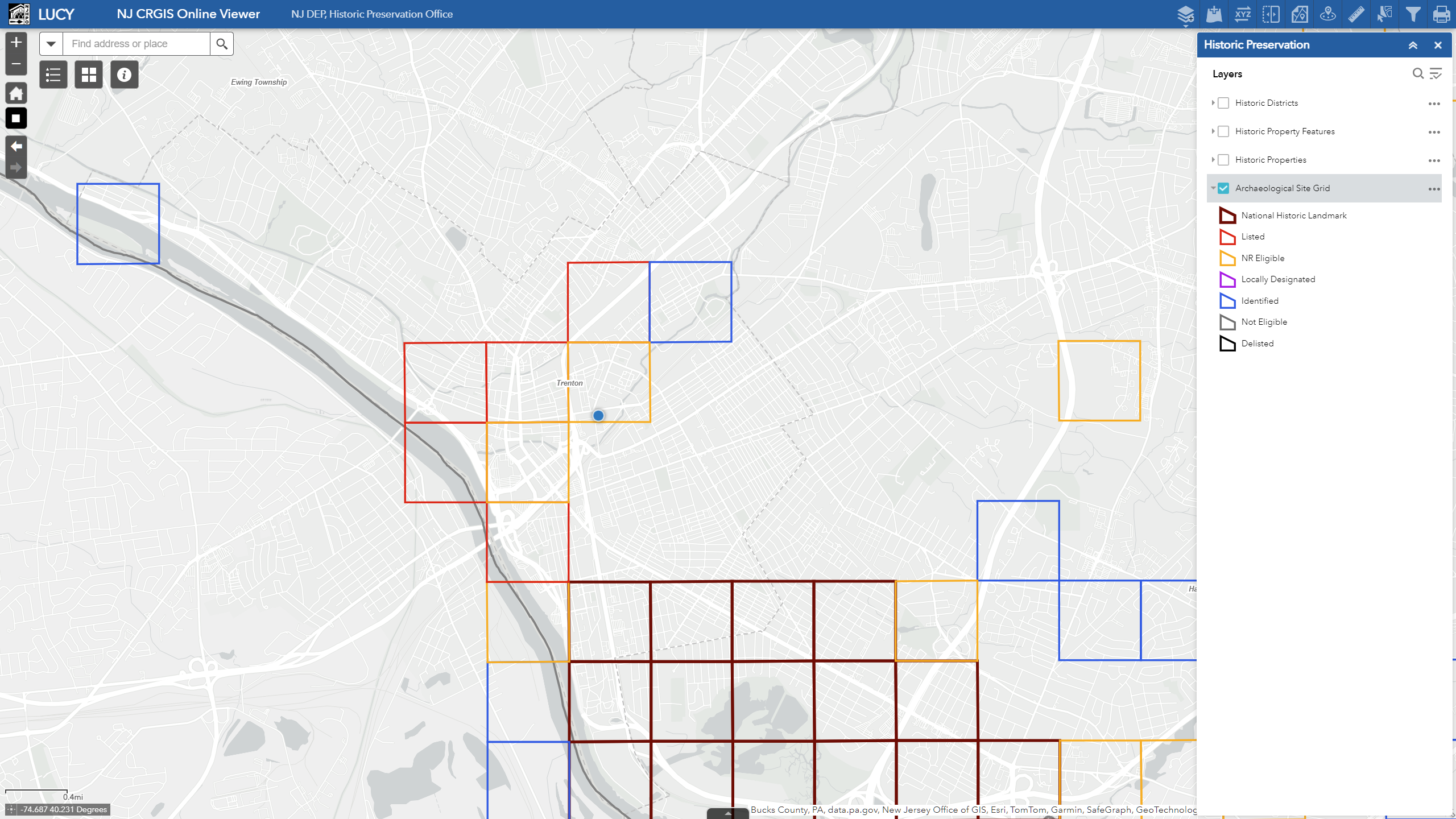
| Archaeological Site Grid | Vector grid | Approximately 1/2-mile cells indicating the general location of previously documented Archaeological Districts or Sites in the statewide inventory. We generate this from known locations of precontact-period or historic-period occupation or activity. |
Our data layers in action
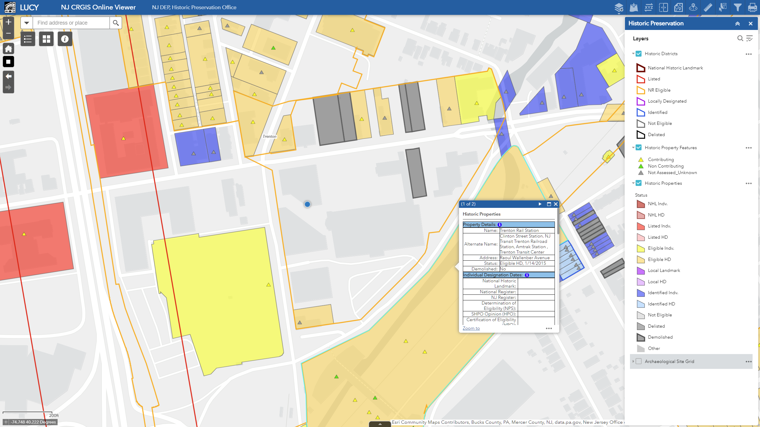
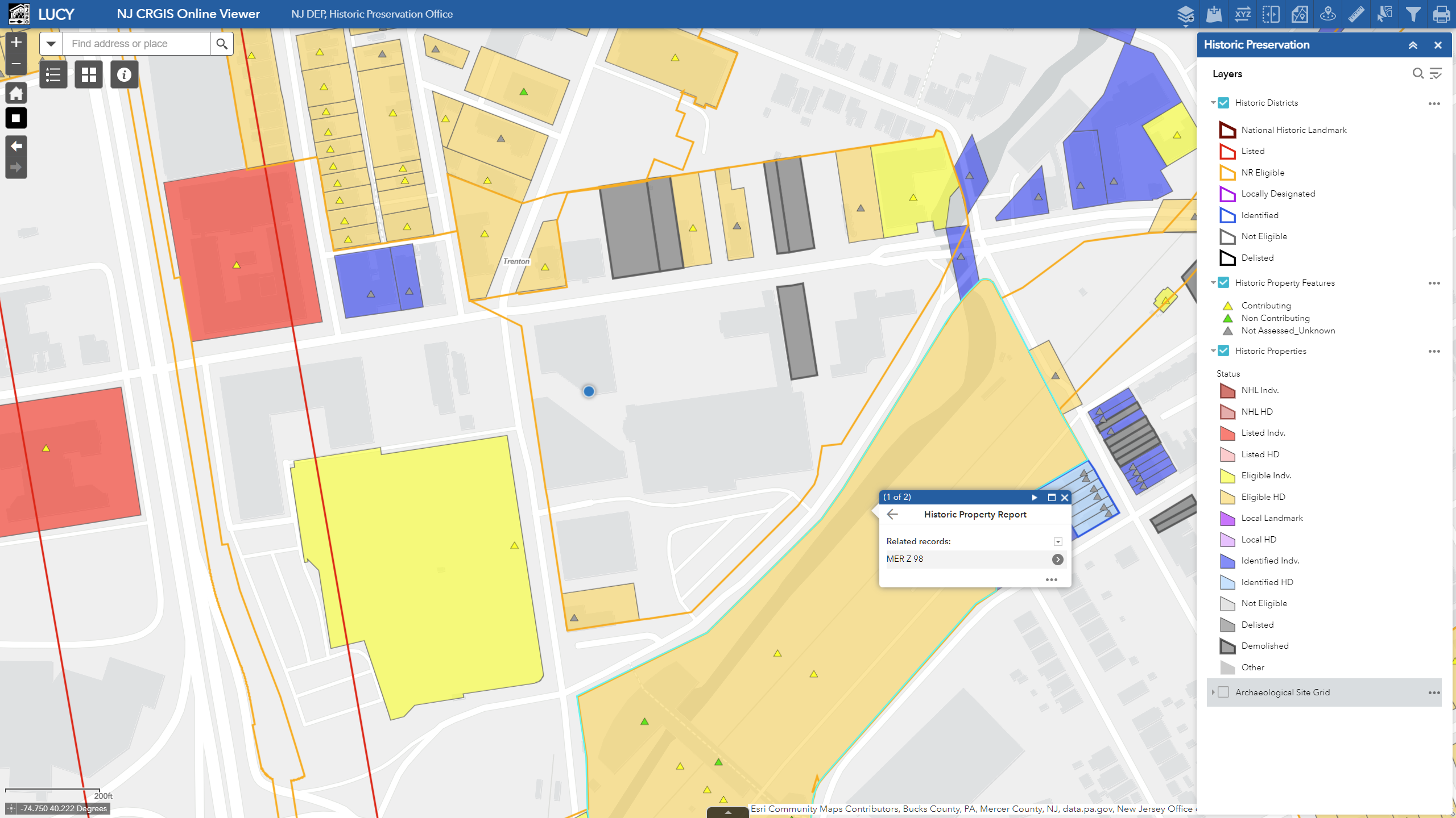
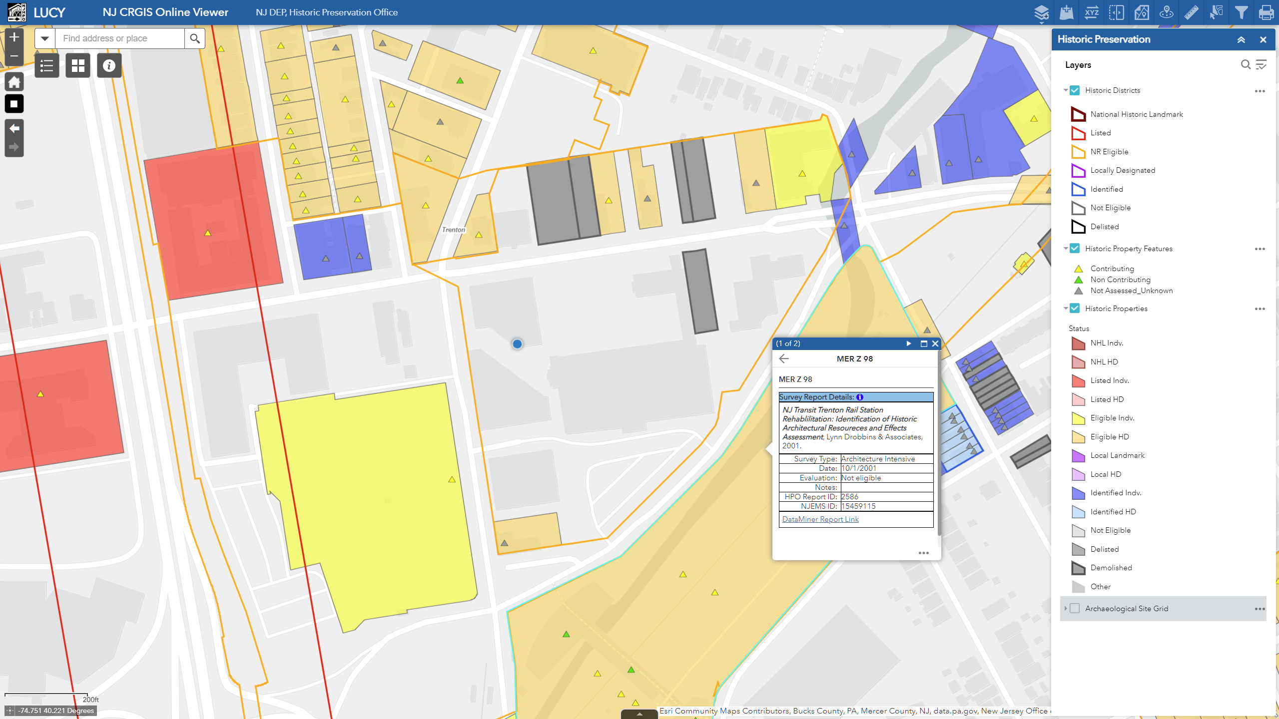
The CRGIS data layers are shared through DEP’s open data portal. They can be downloaded or imported into other GIS-based viewers, but most visitors will use our own webapp. LUCY is an ArcGIS Online-based web mapping application delivering HPO CRGIS data in an intuitive, browser-based format. The application is designed to function in a variety of web browsers, devices and screen types.
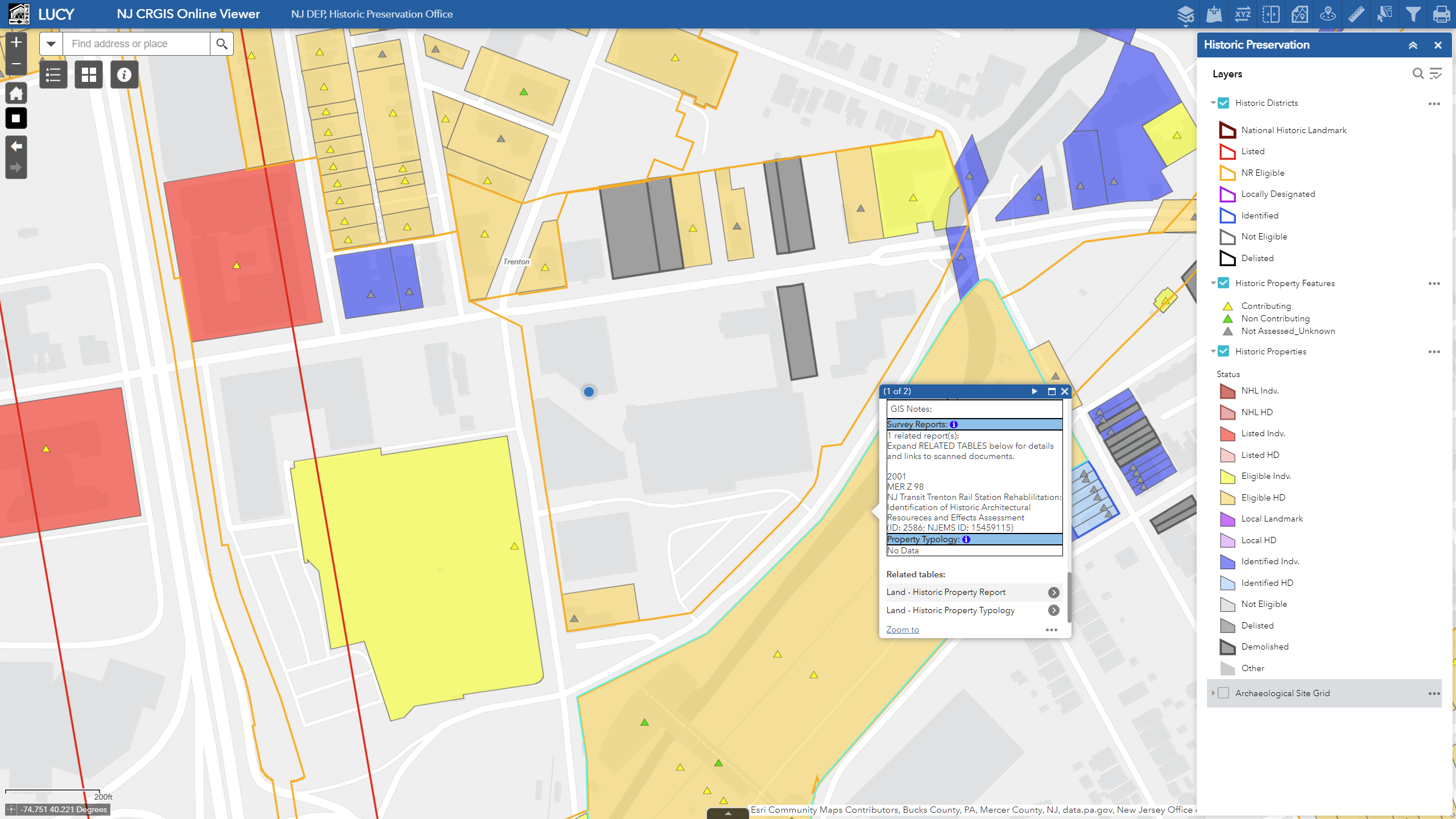
Our current version of LUCY now allows users to look up the following information through our existing CRGIS data layers:
- Links for reading digitized survey reports.
- Known typology — themes and contexts.
This platform will become a portal to additional cultural resources content as it is developed.
Accessing CRGIS data
The CRGIS database is available for public use through any of the following sources:
LUCY Online Map Viewer
Visit LUCY or download the user’s manual.

DEP Resources
NJ-GeoWeb is an online GIS application combining environmental map layers into a single integrated map. DEP also has program-specific maps to assist and educate the public.
NJ Geographic Information Network
The NJ Office of Information Technology (OIT) hosts an open data portal called New Jersey Geographic Information Network (NJGIN) for linking to or downloading GIS data for offline use.
Each of HPO’s GIS layers and associated metadata can be accessed through the NJGIN portal:
