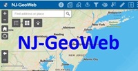
This application provides users access to NJDEP GIS data on the internet. Users can view, query and analyze the Department’s GIS data with related environmental information. One major enhancement is the ability to upload Shapefiles from a local drive, and data from other sources for viewing within the application.
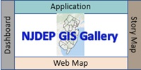
Visit the gallery to view NJDEP’s ArcGIS Online maps and applications.

