New Jersey’s Flood Indicator Tool
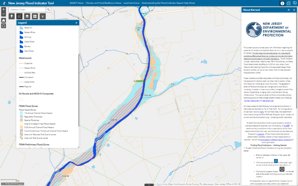
This screening tool provides users with information regarding the presence of indicators of potential flood risk on or near a property of interest. This tool does not calculate actual risk.
Site-specific conditions affect actual flood risk. It does not provide information regarding the applicability of DEP regulations.
Flood indicators include waterbodies, watercourses, FEMA Flood Zones, and State Flood Hazard Areas identified by DEP on New Jersey Flood Hazard Area mapping (Flood Plan) and associated Design Flood Elevation profiles, as well as New Jersey Tidal Climate Adjusted Flood Elevation (CAFE).
Please note: the absence of indicators does not mean that a property is free from flood risk. Flooding can occur anywhere.
The size and extent of flood prone areas are also expanding due to climate change-related impacts like increasing rainfall intensities and sea-level rise .
Local factors that can change the extent of flooding:
- Increases in impervious surface
- Changes to stream flow
- Natural impediments
- Aging, poorly maintained, or failing infrastructure
For areas subject to tidal flooding, future sea-level conditions in tidal areas are depicted by the NJ Tidal CAFE. Read more guidance on sea-level rise . For non-tidal areas, the Department recommends using the FEMA 500-year floodplain as an indicator of current and future conditions (e.g., increasing rainfall intensities).
Determine actual flood risk for a given property, contact:
- A licensed professional engineer
- Your municipality
- DEP’s Division of Land Resource Protection
Determine the jurisdictional limits or applicability of the FHACA rules
Visit DEP’s Division of Land Resource Protection’s website.
A Flood Hazard Area Applicability Determination identifies whether a Flood Hazard permit is required.
Consult the applicability determination checklist for more information
