")
DATA DOWNLOADS
Data Downloads
This page holds a suite of data available for users to download for use in information analysis, such as with geographical information systems (GIS). It was developed to provide a detailed overview of climate change and climate resilience-related data and are designed to assist local government, businesses, landowners, and residents.
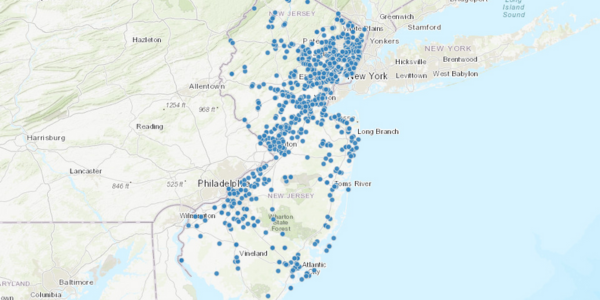
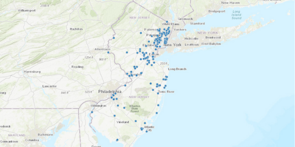
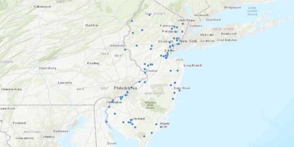
Alternative Fueled Vehicle Fueling Stations
The purpose of this data is to identify the locations of publicly accessible Alternative Fueled Vehicle (AFV) Fueling Stations. The data can be used by Alternative Fueled Vehicle owners, government entities and other stakeholders to identify existing fueling locations and plan for future infrastructure build-out.
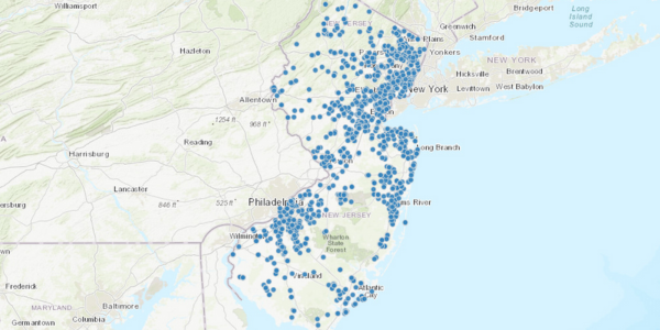
Public Solar Facilities
The purpose of this dataset is to identify solar PV installations at public facilities in New Jersey. Public facilities include: Government Facilities, Public Schools, Public Colleges/Universities, and other public school facilities.
Community Solar PV Projects
This dataset was developed to support the New Jersey Board of Public Utilities and their Community Solar Pilot Program. Providing this geospatial dataset will enable users to view the spatial distribution of projects, as well as relevant information specific to each awarded project. It will also assist with tracking of the program’s growth from year to year.
Solar PV Installations by County
The purpose of this data is to provide data and information on the current status of installed solar PV quantity and capacity within each of New Jersey’s counties.
Solar PV Behind the Meter Greater than 1MW
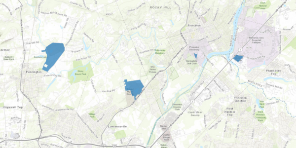
The purpose of this data is to identify the boundaries of behind the meter (not grid supplied) solar PV installations in New Jersey that are greater than 1 megawatt (MW) in size. The data can be used by project managers, government entities and other stakeholders to understand the spatial extent of current photo voltaic installations and plan for future projects.
Solar PV Grid Supply Installations
The purpose of this data is to identify the boundaries of Solar PV Grid Supply Installations in New Jersey. The data can be used by project managers, government entities and other stakeholders to understand the spatial extent of current photo voltaic installations and plan for future projects.
RGGI Climate Investments
The purpose of this dataset is to assist with tracking projects that have been awarded funds from RGGI auction proceeds and provide public transparency on these projects.
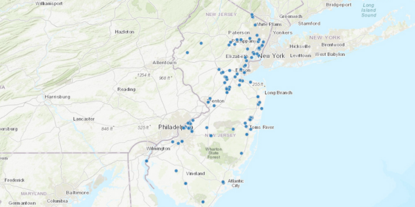
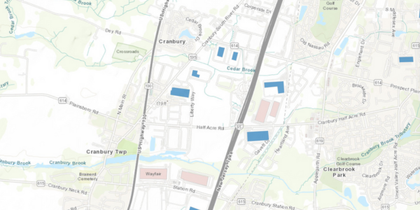
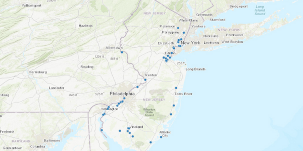
Power Plant Locations
The purpose of this data is to show the spatial distribution of Power Plants in New Jersey. This dataset shows all of the electric generation stations, power plants, above 1 Megawatt capacity in New Jersey, which includes both fossil and renewable energy sources other than solar PV.
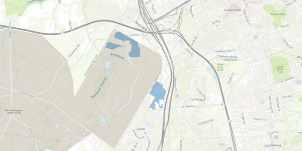
Power Plant Parcels
The purpose of this data is to show the spatial distribution and parcel boundaries of Power Plants in New Jersey.
Power Plants (RGGI EGU)
The purpose of this data is to describe the location of electric generating units (EGUs) that are subject to the Regional Greenhouse Gas Initiative (RGGI).
Municipal Energy Use
This GIS dataset was created to geospatially link the municipal energy use data to the NJ Municipalities dataset so that users can spatially view the electricity and natural use statewide, in each of the specified sectors, as well as overall.
Historic Municipal Energy Use in New Jersey (Table)
This GIS table dataset was created so that users can spatially view the electricity and natural use statewide, in each of the specified sectors, in each year starting in 2015. This dataset represents years 2015 through 2021 at the time of initial publication and will be updated over time when the subsequent year is made available.
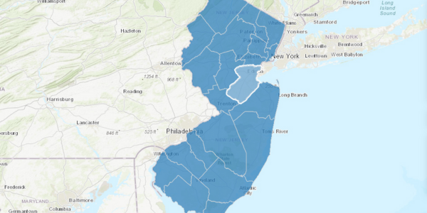
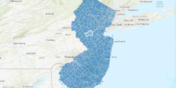
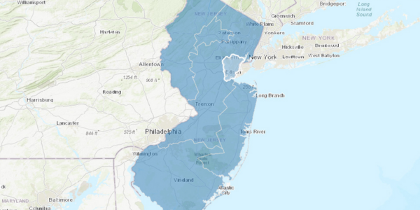
Electric Utilities Territory Map
This data provides graphic representation of electric company territories of New Jersey. Data was compiled using Electric Utility paper maps, all greater than 1:500,000. It is anticipated that electric company territorial boundaries will remain stable.
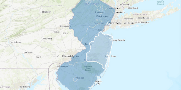
Gas Utilities Territory Map
The data was created to identify the territories served by New Jersey Natural Gas Suppliers. The data can be used by suppliers, consumers, government entities, etc. to determine Natural Gas Supplier service areas throughout the State of New Jersey.